| Well Information Table |
|---|
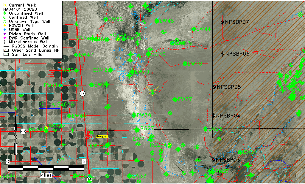
| Common Well ID | NA04101120CBB |
| USGS Well ID | 374712105475901 |
| GSDNP Well Name | 374712105475901 |
| USGS Station Name | NA04101120CBB |
| USGS Construction Date | 07/16/1981 |
| USGS Site Type | Well |
| USGS Site Use Information | Test |
| USGS Groundwater Use Information | Unknown |
| Data Source(s) | USGS |
| Location Data |
|---|
| TRS | NA04101120CBB |
| USGS TRS 1 | NA04101120CBB |
| Longitude/Latitude (NAD83) | -105.80029630 , 37.78666627 |
| Longitude/Latitude Data Source | GWSI decimal LAT/LONG field |
| USGS Longitude/Latitude (NAD83) | -105.800296300 , 37.786666270 |
| Easting, Northing RGDSS-NAD83 (US ft) | 163543.60 , 287887.97 |
| USGS Topography | Valley flat |
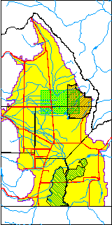
| USGS County | Saguache County |
| USGS Map Name | DEADMAN CAMP |
| USGS Map Scale | 24000 |
| Elevation and Depth Data |
|---|
| Ground Elevation (ft NAVD88) | 7543.36 |
| Elevation Data Source | USGS GWSI database |
| USGS Ground Elevation (ft NGVD29) | 7539.40 |
| 1/3-Arc Second NED Ground Elevation (ft NAVD88) | 7544.11 |
| 1-Arc Second NED Ground Elevation (ft NAVD88) | 7543.09 |
| SRTM Ground Elevation (ft NAVD88) | 7533.03 |
| Total Depth (ft) | 95.00 |
| USGS Hole Depth (ft) | 96.00 |
| USGS Well Depth (ft) | 95.00 |
| Model Layer | 1 |
| Model Layer Source | Well Depth |
| Depth of Bottom of Layer 1 | 105 |
| Depth of Bottom of Layer 2 | 318 |
| Depth of Bottom of Layer 3 | 1589 |
| Depth of Bottom of Layer 4 | 3365 |
| Additional Well Information | Production, Logs, Construction |
| Aquifer Information |
|---|
| Aquifer Type | Unconfined |
| Aquifer Type Source | TD Elevation/Model Layer |
| USGS Hydrologic Unit | San Luis |
| USGS Data Available | Water-level (GW.LEV) |
| Water-level Database Information |
|---|
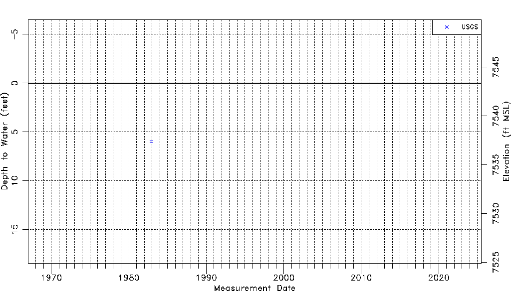
| Water-level Count | 1 |
| Water-level Date Range | 12/03/1982 thru 12/03/1982 |
| Monitored within the last 18 months | No, most recently on 12/03/1982 |
| Depth-to-Water Range (ft) | 5.97 to 5.97 |
| Water Table Elevation Range (ft NAVD88) | 7537.39 to 7537.39 |
| Water-Level-Source:Number-of-Measurements | USGS:1 |