| Well Information Table |
|---|
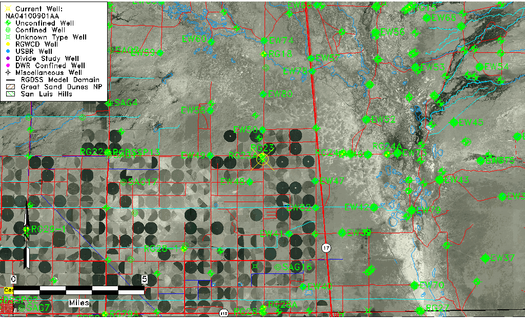
| Common Well ID | NA04100901AA |
| USGS Well ID | 375003105554201 |
| USGS Station Name | NA04100901AA |
| USGS Construction Date | 09/27/1949 |
| USGS Site Type | Well |
| USGS Site Use Information | Test |
| USGS Groundwater Use Information | Unknown |
| Data Source(s) | USGS |
| Location Data |
|---|
| TRS | NA04100901AA |
| USGS TRS 1 | NA04100901AA |
| USGS TRS | S01 T41N R09E N |
| Longitude/Latitude (NAD83) | -105.92890890 , 37.83416619 |
| Longitude/Latitude Data Source | GWSI decimal LAT/LONG field |
| USGS Longitude/Latitude (NAD83) | -105.928908900 , 37.834166190 |
| Easting, Northing RGDSS-NAD83 (US ft) | 126436.03 , 305258.40 |
| USGS Topography | Valley flat |
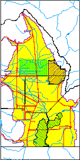
| USGS County | Saguache County |
| USGS Map Name | DEADMAN CAMP SW, CO |
| USGS Map Scale | 24000 |
| Elevation and Depth Data |
|---|
| Ground Elevation (ft NAVD88) | 7553.35 |
| Elevation Data Source | USGS GS corrected using NED3 |
| USGS Ground Elevation (ft NGVD29) | 7548.60 |
| 1/3-Arc Second NED Ground Elevation (ft NAVD88) | 7553.35 |
| 1-Arc Second NED Ground Elevation (ft NAVD88) | 7553.11 |
| SRTM Ground Elevation (ft NAVD88) | 7562.34 |
| Total Depth (ft) | 50.00 |
| USGS Hole Depth (ft) | 62.00 |
| USGS Well Depth (ft) | 50.00 |
| Model Layer | 1 |
| Model Layer Source | Well Depth |
| Depth of Bottom of Layer 1 | 89 |
| Depth of Bottom of Layer 2 | 189 |
| Depth of Bottom of Layer 3 | 1098 |
| Depth of Bottom of Layer 4 | 3119 |
| Additional Well Information | Production, Logs, Construction |
| Aquifer Information |
|---|
| Aquifer Type | Unconfined |
| Aquifer Type Source | TD Elevation/Model Layer |
| USGS Hydrologic Unit | San Luis |
| USGS Data Available | Discharge (GW.DISC) |
| Water-level Database Information |
|---|
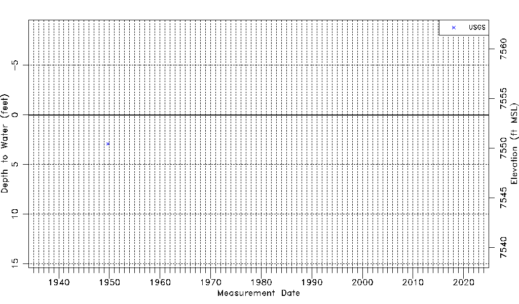
| Water-level Count | 1 |
| Water-level Date Range | 09/29/1949 thru 09/29/1949 |
| Monitored within the last 18 months | No, most recently on 09/29/1949 |
| Depth-to-Water Range (ft) | 2.91 to 2.91 |
| Water Table Elevation Range (ft NAVD88) | 7550.44 to 7550.44 |
| Water-Level-Source:Number-of-Measurements | USGS:1 |