| Well Information Table |
|---|
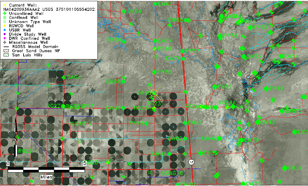
| Common Well ID | NA04200936AAA2 USGS 375101105554202 |
| USGS Well ID | 375101105554202 |
| USGS Station Name | NA04200936AAA2 USGS 375101105554202 |
| USGS Construction Date | 03/10/1978 |
| USGS Site Type | Well |
| USGS Site Use Information | Observation |
| USGS Groundwater Use Information | Unused |
| Data Source(s) | USGS |
| Location Data |
|---|
| TRS | NA04200936AAA2 USGS 375101105554202 |
| USGS TRS 1 | NA04200936AAA2 USGS 375101105554202 |
| USGS TRS | NWNWNWS036T0042NR0009EN |
| Longitude/Latitude (NAD83) | -105.92890860 , 37.85027729 |
| Longitude/Latitude Data Source | GWSI decimal LAT/LONG field |
| USGS Longitude/Latitude (NAD83) | -105.928908600 , 37.850277290 |
| Easting, Northing RGDSS-NAD83 (US ft) | 126452.68 , 311123.39 |
| USGS Topography | Valley flat |
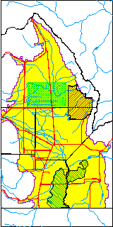
| USGS County | Saguache County |
| USGS Map Name | DEADMAN CAMP SW |
| USGS Map Scale | 24000 |
| Elevation and Depth Data |
|---|
| Ground Elevation (ft NAVD88) | 7551.33 |
| Elevation Data Source | USGS GWSI database |
| USGS Ground Elevation (ft NGVD29) | 7547.50 |
| 1/3-Arc Second NED Ground Elevation (ft NAVD88) | 7549.94 |
| 1-Arc Second NED Ground Elevation (ft NAVD88) | 7550.88 |
| SRTM Ground Elevation (ft NAVD88) | 7552.73 |
| Total Depth (ft) | 7.54 |
| USGS Hole Depth (ft) | 7.54 |
| USGS Well Depth (ft) | 7.54 |
| Model Layer | 1 |
| Model Layer Source | Well Depth |
| Depth of Bottom of Layer 1 | 88 |
| Depth of Bottom of Layer 2 | 178 |
| Depth of Bottom of Layer 3 | 1028 |
| Depth of Bottom of Layer 4 | 3153 |
| Additional Well Information | Construction |
| Aquifer Information |
|---|
| Aquifer Type | Unconfined |
| Aquifer Type Source | TD Elevation/Model Layer |
| USGS Hydrologic Unit | San Luis |
| USGS Data Available | Miscellaneous (GW.MISC) |
| Water-level Database Information |
|---|
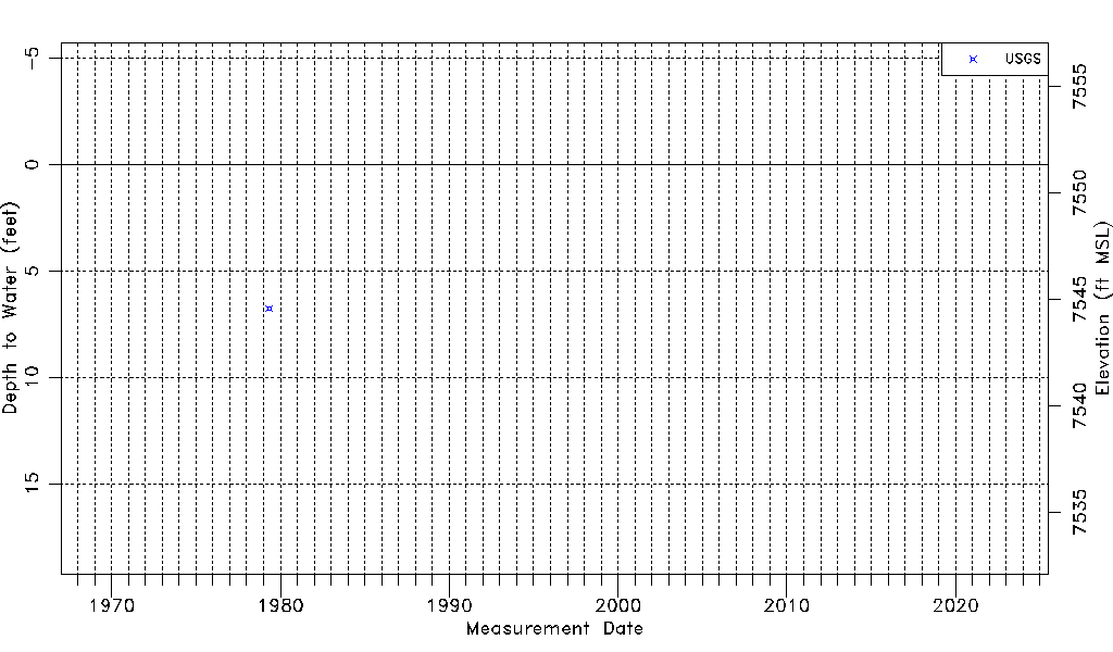
| Water-level Count | 1 |
| Water-level Date Range | 05/03/1979 thru 05/03/1979 |
| Monitored within the last 18 months | No, most recently on 05/03/1979 |
| Depth-to-Water Range (ft) | 6.76 to 6.76 |
| Water Table Elevation Range (ft NAVD88) | 7544.57 to 7544.57 |
| Water-Level-Source:Number-of-Measurements | USGS:1 |