| Well Information Table |
|---|
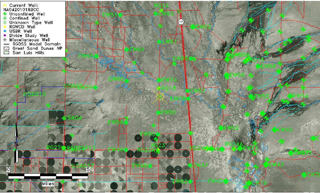
| Common Well ID | NA04201018BCC |
| USGS Well ID | 375321105553101 |
| USGS Station Name | NA04201018BCC |
| USGS Site Type | Well |
| USGS Site Use Information | Withdrawal of Water |
| USGS Groundwater Use Information | Stock |
| Data Source(s) | USGS |
| Location Data |
|---|
| TRS | NA04201018BCC |
| USGS TRS 1 | NA04201018BCC |
| USGS TRS | SWSWNWS18 T10N R42 N |
| Longitude/Latitude (NAD83) | -105.92668550 , 37.88472169 |
| Longitude/Latitude Data Source | GWSI decimal LAT/LONG field |
| USGS Longitude/Latitude (NAD83) | -105.926685500 , 37.884721690 |
| Easting, Northing RGDSS-NAD83 (US ft) | 127129.58 , 323660.56 |
| USGS Topography | Valley flat |
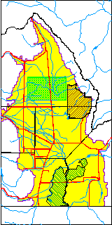
| USGS County | Saguache County |
| USGS Map Name | MOFFAT SOUTH |
| USGS Map Scale | 24000 |
| Elevation and Depth Data |
|---|
| Ground Elevation (ft NAVD88) | 7544.81 |
| Elevation Data Source | USGS GWSI database |
| USGS Ground Elevation (ft NGVD29) | 7541.00 |
| 1/3-Arc Second NED Ground Elevation (ft NAVD88) | 7545.07 |
| 1-Arc Second NED Ground Elevation (ft NAVD88) | 7545.89 |
| SRTM Ground Elevation (ft NAVD88) | 7552.47 |
| Total Depth (ft) | 107.00 |
| USGS Well Depth (ft) | 107.00 |
| Model Layer | 2 |
| Model Layer Source | Well Depth |
| Depth of Bottom of Layer 1 | 79 |
| Depth of Bottom of Layer 2 | 154 |
| Depth of Bottom of Layer 3 | 841 |
| Depth of Bottom of Layer 4 | 3210 |
| Additional Well Information | NONE |
| Aquifer Information |
|---|
| Aquifer Type | Confined |
| Aquifer Type Source | TD Elevation/Model Layer |
| USGS Hydrologic Unit | Saguache |
| USGS Data Available | Water-level (GW.LEV) |
| Water-level Database Information |
|---|
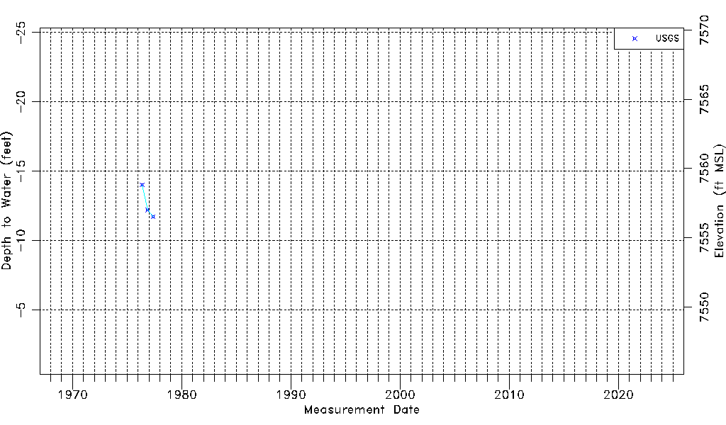
| Water-level Count | 3 |
| Water-level Date Range | 05/19/1976 thru 05/25/1977 |
| Monitored within the last 18 months | No, most recently on 05/25/1977 |
| Depth-to-Water Range (ft) | -14.00 to -11.70 |
| Water Table Elevation Range (ft NAVD88) | 7556.51 to 7558.81 |
| Water-Level-Source:Number-of-Measurements | USGS:3 |