| Well Information Table |
|---|
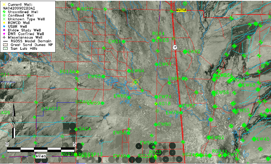
| Common Well ID | NA04200902BDA2 |
| USGS Well ID | 375456105572002 |
| USGS Station Name | NA04200902BDA2 |
| USGS Construction Date | 03/07/1978 |
| USGS Site Type | Well |
| USGS Site Use Information | Observation |
| USGS Groundwater Use Information | Unknown |
| Data Source(s) | USGS |
| Location Data |
|---|
| TRS | NA04200902BDA2 |
| USGS TRS 1 | NA04200902BDA2 |
| Longitude/Latitude (NAD83) | -105.95612980 , 37.91555500 |
| Longitude/Latitude Data Source | GWSI decimal LAT/LONG field |
| USGS Longitude/Latitude (NAD83) | -105.956129800 , 37.915555000 |
| Easting, Northing RGDSS-NAD83 (US ft) | 118669.39 , 334910.31 |
| USGS Topography | Valley flat |
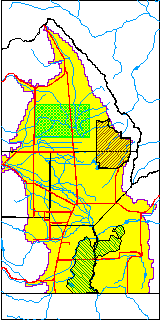
| USGS County | Saguache County |
| USGS Map Name | MOFFAT SOUTH |
| USGS Map Scale | 24000 |
| Elevation and Depth Data |
|---|
| Ground Elevation (ft NAVD88) | 7549.50 |
| Elevation Data Source | USGS GWSI database |
| USGS Ground Elevation (ft NGVD29) | 7545.60 |
| 1/3-Arc Second NED Ground Elevation (ft NAVD88) | 7549.15 |
| 1-Arc Second NED Ground Elevation (ft NAVD88) | 7549.28 |
| SRTM Ground Elevation (ft NAVD88) | 7552.49 |
| Total Depth (ft) | 8.60 |
| USGS Hole Depth (ft) | 8.60 |
| USGS Well Depth (ft) | 8.60 |
| Model Layer | 1 |
| Model Layer Source | Well Depth |
| Depth of Bottom of Layer 1 | 83 |
| Depth of Bottom of Layer 2 | 135 |
| Depth of Bottom of Layer 3 | 513 |
| Depth of Bottom of Layer 4 | 2721 |
| Additional Well Information | Construction |
| Aquifer Information |
|---|
| Aquifer Type | Unconfined |
| Aquifer Type Source | TD Elevation/Model Layer |
| USGS Hydrologic Unit | Saguache |
| USGS Data Available | Miscellaneous (GW.MISC) |
| Water-level Database Information |
|---|
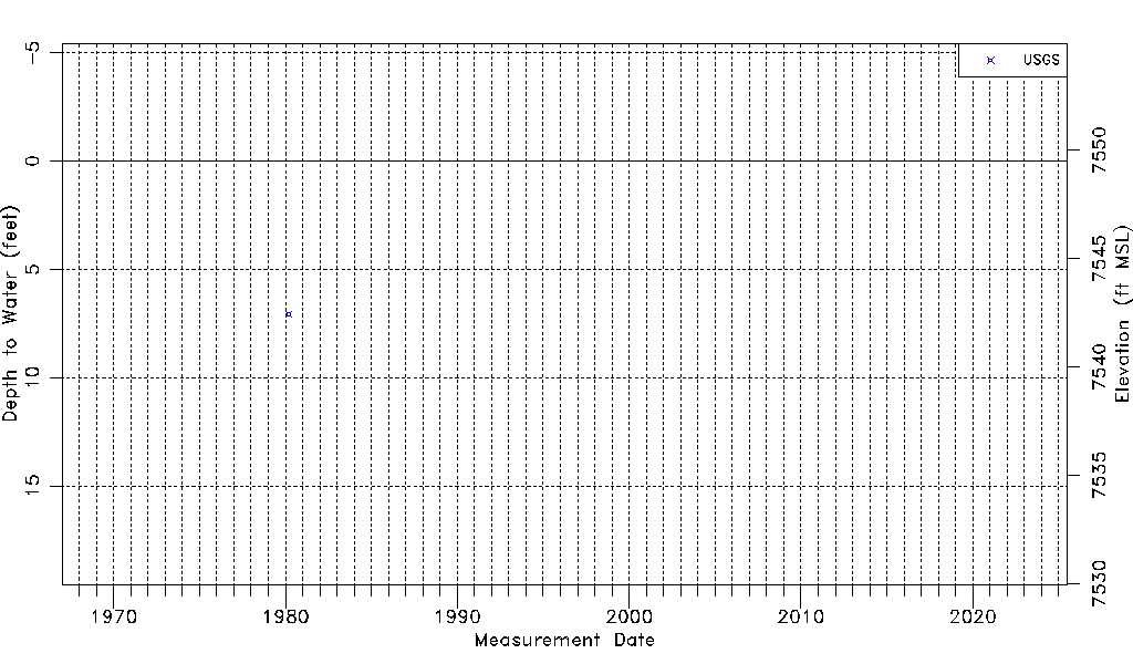
| Water-level Count | 1 |
| Water-level Date Range | 03/05/1980 thru 03/05/1980 |
| Monitored within the last 18 months | No, most recently on 03/05/1980 |
| Depth-to-Water Range (ft) | 7.06 to 7.06 |
| Water Table Elevation Range (ft NAVD88) | 7542.44 to 7542.44 |
| Water-Level-Source:Number-of-Measurements | USGS:1 |