| Well Information Table |
|---|
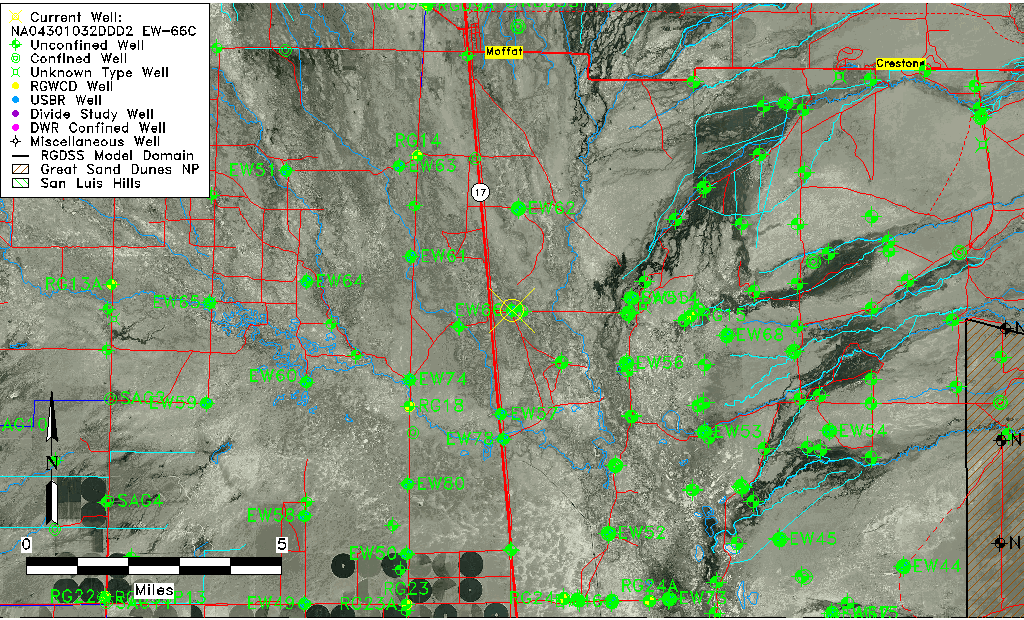
| Common Well ID | NA04301032DDD2 EW-66C |
| USBR Well ID | EW66C |
| USGS Well ID | 375510105532702 |
| USGS Station Name | NA04301032DDD2 EW-66C |
| USGS Site Type | Well |
| USGS Site Use Information | Observation |
| USGS Groundwater Use Information | Unknown |
| Data Source(s) | USGS, USBR |
| Location Data |
|---|
| TRS | NA04301032DDD2 EW-66C |
| USBR TRS | NA04301032DDD2 |
| USGS TRS 1 | NA04301032DDD2 EW-66C |
| Longitude/Latitude (NAD83) | -105.89136634 , 37.91946955 |
| Longitude/Latitude Data Source | USBOR EW well locations |
| USGS Longitude/Latitude (NAD83) | -105.891406000 , 37.919443800 |
| USBR Longitude/Latitude (NAD27) | -105.890793593002 , 37.9194701686790 |
| Easting, Northing RGDSS-NAD83 (US ft) | 137350.69 , 336283.32 |
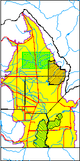
| USGS County | Saguache County |
| Elevation and Depth Data |
|---|
| Ground Elevation (ft NAVD88) | 7546.74 |
| Elevation Data Source | USBOR EW well database |
| USBR Ground Elevation (ft NGVD29) | 7542.9 |
| USGS Ground Elevation (ft NGVD29) | 7542.92 |
| 1/3-Arc Second NED Ground Elevation (ft NAVD88) | 7544.27 |
| 1-Arc Second NED Ground Elevation (ft NAVD88) | 7544.57 |
| SRTM Ground Elevation (ft NAVD88) | 7553.01 |
| Total Depth (ft) | 124.00 |
| USBR Total Depth (ft) | 124 |
| Model Layer | 2 |
| Model Layer Source | Well Depth |
| Depth of Bottom of Layer 1 | 67 |
| Depth of Bottom of Layer 2 | 150 |
| Depth of Bottom of Layer 3 | 846 |
| Depth of Bottom of Layer 4 | 3647 |
| Additional Well Information | NONE |
| Aquifer Information |
|---|
| Aquifer Type | Confined |
| Aquifer Type Source | EW_AQFR |
| USGS Hydrologic Unit | Saguache |
| USGS Data Available | Water-level (GW.LEV) |
| Water-level Database Information |
|---|
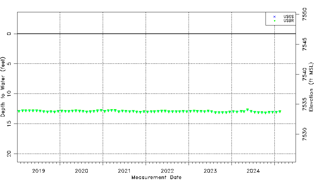
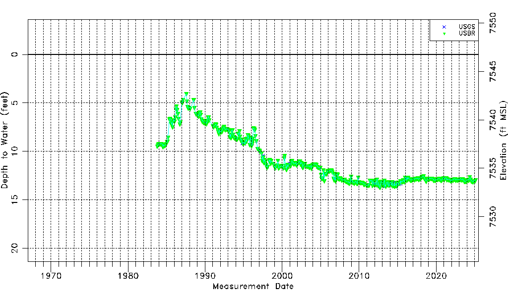
| Water-level Count | 507 |
| Water-level Date Range | 10/19/1983 thru 09/15/2025 |
| Monitored within the last 18 months | Yes, most recently on 09/15/2025 |
| Depth-to-Water Range (ft) | 4.05 to 13.69 |
| Water Table Elevation Range (ft NAVD88) | 7533.05 to 7542.69 |
| Water-Level-Source:Number-of-Measurements | USGS:42 USBR:469 |