| Well Information Table |
|---|
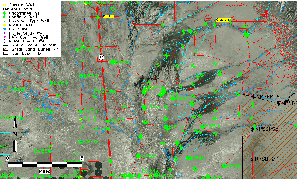
| Common Well ID | NA04301035DCC2 |
| USGS Well ID | 375515105503802 |
| GSDNP Well Name | 375515105503802 |
| USGS Station Name | NA04301035DCC2 |
| USGS Site Type | Well |
| USGS Site Use Information | Withdrawal of Water |
| USGS Groundwater Use Information | Stock |
| Data Source(s) | USGS |
| Location Data |
|---|
| TRS | NA04301035DCC2 |
| USGS TRS 1 | NA04301035DCC2 |
| Longitude/Latitude (NAD83) | -105.84446060 , 37.92083265 |
| Longitude/Latitude Data Source | GWSI decimal LAT/LONG field |
| USGS Longitude/Latitude (NAD83) | -105.844460600 , 37.920832650 |
| Easting, Northing RGDSS-NAD83 (US ft) | 150878.47 , 336749.94 |
| USGS Topography | Valley flat |
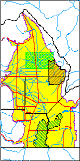
| USGS County | Saguache County |
| USGS Map Name | SHEDS CAMP |
| USGS Map Scale | 24000 |
| Elevation and Depth Data |
|---|
| Ground Elevation (ft NAVD88) | 7545.97 |
| Elevation Data Source | USGS GWSI database |
| USGS Ground Elevation (ft NGVD29) | 7542.00 |
| 1/3-Arc Second NED Ground Elevation (ft NAVD88) | 7544.44 |
| 1-Arc Second NED Ground Elevation (ft NAVD88) | 7545.30 |
| SRTM Ground Elevation (ft NAVD88) | 7536.49 |
| Depth of Bottom of Layer 1 | 98 |
| Depth of Bottom of Layer 2 | 257 |
| Depth of Bottom of Layer 3 | 1464 |
| Depth of Bottom of Layer 4 | 4962 |
| Additional Well Information | Production |
| Aquifer Information |
|---|
| Aquifer Type | Unknown |
| Aquifer Type Source | None |
| USGS Hydrologic Unit | San Luis |
| USGS Data Available | Water-level (GW.LEV) |
| Water-level Database Information |
|---|
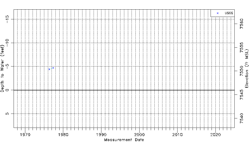
| Water-level Count | 2 |
| Water-level Date Range | 05/19/1976 thru 05/25/1977 |
| Monitored within the last 18 months | No, most recently on 05/25/1977 |
| Depth-to-Water Range (ft) | -4.70 to -4.40 |
| Water Table Elevation Range (ft NAVD88) | 7550.37 to 7550.67 |
| Water-Level-Source:Number-of-Measurements | USGS:2 |