| Well Information Table |
|---|
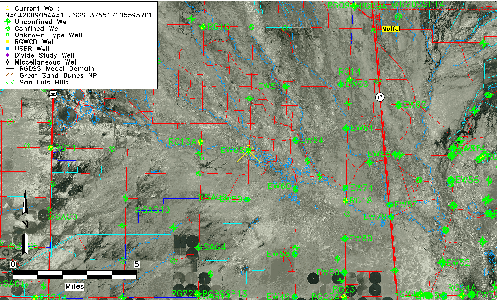
| Common Well ID | NA04200905AAA1 USGS 375517105595701 |
| USGS Well ID | 375517105595701 |
| USGS Station Name | NA04200905AAA1 USGS 375517105595701 |
| USGS Site Type | Well |
| USGS Site Use Information | Observation |
| USGS Groundwater Use Information | Unknown |
| Data Source(s) | USGS |
| Location Data |
|---|
| TRS | NA04200905AAA1 USGS 375517105595701 |
| USGS TRS 1 | NA04200905AAA1 USGS 375517105595701 |
| Longitude/Latitude (NAD83) | -105.99974170 , 37.92138840 |
| Longitude/Latitude Data Source | GWSI decimal LAT/LONG field |
| USGS Longitude/Latitude (NAD83) | -105.999741700 , 37.921388400 |
| Easting, Northing RGDSS-NAD83 (US ft) | 106099.23 , 337076.26 |
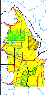
| USGS County | Saguache County |
| Elevation and Depth Data |
|---|
| Ground Elevation (ft NAVD88) | 7552.74 |
| Elevation Data Source | USGS GWSI database |
| USGS Ground Elevation (ft NGVD29) | 7548.73 |
| 1/3-Arc Second NED Ground Elevation (ft NAVD88) | 7551.97 |
| 1-Arc Second NED Ground Elevation (ft NAVD88) | 7551.91 |
| SRTM Ground Elevation (ft NAVD88) | 7555.78 |
| Depth of Bottom of Layer 1 | 95 |
| Depth of Bottom of Layer 2 | 140 |
| Depth of Bottom of Layer 3 | 411 |
| Depth of Bottom of Layer 4 | 2284 |
| Additional Well Information | NONE |
| Aquifer Information |
|---|
| Aquifer Type | Unknown |
| Aquifer Type Source | None |
| USGS Hydrologic Unit | Saguache |
| USGS Data Available | Water-level (GW.LEV) |
| Water-level Database Information |
|---|
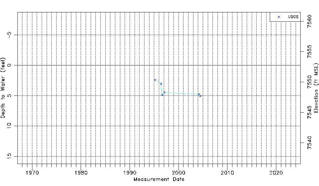
| Water-level Count | 6 |
| Water-level Date Range | 03/30/1995 thru 06/16/2004 |
| Monitored within the last 18 months | No, most recently on 06/16/2004 |
| Depth-to-Water Range (ft) | 2.41 to 5.06 |
| Water Table Elevation Range (ft NAVD88) | 7547.68 to 7550.33 |
| Water-Level-Source:Number-of-Measurements | USGS:6 |