| Well Information Table |
|---|
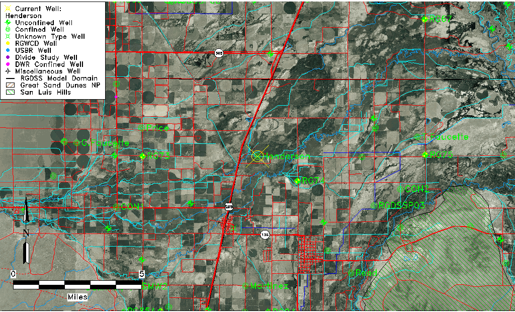
| Common Well ID | Henderson |
| CWCD Well Name | Henderson |
| USGS Site Use Information | Unknown |
| USGS Groundwater Use Information | Unknown |
| Data Source(s) | CWCD |
| Location Data |
|---|
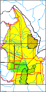
| TRS | Henderson |
| Longitude/Latitude (NAD83) | -105.93825000 , 37.31286100 |
| Longitude/Latitude Data Source | Conejos WCD |
| Easting, Northing RGDSS-NAD83 (US ft) | 123195.63 , 115501.59 |
| Elevation and Depth Data |
|---|
| Ground Elevation (ft NAVD88) | 7584.00 |
| Elevation Data Source | CWCD data |
| 1/3-Arc Second NED Ground Elevation (ft NAVD88) | 7583.51 |
| 1-Arc Second NED Ground Elevation (ft NAVD88) | 7584.81 |
| SRTM Ground Elevation (ft NAVD88) | 7585.70 |
| Total Depth (ft) | 691.00 |
| Depth to Top of Screen (ft) | 481.0 |
| Depth to Bottom of Screen (ft) | 691.00 |
| Model Layer | 4 |
| Model Layer Source | CWCD/HRS |
| Depth of Bottom of Layer 1 | 21 |
| Depth of Bottom of Layer 2 | 274 |
| Depth of Bottom of Layer 3 | 459 |
| Depth of Bottom of Layer 4 | 2280 |
| Additional Well Information | NONE |
| Aquifer Information |
|---|
| Aquifer Type | Confined |
| Aquifer Type Source | CWCD_AQFR |
| Water-level Database Information |
|---|
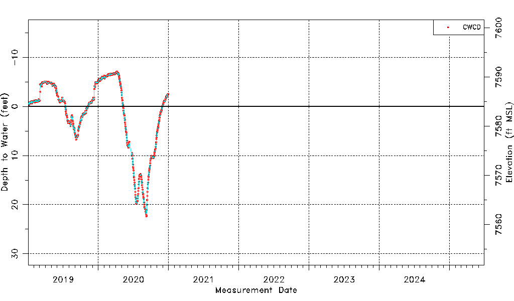
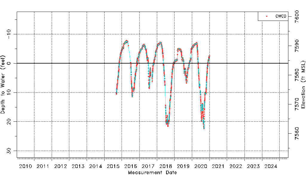
| Water-level Count | 1832 |
| Water-level Date Range | 09/10/2015 thru 12/31/2020 |
| Monitored within the last 18 months | No, most recently on 12/31/2020 |
| Depth-to-Water Range (ft) | -7.78 to 22.39 |
| Water Table Elevation Range (ft NAVD88) | 7561.61 to 7591.78 |
| Water-Level-Source:Number-of-Measurements | CWCD:1832 |