| Well Information Table |
|---|
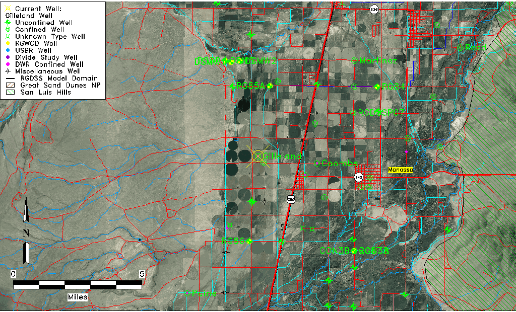
| Common Well ID | Gilleland Well |
| CWCD Well Name | Gilleland Well |
| USGS Site Use Information | Unknown |
| USGS Groundwater Use Information | Unknown |
| Data Source(s) | DWR, CWCD |
| Location Data |
|---|
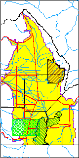
| TRS | Gilleland Well |
| Longitude/Latitude (NAD83) | -106.01428200 , 37.18556700 |
| Longitude/Latitude Data Source | Conejos WCD |
| Easting, Northing RGDSS-NAD83 (US ft) | 100923.53 , 69237.11 |
| Elevation and Depth Data |
|---|
| Ground Elevation (ft NAVD88) | 7732.00 |
| Elevation Data Source | CWCD data |
| 1/3-Arc Second NED Ground Elevation (ft NAVD88) | 7732.20 |
| 1-Arc Second NED Ground Elevation (ft NAVD88) | 7732.01 |
| SRTM Ground Elevation (ft NAVD88) | 7736.09 |
| Total Depth (ft) | 325.00 |
| Depth to Top of Screen (ft) | 165.0 |
| Depth to Bottom of Screen (ft) | 310.00 |
| Model Layer | 3 |
| Model Layer Source | CWCD/HRS |
| Depth of Bottom of Layer 1 | 47 |
| Depth of Bottom of Layer 2 | 135 |
| Depth of Bottom of Layer 3 | 240 |
| Depth of Bottom of Layer 4 | 1531 |
| Additional Well Information | NONE |
| Aquifer Information |
|---|
| Aquifer Type | Confined |
| Aquifer Type Source | CWCD_AQFR |
| Water-level Database Information |
|---|
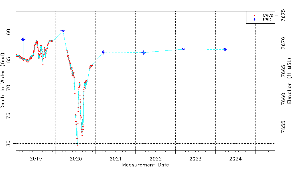
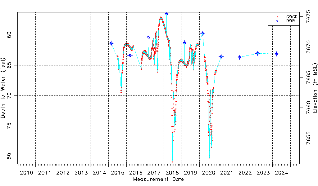
| Water-level Count | 1491 |
| Water-level Date Range | 02/27/2015 thru 03/11/2026 |
| Monitored within the last 18 months | Yes, most recently on 03/11/2026 |
| Depth-to-Water Range (ft) | 56.55 to 80.95 |
| Water Table Elevation Range (ft NAVD88) | 7651.05 to 7675.45 |
| Water-Level-Source:Number-of-Measurements | CWCD:1479 DWR:12 |