| Well Information Table |
|---|
| Common Well ID | Salazar Well |
| CWCD Well Name | Salazar Well |
| USGS Site Use Information | Unknown |
| USGS Groundwater Use Information | Unknown |
| Data Source(s) | CWCD |
| Location Data |
|---|
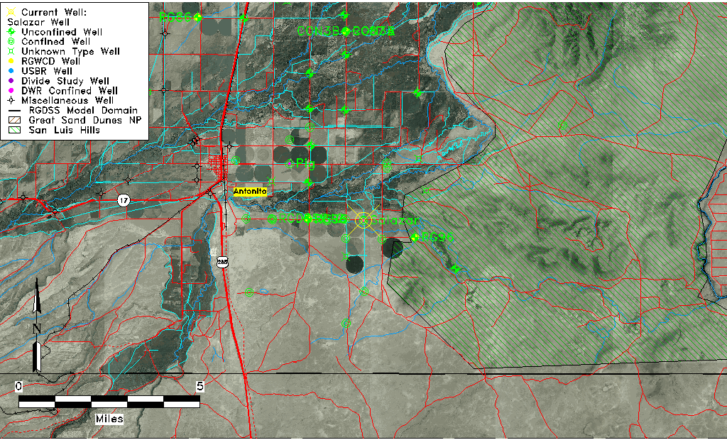
| TRS | Salazar Well |
| Longitude/Latitude (NAD83) | -105.93731700 , 37.05677500 |
| Longitude/Latitude Data Source | Conejos WCD |
| Easting, Northing RGDSS-NAD83 (US ft) | 123209.08 , 22286.93 |
| Elevation and Depth Data |
|---|
| Ground Elevation (ft NAVD88) | 7783.00 |
| Elevation Data Source | CWCD data |
| 1/3-Arc Second NED Ground Elevation (ft NAVD88) | 7781.98 |
| 1-Arc Second NED Ground Elevation (ft NAVD88) | 7784.10 |
| SRTM Ground Elevation (ft NAVD88) | 7789.15 |
| Total Depth (ft) | 223.00 |
| Depth to Top of Screen (ft) | 100.0 |
| Depth to Bottom of Screen (ft) | 250.00 |
| Model Layer | 3 |
| Model Layer Source | CWCD/HRS |
| Depth of Bottom of Layer 1 | 32 |
| Depth of Bottom of Layer 2 | 129 |
| Depth of Bottom of Layer 3 | 307 |
| Depth of Bottom of Layer 4 | 1626 |
| Additional Well Information | NONE |
| Aquifer Information |
|---|
| Aquifer Type | Confined |
| Aquifer Type Source | CWCD_AQFR |
| Water-level Database Information |
|---|
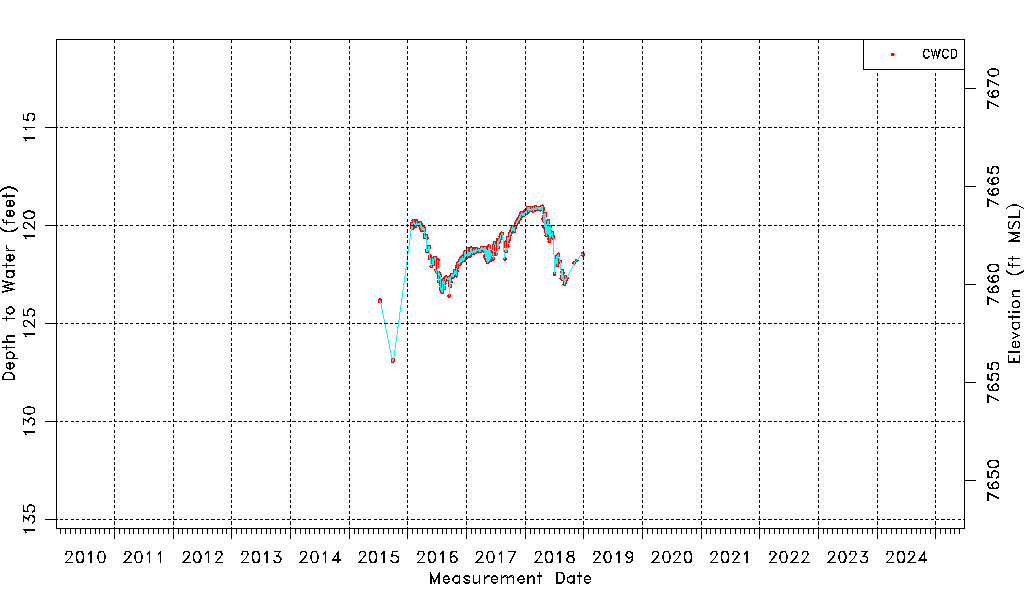
| Water-level Count | 822 |
| Water-level Date Range | 07/09/2015 thru 12/27/2018 |
| Monitored within the last 18 months | No, most recently on 12/27/2018 |
| Depth-to-Water Range (ft) | 119.01 to 126.93 |
| Water Table Elevation Range (ft NAVD88) | 7656.07 to 7663.99 |
| Water-Level-Source:Number-of-Measurements | CWCD:822 |