| Well Information Table |
|---|
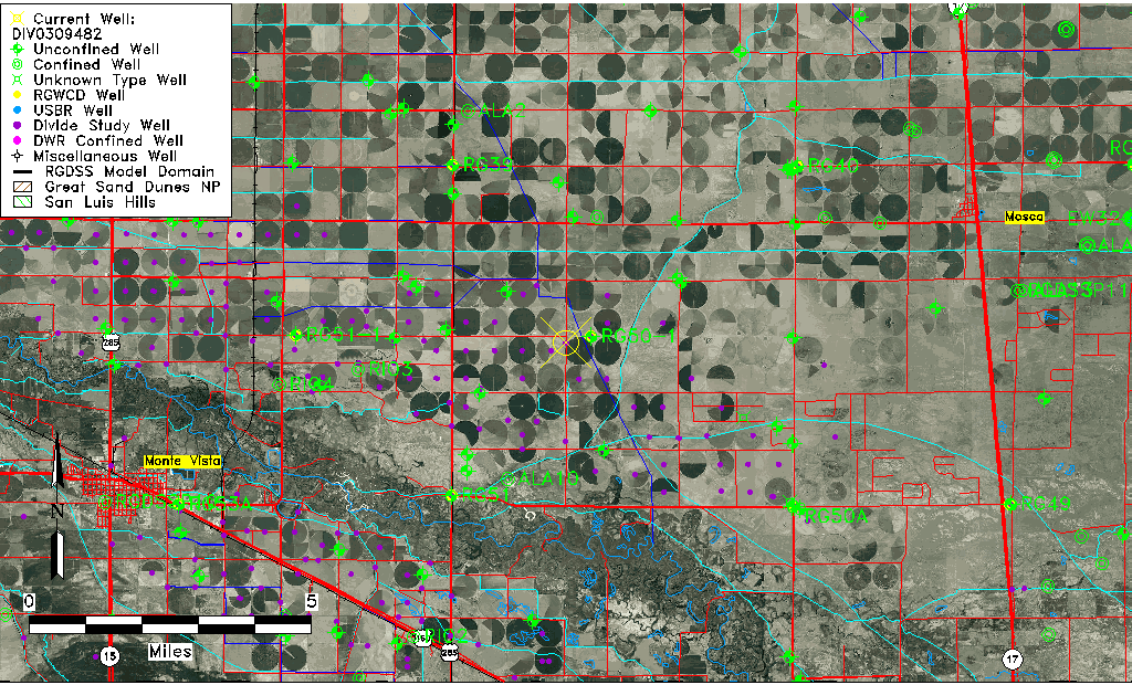
| Common Well ID | DIV0309482 |
| USGS Site Use Information | Unknown |
| USGS Groundwater Use Information | Unknown |
| Data Source(s) | Divide Study |
| Location Data |
|---|
| Longitude/Latitude (NAD83) | -106.00209255 , 37.61634837 |
| Longitude/Latitude Data Source | Divide Study |
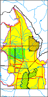
| Easting, Northing RGDSS-NAD83 (US ft) | 105022.57 , 226033.91 |
| Elevation and Depth Data |
|---|
| Ground Elevation (ft NAVD88) | 7597.46 |
| Elevation Data Source | Divide study surveying by Davis Engineering |
| 1/3-Arc Second NED Ground Elevation (ft NAVD88) | 7597.36 |
| 1-Arc Second NED Ground Elevation (ft NAVD88) | 7597.17 |
| SRTM Ground Elevation (ft NAVD88) | 7604.47 |
| Model Layer | 1 |
| Model Layer Source | Aquifer Type |
| Depth of Bottom of Layer 1 | 84 |
| Depth of Bottom of Layer 2 | 231 |
| Depth of Bottom of Layer 3 | 724 |
| Depth of Bottom of Layer 4 | 2043 |
| Additional Well Information | NONE |
| Aquifer Information |
|---|
| Aquifer Type | Unconfined |
| Aquifer Type Source | DIV_AQ |
| Water-level Database Information |
|---|
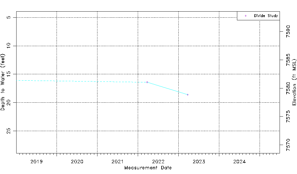
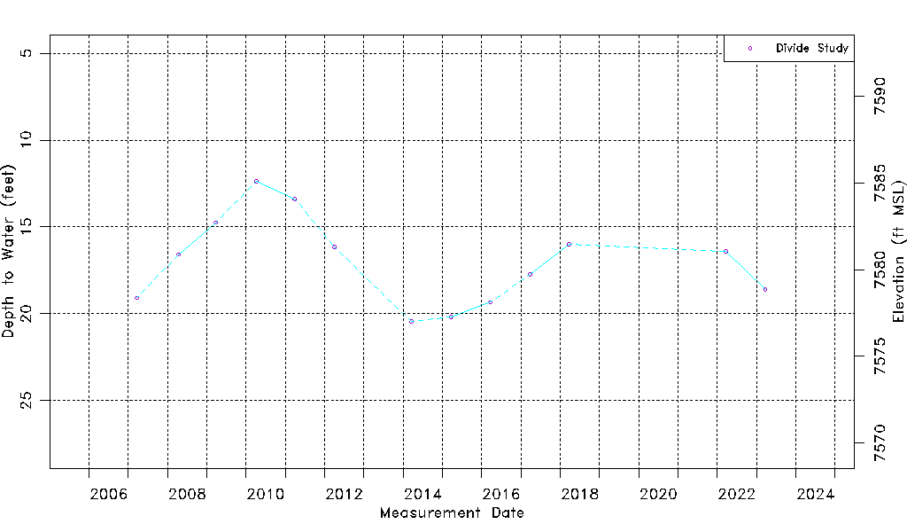
| Water-level Count | 13 |
| Water-level Date Range | 03/21/2007 thru 03/24/2023 |
| Monitored within the last 18 months | No, most recently on 03/24/2023 |
| Depth-to-Water Range (ft) | 12.38 to 20.46 |
| Water Table Elevation Range (ft NAVD88) | 7577.00 to 7585.08 |
| Water-Level-Source:Number-of-Measurements | Divide Study:13 |