| Well Information Table |
|---|
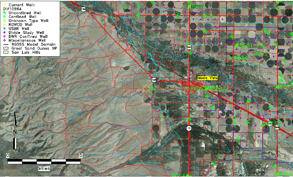
| Common Well ID | DIV10984 |
| USGS Site Use Information | Unknown |
| USGS Groundwater Use Information | Unknown |
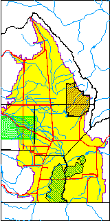
| Data Source(s) | Divide Study |
| Location Data |
|---|
| Longitude/Latitude (NAD83) | -106.20195615 , 37.57458191 |
| Longitude/Latitude Data Source | Divide Study |
| Easting, Northing RGDSS-NAD83 (US ft) | 47061.09 , 211096.77 |
| Elevation and Depth Data |
|---|
| Ground Elevation (ft NAVD88) | 7737.20 |
| Elevation Data Source | Divide study surveying by Davis Engineering |
| 1/3-Arc Second NED Ground Elevation (ft NAVD88) | 7736.88 |
| 1-Arc Second NED Ground Elevation (ft NAVD88) | 7736.20 |
| SRTM Ground Elevation (ft NAVD88) | 7741.30 |
| Model Layer | 1 |
| Model Layer Source | Aquifer Type |
| Depth of Bottom of Layer 1 | 117 |
| Depth of Bottom of Layer 2 | 246 |
| Additional Well Information | NONE |
| Aquifer Information |
|---|
| Aquifer Type | Unconfined |
| Aquifer Type Source | DIV_AQ |
| Water-level Database Information |
|---|
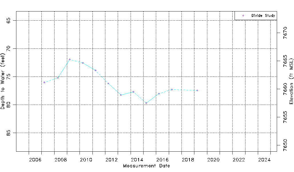
| Water-level Count | 12 |
| Water-level Date Range | 03/21/2007 thru 03/26/2019 |
| Monitored within the last 18 months | No, most recently on 03/26/2019 |
| Depth-to-Water Range (ft) | 71.95 to 79.70 |
| Water Table Elevation Range (ft NAVD88) | 7657.50 to 7665.25 |
| Water-Level-Source:Number-of-Measurements | Divide Study:12 |