| Well Information Table |
|---|
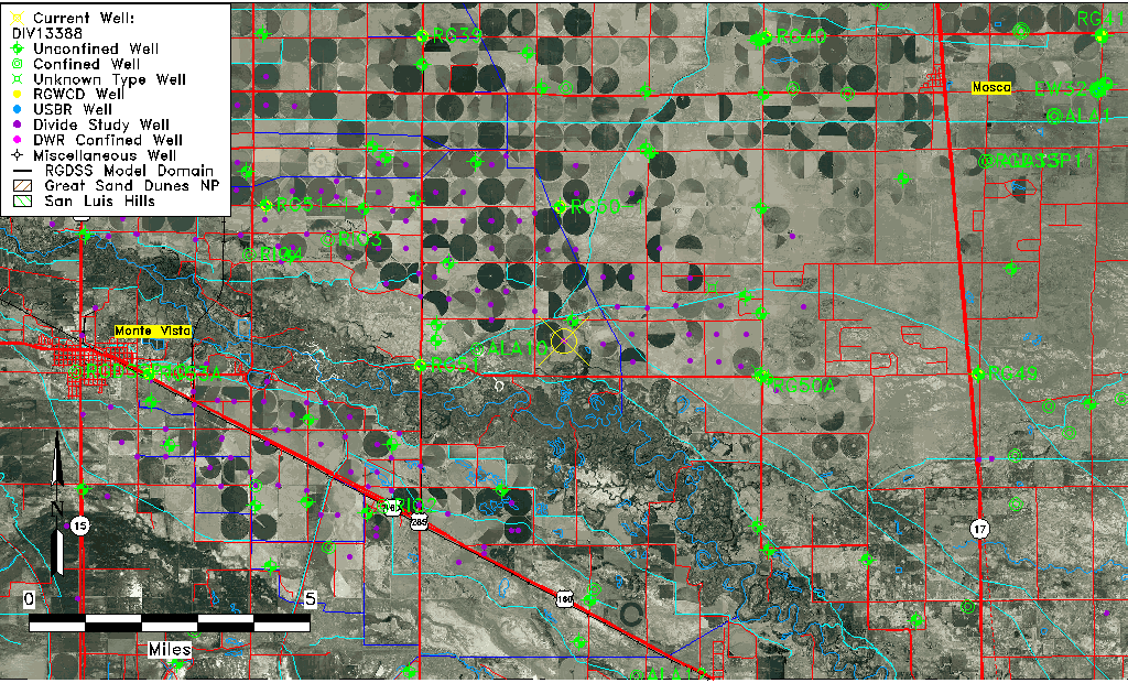
| Common Well ID | DIV13388 |
| USGS Site Use Information | Unknown |
| USGS Groundwater Use Information | Unknown |
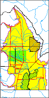
| Data Source(s) | Divide Study |
| Location Data |
|---|
| Longitude/Latitude (NAD83) | -105.99254025 , 37.58332474 |
| Longitude/Latitude Data Source | Divide Study |
| Easting, Northing RGDSS-NAD83 (US ft) | 107747.16 , 214002.87 |
| Elevation and Depth Data |
|---|
| Ground Elevation (ft NAVD88) | 7591.57 |
| Elevation Data Source | Divide study surveying by Davis Engineering |
| 1/3-Arc Second NED Ground Elevation (ft NAVD88) | 7591.46 |
| 1-Arc Second NED Ground Elevation (ft NAVD88) | 7591.36 |
| SRTM Ground Elevation (ft NAVD88) | 7595.25 |
| Model Layer | 1 |
| Model Layer Source | Aquifer Type |
| Depth of Bottom of Layer 1 | 73 |
| Depth of Bottom of Layer 2 | 258 |
| Depth of Bottom of Layer 3 | 747 |
| Depth of Bottom of Layer 4 | 1934 |
| Additional Well Information | NONE |
| Aquifer Information |
|---|
| Aquifer Type | Unconfined |
| Aquifer Type Source | DIV_AQ |
| Water-level Database Information |
|---|
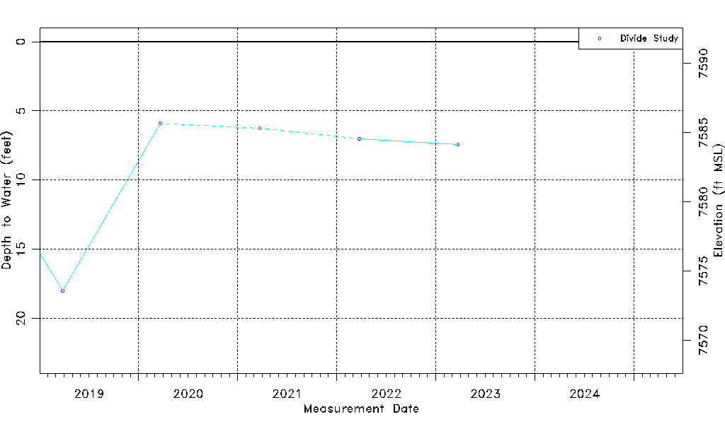
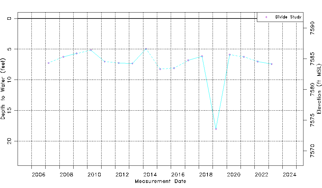
| Water-level Count | 17 |
| Water-level Date Range | 03/20/2007 thru 03/24/2023 |
| Monitored within the last 18 months | No, most recently on 03/24/2023 |
| Depth-to-Water Range (ft) | 4.95 to 18.00 |
| Water Table Elevation Range (ft NAVD88) | 7573.57 to 7586.62 |
| Water-Level-Source:Number-of-Measurements | Divide Study:17 |