| Well Information Table |
|---|
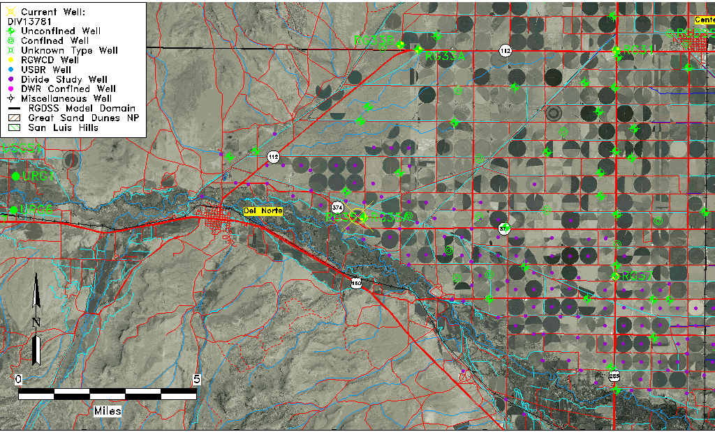
| Common Well ID | DIV13781 |
| USGS Site Use Information | Unknown |
| USGS Groundwater Use Information | Unknown |
| Data Source(s) | Divide Study |
| Location Data |
|---|
| Longitude/Latitude (NAD83) | -106.28074103 , 37.68043147 |
| Longitude/Latitude Data Source | Divide Study |
| Easting, Northing RGDSS-NAD83 (US ft) | 24485.30 , 249769.46 |
| Elevation and Depth Data |
|---|
| Ground Elevation (ft NAVD88) | 7814.95 |
| Elevation Data Source | Divide study surveying by Davis Engineering |
| 1/3-Arc Second NED Ground Elevation (ft NAVD88) | 7813.96 |
| 1-Arc Second NED Ground Elevation (ft NAVD88) | 7813.87 |
| SRTM Ground Elevation (ft NAVD88) | 7828.57 |
| Model Layer | 1 |
| Model Layer Source | Aquifer Type |
| Depth of Bottom of Layer 1 | 76 |
| Depth of Bottom of Layer 2 | 212 |
| Depth of Bottom of Layer 3 | 270 |
| Depth of Bottom of Layer 4 | 311 |
| Additional Well Information | NONE |
| Aquifer Information |
|---|
| Aquifer Type | Unconfined |
| Aquifer Type Source | DIV_AQ |
| Water-level Database Information |
|---|
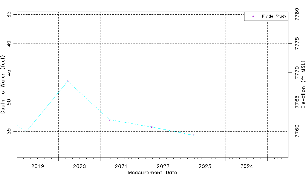
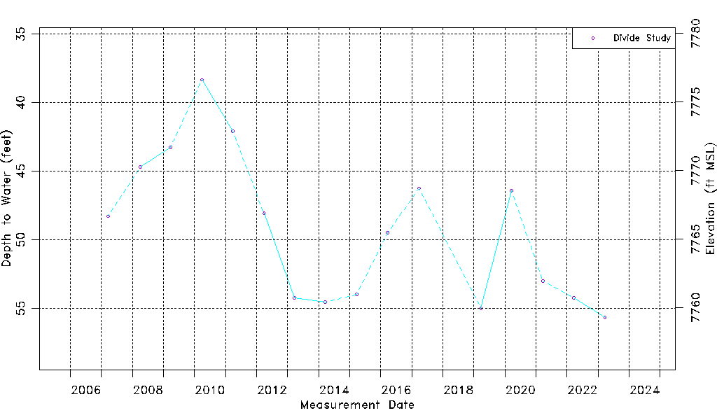
| Water-level Count | 16 |
| Water-level Date Range | 03/20/2007 thru 03/24/2023 |
| Monitored within the last 18 months | No, most recently on 03/24/2023 |
| Depth-to-Water Range (ft) | 38.33 to 55.67 |
| Water Table Elevation Range (ft NAVD88) | 7759.28 to 7776.62 |
| Water-Level-Source:Number-of-Measurements | Divide Study:16 |