| Well Information Table |
|---|
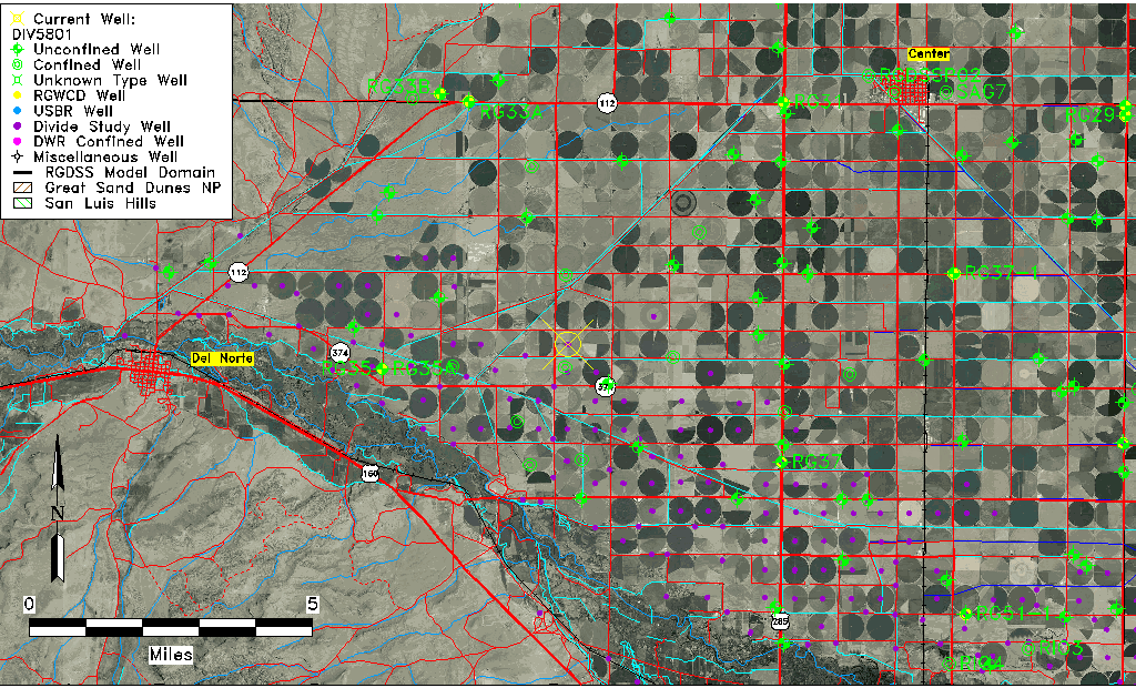
| Common Well ID | DIV5801 |
| USGS Site Use Information | Unknown |
| USGS Groundwater Use Information | Unknown |
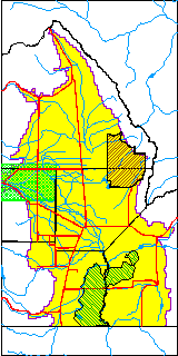
| Data Source(s) | Divide Study |
| Location Data |
|---|
| Longitude/Latitude (NAD83) | -106.21773494 , 37.68646405 |
| Longitude/Latitude Data Source | Divide Study |
| Easting, Northing RGDSS-NAD83 (US ft) | 42727.85 , 251852.42 |
| Elevation and Depth Data |
|---|
| Ground Elevation (ft NAVD88) | 7744.86 |
| Elevation Data Source | Divide study surveying by Davis Engineering |
| 1/3-Arc Second NED Ground Elevation (ft NAVD88) | 7744.15 |
| 1-Arc Second NED Ground Elevation (ft NAVD88) | 7743.93 |
| SRTM Ground Elevation (ft NAVD88) | 7750.23 |
| Model Layer | 1 |
| Model Layer Source | Aquifer Type |
| Depth of Bottom of Layer 1 | 75 |
| Depth of Bottom of Layer 2 | 192 |
| Depth of Bottom of Layer 3 | 290 |
| Depth of Bottom of Layer 4 | 1053 |
| Additional Well Information | NONE |
| Aquifer Information |
|---|
| Aquifer Type | Unconfined |
| Aquifer Type Source | DIV_AQ |
| Water-level Database Information |
|---|
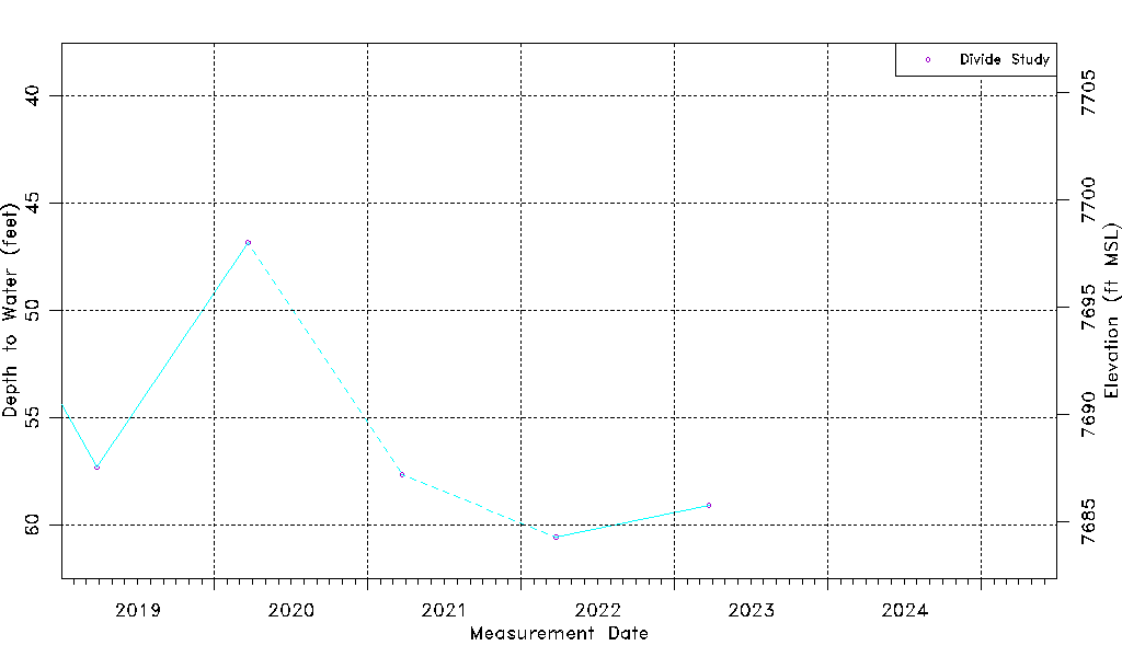
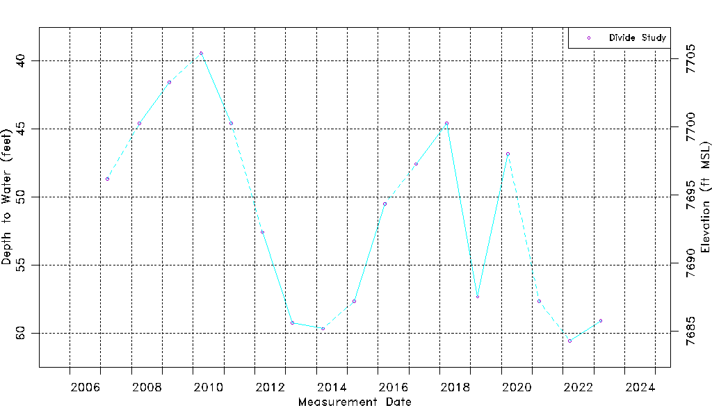
| Water-level Count | 17 |
| Water-level Date Range | 03/20/2007 thru 03/24/2023 |
| Monitored within the last 18 months | No, most recently on 03/24/2023 |
| Depth-to-Water Range (ft) | 39.45 to 60.58 |
| Water Table Elevation Range (ft NAVD88) | 7684.28 to 7705.41 |
| Water-Level-Source:Number-of-Measurements | Divide Study:17 |