| Well Information Table |
|---|
| Common Well ID | DUN84t |
| GSDNP Well Name | 84t |
| USGS Site Use Information | Unknown |
| USGS Groundwater Use Information | Unknown |
| Data Source(s) | HRS |
| Location Data |
|---|
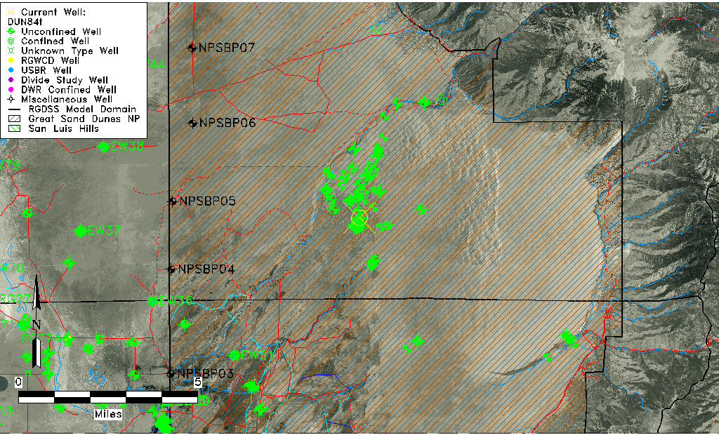
| Longitude/Latitude (NAD83) | -105.63123340 , 37.78497213 |
| Longitude/Latitude Data Source | HRS Dunes database |
| Easting, Northing RGDSS-NAD83 (US ft) | 212385.25 , 287245.27 |
| Elevation and Depth Data |
|---|
| Ground Elevation (ft NAVD88) | 7695.24 |
| Elevation Data Source | HRS Dunes database |
| HRS Dunes Well database (ft NGVD29) | 7691.00000 |
| 1/3-Arc Second NED Ground Elevation (ft NAVD88) | 7701.57 |
| 1-Arc Second NED Ground Elevation (ft NAVD88) | 7705.79 |
| SRTM Ground Elevation (ft NAVD88) | 7706.39 |
| Model Layer | 1 |
| Model Layer Source | Aquifer Type |
| Depth of Bottom of Layer 1 | 253 |
| Depth of Bottom of Layer 2 | 642 |
| Depth of Bottom of Layer 3 | 1246 |
| Depth of Bottom of Layer 4 | 2404 |
| Additional Well Information | NONE |
| Aquifer Information |
|---|
| Aquifer Type | Unconfined |
| Aquifer Type Source | HRS_AQUIFER |
| Water-level Database Information |
|---|
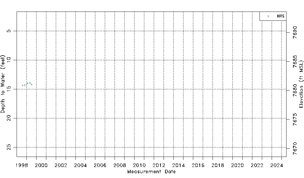
| Water-level Count | 5 |
| Water-level Date Range | 08/14/1998 thru 07/15/1999 |
| Monitored within the last 18 months | No, most recently on 07/15/1999 |
| Depth-to-Water Range (ft) | 13.94 to 14.37 |
| Water Table Elevation Range (ft NAVD88) | 7680.87 to 7681.30 |
| Water-Level-Source:Number-of-Measurements | HRS:5 |