| Well Information Table |
|---|
| Common Well ID | DUNECTW1 |
| GSDNP Well Name | ECTW-1 |
| USGS Site Use Information | Unknown |
| USGS Groundwater Use Information | Unknown |
| Data Source(s) | HRS |
| Location Data |
|---|
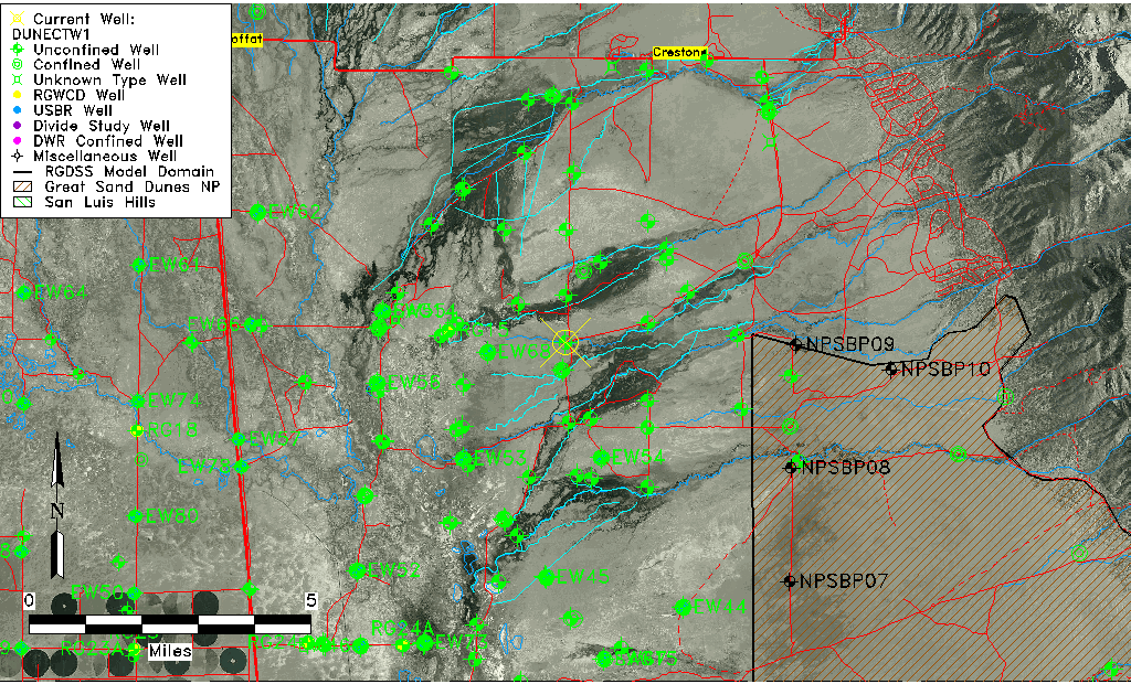
| Longitude/Latitude (NAD83) | -105.78924230 , 37.91507300 |
| Longitude/Latitude Data Source | BACA wells reported by Halepaska |
| Halapaska & Assoc. Easting/Northing (CO-S) | 1916722.00000000 , 454689.000000000 |
| Easting, Northing RGDSS-NAD83 (US ft) | 166799.27 , 334627.13 |
| Elevation and Depth Data |
|---|
| Ground Elevation (ft NAVD88) | 7565.12 |
| Elevation Data Source | BACA well (HRS from topo) |
| BACA Well database (HRS, ft NGVD29) | 7561 |
| HRS Dunes Well database (ft NGVD29) | 7561.00000 |
| 1/3-Arc Second NED Ground Elevation (ft NAVD88) | 7564.39 |
| 1-Arc Second NED Ground Elevation (ft NAVD88) | 7568.26 |
| SRTM Ground Elevation (ft NAVD88) | 7574.86 |
| Total Depth (ft) | 6.50 |
| Model Layer | 1 |
| Model Layer Source | Dunes Layer |
| Depth of Bottom of Layer 1 | 194 |
| Depth of Bottom of Layer 2 | 431 |
| Depth of Bottom of Layer 3 | 1666 |
| Depth of Bottom of Layer 4 | 4435 |
| Additional Well Information | NONE |
| Aquifer Information |
|---|
| Aquifer Type | Unconfined |
| Aquifer Type Source | HRS_AQUIFER |
| Water-level Database Information |
|---|
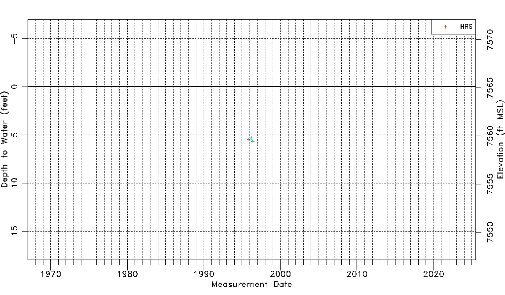
| Water-level Count | 3 |
| Water-level Date Range | 11/06/1995 thru 05/19/1996 |
| Monitored within the last 18 months | No, most recently on 05/19/1996 |
| Depth-to-Water Range (ft) | 5.31 to 5.66 |
| Water Table Elevation Range (ft NAVD88) | 7559.46 to 7559.81 |
| Water-Level-Source:Number-of-Measurements | HRS:3 |