| Well Information Table |
|---|
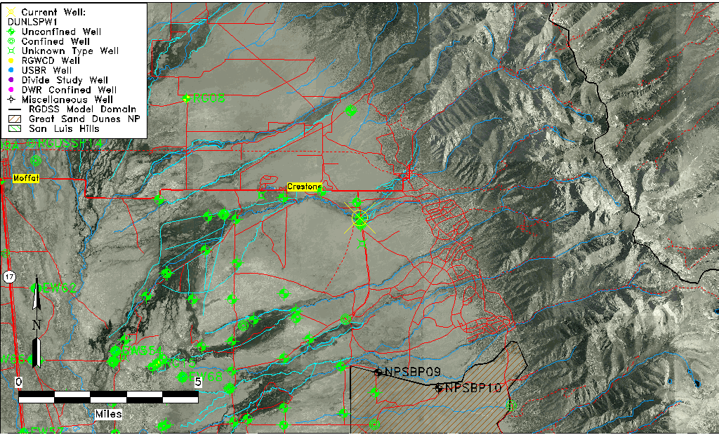
| Common Well ID | DUNLSPW1 |
| GSDNP Well Name | LSPW-1 |
| USGS Site Use Information | Unknown |
| USGS Groundwater Use Information | Unknown |
| Data Source(s) | HRS |
| Location Data |
|---|
| Longitude/Latitude (NAD83) | -105.72402300 , 37.97707163 |
| Longitude/Latitude Data Source | BACA wells reported by Halepaska |
| Halapaska & Assoc. Easting/Northing (CO-S) | 1935590.00000000 , 477213.000000000 |
| Easting, Northing RGDSS-NAD83 (US ft) | 185622.89 , 357177.82 |
| Elevation and Depth Data |
|---|
| Ground Elevation (ft NAVD88) | 7689.75 |
| Elevation Data Source | NED3 data |
| 1/3-Arc Second NED Ground Elevation (ft NAVD88) | 7689.75 |
| 1-Arc Second NED Ground Elevation (ft NAVD88) | 7693.82 |
| SRTM Ground Elevation (ft NAVD88) | 7699.13 |
| Total Depth (ft) | 8.20 |
| Model Layer | 1 |
| Model Layer Source | Aquifer Type |
| Depth of Bottom of Layer 1 | 239 |
| Depth of Bottom of Layer 2 | 492 |
| Depth of Bottom of Layer 3 | 1092 |
| Depth of Bottom of Layer 4 | 2156 |
| Additional Well Information | NONE |
| Aquifer Information |
|---|
| Aquifer Type | Unconfined |
| Aquifer Type Source | HRS_AQUIFER |
| Water-level Database Information |
|---|
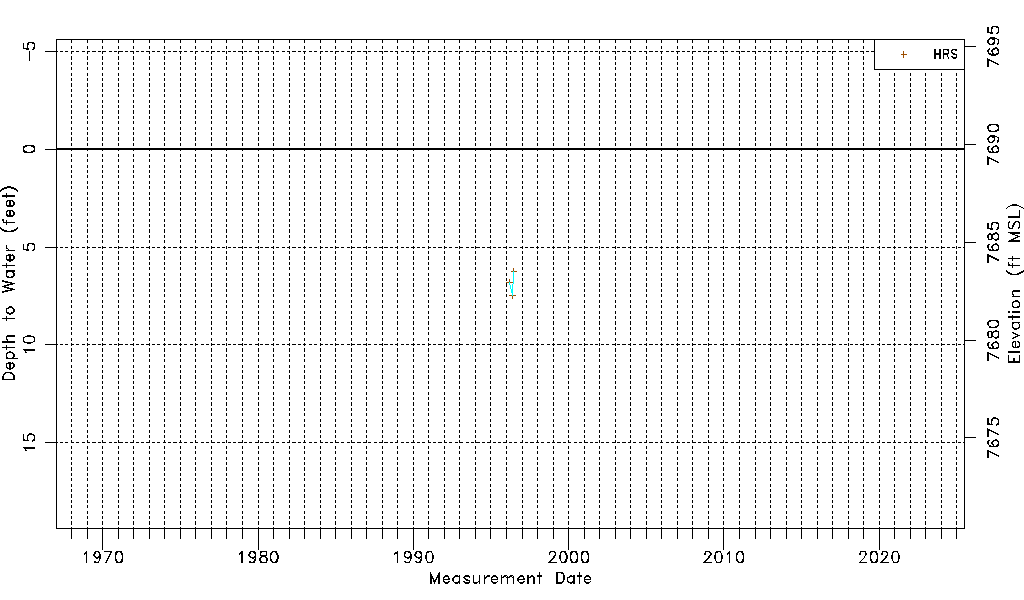
| Water-level Count | 3 |
| Water-level Date Range | 03/14/1996 thru 06/24/1996 |
| Monitored within the last 18 months | No, most recently on 06/24/1996 |
| Depth-to-Water Range (ft) | 6.25 to 7.50 |
| Water Table Elevation Range (ft NAVD88) | 7682.25 to 7683.50 |
| Water-Level-Source:Number-of-Measurements | HRS:3 |