| Well Information Table |
|---|
| Common Well ID | DUNLSPW2 |
| GSDNP Well Name | LSPW-2 |
| USGS Site Use Information | Unknown |
| USGS Groundwater Use Information | Unknown |
| Data Source(s) | HRS |
| Location Data |
|---|
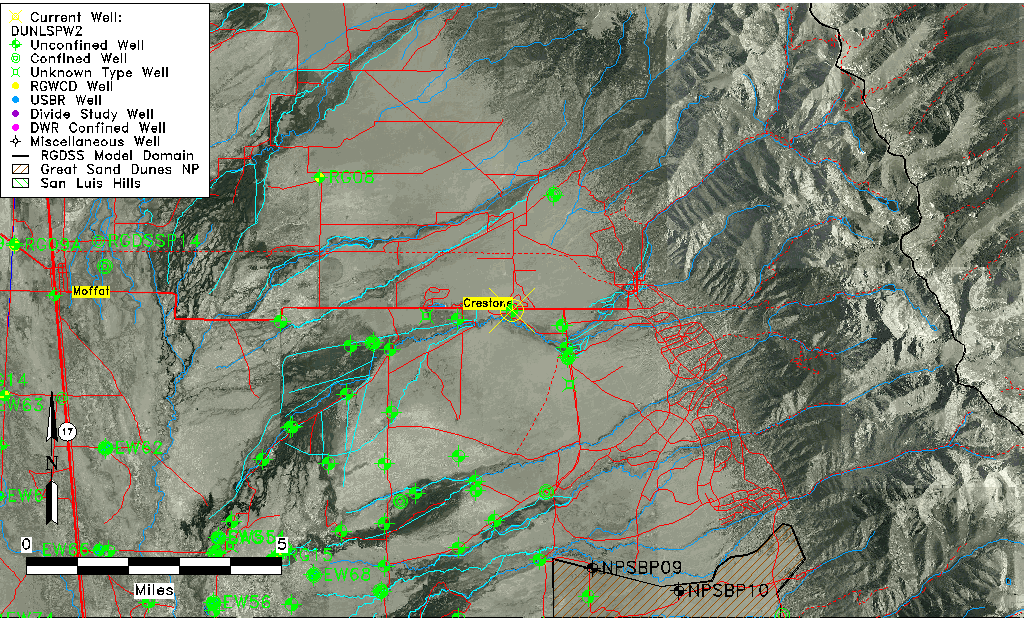
| Longitude/Latitude (NAD83) | -105.74350330 , 37.98766102 |
| Longitude/Latitude Data Source | BACA wells reported by Halepaska |
| Halapaska & Assoc. Easting/Northing (CO-S) | 1929985.00000000 , 481083.000000000 |
| Easting, Northing RGDSS-NAD83 (US ft) | 180012.92 , 361036.97 |
| Elevation and Depth Data |
|---|
| Ground Elevation (ft NAVD88) | 7664.59 |
| Elevation Data Source | NED3 data |
| 1/3-Arc Second NED Ground Elevation (ft NAVD88) | 7664.59 |
| 1-Arc Second NED Ground Elevation (ft NAVD88) | 7664.39 |
| SRTM Ground Elevation (ft NAVD88) | 7671.34 |
| Total Depth (ft) | 8.50 |
| Model Layer | 1 |
| Model Layer Source | Aquifer Type |
| Depth of Bottom of Layer 1 | 212 |
| Depth of Bottom of Layer 2 | 441 |
| Depth of Bottom of Layer 3 | 1161 |
| Depth of Bottom of Layer 4 | 2431 |
| Additional Well Information | NONE |
| Aquifer Information |
|---|
| Aquifer Type | Unconfined |
| Aquifer Type Source | HRS_AQUIFER |
| Water-level Database Information |
|---|
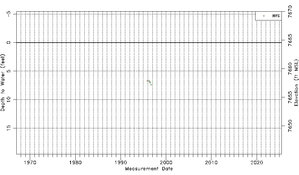
| Water-level Count | 5 |
| Water-level Date Range | 11/05/1995 thru 09/19/1996 |
| Monitored within the last 18 months | No, most recently on 09/19/1996 |
| Depth-to-Water Range (ft) | 6.68 to 7.40 |
| Water Table Elevation Range (ft NAVD88) | 7657.19 to 7657.91 |
| Water-Level-Source:Number-of-Measurements | HRS:5 |