| Well Information Table |
|---|
| Common Well ID | DUNWELL_MS |
| GSDNP Well Name | WELL_MS |
| USGS Site Use Information | Unknown |
| USGS Groundwater Use Information | Unknown |
| Data Source(s) | HRS |
| Location Data |
|---|
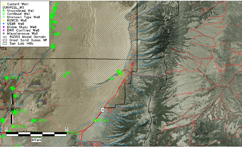
| Longitude/Latitude (NAD83) | -105.52202956 , 37.73419215 |
| Longitude/Latitude Data Source | Davis Engineering Survey |
| Easting, Northing RGDSS-NAD83 (US ft) | 243962.38 , 268791.03 |
| Elevation and Depth Data |
|---|
| Ground Elevation (ft NAVD88) | 8032.54 |
| Elevation Data Source | Davis Engineering Survey |
| GRSA Dunes Well database (ft NGVD29) | 8020.01 |
| 1/3-Arc Second NED Ground Elevation (ft NAVD88) | 8023.41 |
| 1-Arc Second NED Ground Elevation (ft NAVD88) | 8025.99 |
| SRTM Ground Elevation (ft NAVD88) | 8031.68 |
| Total Depth (ft) | 12.00 |
| Depth to Top of Screen (ft) | 7.0 |
| Depth to Bottom of Screen (ft) | 12.00 |
| Model Layer | 1 |
| Model Layer Source | Aquifer Type |
| Depth of Bottom of Layer 1 | 511 |
| Depth of Bottom of Layer 2 | 982 |
| Depth of Bottom of Layer 3 | 1130 |
| Additional Well Information | NONE |
| Aquifer Information |
|---|
| Aquifer Type | Unconfined |
| Aquifer Type Source | GRSA_AQUFR |
| Water-level Database Information |
|---|
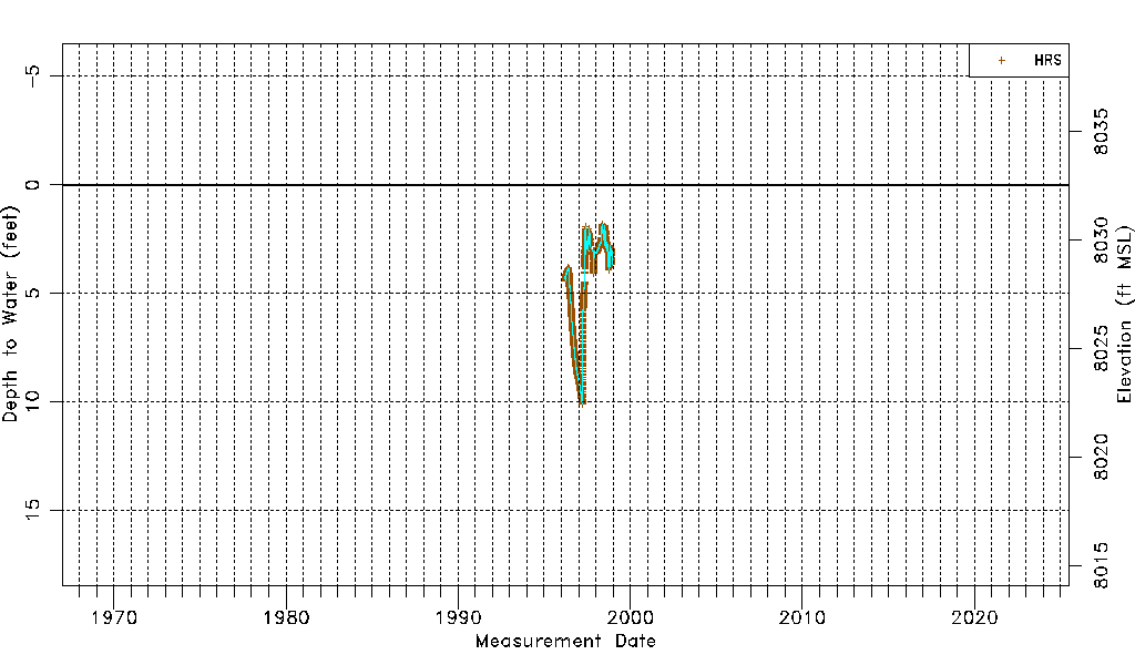
| Water-level Count | 4570 |
| Water-level Date Range | 03/21/1996 thru 12/10/1998 |
| Monitored within the last 18 months | No, most recently on 12/10/1998 |
| Depth-to-Water Range (ft) | 1.83 to 10.11 |
| Water Table Elevation Range (ft NAVD88) | 8022.43 to 8030.71 |
| Water-Level-Source:Number-of-Measurements | HRS:4570 |