| Well Information Table |
|---|
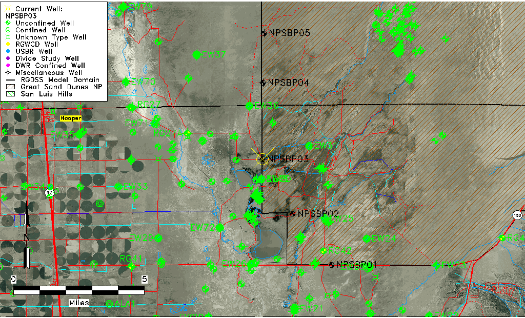
| Common Well ID | NPSBP03 |
| USGS Site Use Information | Unknown |
| USGS Groundwater Use Information | Unknown |
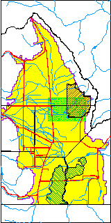
| Data Source(s) | GSDNP Boundary |
| Location Data |
|---|
| Longitude/Latitude (NAD83) | -105.72742618 , 37.72182830 |
| Longitude/Latitude Data Source | NPS Sand Dunes database |
| Easting, Northing RGDSS-NAD83 (US ft) | 184580.17 , 264263.72 |
| Elevation and Depth Data |
|---|
| Ground Elevation (ft NAVD88) | 7535.28 |
| Elevation Data Source | NPS Sand Dunes database |
| 1/3-Arc Second NED Ground Elevation (ft NAVD88) | 7534.55 |
| 1-Arc Second NED Ground Elevation (ft NAVD88) | 7535.39 |
| SRTM Ground Elevation (ft NAVD88) | 7539.37 |
| Total Depth (ft) | 79.00 |
| Depth to Top of Screen (ft) | 29.0 |
| Depth to Bottom of Screen (ft) | 79.00 |
| Model Layer | 1 |
| Model Layer Source | Aquifer Type |
| Depth of Bottom of Layer 1 | 131 |
| Depth of Bottom of Layer 2 | 424 |
| Depth of Bottom of Layer 3 | 1596 |
| Depth of Bottom of Layer 4 | 3321 |
| Additional Well Information | NONE |
| Aquifer Information |
|---|
| Aquifer Type | Unconfined |
| Aquifer Type Source | NPS_AQFR |
| Water-level Database Information |
|---|
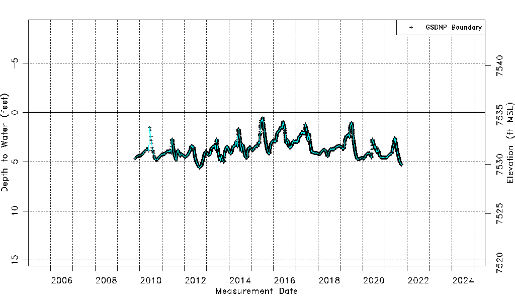
| Water-level Count | 4203 |
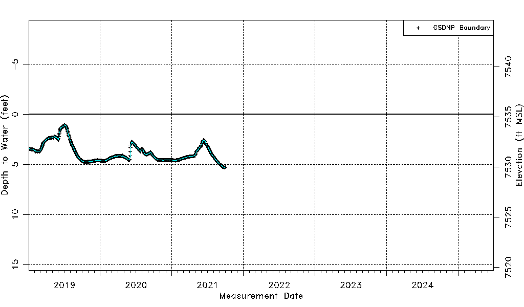
| Water-level Date Range | 10/15/2009 thru 09/30/2021 |
| Monitored within the last 18 months | No, most recently on 09/30/2021 |
| Depth-to-Water Range (ft) | 0.54 to 5.63 |
| Water Table Elevation Range (ft NAVD88) | 7529.65 to 7534.74 |
| Water-Level-Source:Number-of-Measurements | GSDNP Boundary:4203 |