| Well Information Table |
|---|
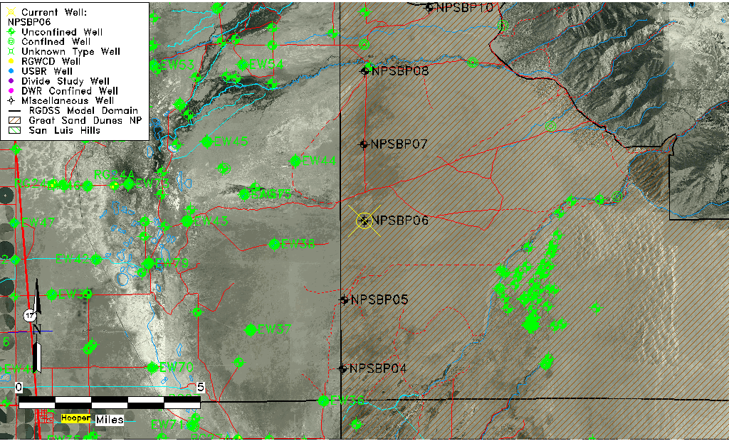
| Common Well ID | NPSBP06 |
| USGS Site Use Information | Unknown |
| USGS Groundwater Use Information | Unknown |
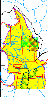
| Data Source(s) | GSDNP Boundary |
| Location Data |
|---|
| Longitude/Latitude (NAD83) | -105.71620531 , 37.82318591 |
| Longitude/Latitude Data Source | NPS Sand Dunes database |
| Easting, Northing RGDSS-NAD83 (US ft) | 187844.38 , 301157.91 |
| Elevation and Depth Data |
|---|
| Ground Elevation (ft NAVD88) | 7628.49 |
| Elevation Data Source | NPS Sand Dunes database |
| 1/3-Arc Second NED Ground Elevation (ft NAVD88) | 7633.80 |
| 1-Arc Second NED Ground Elevation (ft NAVD88) | 7629.74 |
| SRTM Ground Elevation (ft NAVD88) | 7625.69 |
| Total Depth (ft) | 395.00 |
| Depth to Top of Screen (ft) | 15.0 |
| Depth to Bottom of Screen (ft) | 395.00 |
| Model Layer | 1 |
| Model Layer Source | Aquifer Type |
| Depth of Bottom of Layer 1 | 184 |
| Depth of Bottom of Layer 2 | 517 |
| Depth of Bottom of Layer 3 | 1555 |
| Depth of Bottom of Layer 4 | 3480 |
| Additional Well Information | NONE |
| Aquifer Information |
|---|
| Aquifer Type | Unconfined |
| Aquifer Type Source | NPS_AQFR |
| Water-level Database Information |
|---|
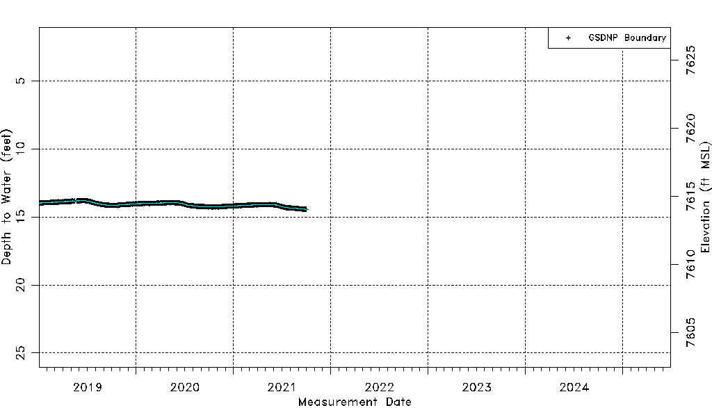
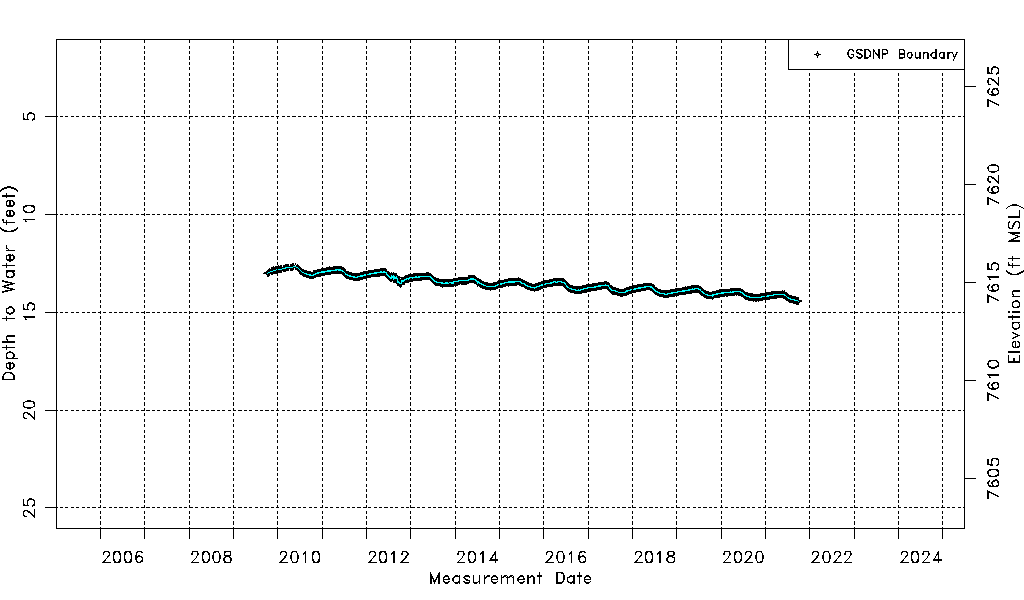
| Water-level Count | 4184 |
| Water-level Date Range | 10/06/2009 thru 09/30/2021 |
| Monitored within the last 18 months | No, most recently on 09/30/2021 |
| Depth-to-Water Range (ft) | 12.66 to 14.44 |
| Water Table Elevation Range (ft NAVD88) | 7614.05 to 7615.83 |
| Water-Level-Source:Number-of-Measurements | GSDNP Boundary:4184 |