| Well Information Table |
|---|
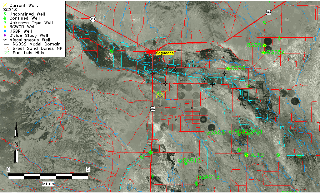
| Common Well ID | SCS18 |
| USGS Site Use Information | Unknown |
| USGS Groundwater Use Information | Unknown |
| Data Source(s) | DWR, Saguache Creek |
| Location Data |
|---|
| Longitude/Latitude (NAD83) | -106.13325275 , 38.04651790 |
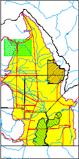
| Longitude/Latitude Data Source | Saguach Ck Survey |
| Easting, Northing RGDSS-NAD83 (US ft) | 67826.88 , 382796.43 |
| Elevation and Depth Data |
|---|
| Ground Elevation (ft NAVD88) | 7672.95 |
| Elevation Data Source | NED3 data |
| 1/3-Arc Second NED Ground Elevation (ft NAVD88) | 7672.95 |
| 1-Arc Second NED Ground Elevation (ft NAVD88) | 7672.70 |
| SRTM Ground Elevation (ft NAVD88) | 7675.70 |
| Model Layer | 1 |
| Model Layer Source | Saguache Layer |
| Depth of Bottom of Layer 1 | 83 |
| Depth of Bottom of Layer 2 | 172 |
| Depth of Bottom of Layer 3 | 274 |
| Depth of Bottom of Layer 4 | 388 |
| Additional Well Information | NONE |
| Aquifer Information |
|---|
| Aquifer Type | Unconfined |
| Aquifer Type Source | TD Elevation/Model Layer |
| Water-level Database Information |
|---|
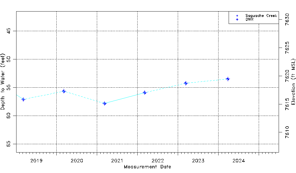
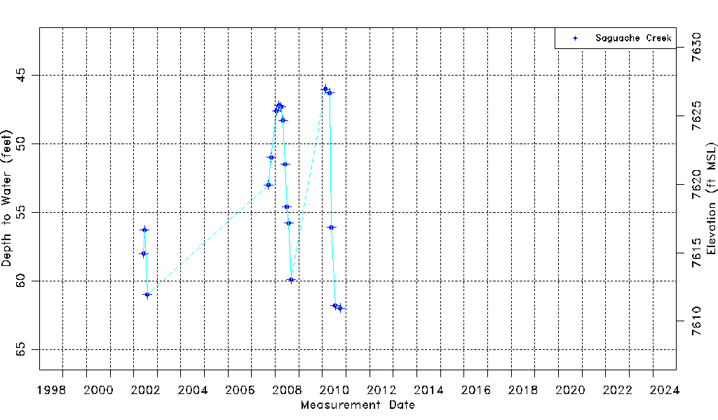
| Water-level Count | 28 |
| Water-level Date Range | 06/05/2002 thru 03/26/2024 |
| Monitored within the last 18 months | No, most recently on 03/26/2024 |
| Depth-to-Water Range (ft) | 46.00 to 62.00 |
| Water Table Elevation Range (ft NAVD88) | 7610.95 to 7626.95 |
| Water-Level-Source:Number-of-Measurements | Saguache Creek:18 DWR:10 |