| Well Information Table |
|---|
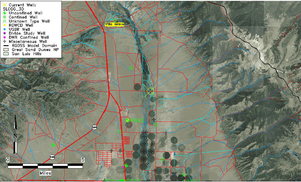
| Common Well ID | SLCGG_3D |
| USGS Site Use Information | Unknown |
| USGS Groundwater Use Information | Unknown |
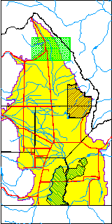
| Data Source(s) | San Luis Creek |
| Location Data |
|---|
| Longitude/Latitude (NAD83) | -105.88908000 , 38.18782800 |
| Longitude/Latitude Data Source | AdHoc wells from San Luis Ck (SLC) |
| Easting, Northing RGDSS-NAD83 (US ft) | 138248.72 , 433976.22 |
| Elevation and Depth Data |
|---|
| Ground Elevation (ft NAVD88) | 7758.65 |
| Elevation Data Source | RIDGELINE 20120817 |
| 1/3-Arc Second NED Ground Elevation (ft NAVD88) | 7758.65 |
| 1-Arc Second NED Ground Elevation (ft NAVD88) | 7753.11 |
| SRTM Ground Elevation (ft NAVD88) | 7757.52 |
| Total Depth (ft) | 25.00 |
| Depth to Top of Screen (ft) | 20.0 |
| Depth to Bottom of Screen (ft) | 25.00 |
| Model Layer | 1 |
| Model Layer Source | Well Depth |
| Depth of Bottom of Layer 1 | 63 |
| Depth of Bottom of Layer 2 | 89 |
| Depth of Bottom of Layer 3 | 297 |
| Depth of Bottom of Layer 4 | 2880 |
| Additional Well Information | NONE |
| Aquifer Information |
|---|
| Aquifer Type | Unconfined |
| Aquifer Type Source | TD Elevation/Model Layer |
| Water-level Database Information |
|---|
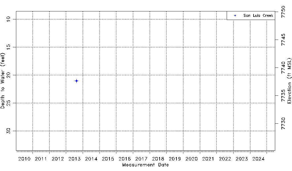
| Water-level Count | 1 |
| Water-level Date Range | 08/16/2013 thru 08/16/2013 |
| Monitored within the last 18 months | No, most recently on 08/16/2013 |
| Depth-to-Water Range (ft) | 21.02 to 21.02 |
| Water Table Elevation Range (ft NAVD88) | 7737.63 to 7737.63 |
| Water-Level-Source:Number-of-Measurements | San Luis Creek:1 |