| Well Information Table |
|---|
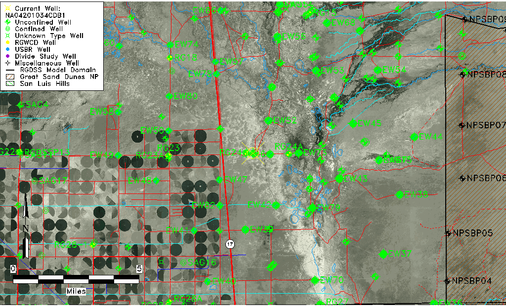
| Common Well ID | NA04201034CDB1 |
| USGS Well ID | 375015105520201 |
| USGS Station Name | NA04201034CDB1 |
| USGS Construction Date | 03/01/1978 |
| USGS Site Type | Well |
| USGS Site Use Information | Destroyed |
| USGS Groundwater Use Information | Unused |
| Data Source(s) | USGS |
| Location Data |
|---|
| TRS | NA04201034CDB1 |
| USGS TRS 1 | NA04201034CDB1 |
| Longitude/Latitude (NAD83) | -105.86779650 , 37.83749950 |
| Longitude/Latitude Data Source | GWSI decimal LAT/LONG field |
| USGS Longitude/Latitude (NAD83) | -105.8677965 , 37.83749950 |
| Easting, Northing RGDSS-NAD83 (US ft) | 144082.86 , 306427.79 |
| USGS Topography | Valley flat |
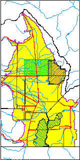
| USGS County | Saguache County |
| USGS Map Name | DEADMAN CAMP |
| USGS Map Scale | 24000 |
| Elevation and Depth Data |
|---|
| Ground Elevation (ft NAVD88) | 7538.84000000000 |
| Elevation Data Source | USGS GWSI database |
| USGS Ground Elevation (ft NGVD29) | 7535.00 |
| 1/3-Arc Second NED Ground Elevation (ft NAVD88) | 7538.96 |
| 1-Arc Second NED Ground Elevation (ft NAVD88) | 7539.53 |
| SRTM Ground Elevation (ft NAVD88) | 7532.59 |
| USGS Hole Depth (ft) | 200.00 |
| Depth of Bottom of Layer 1 | 94 |
| Depth of Bottom of Layer 2 | 242 |
| Depth of Bottom of Layer 3 | 1397 |
| Depth of Bottom of Layer 4 | 3782 |
| Additional Well Information | NONE |
| Aquifer Information |
|---|
| Aquifer Type | Unknown |
| Aquifer Type Source | None |
| USGS Hydrologic Unit | San Luis |
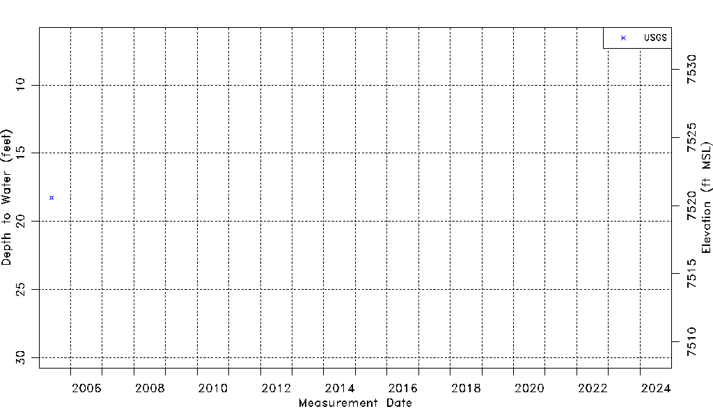
| USGS Data Available | Water-level (GW.LEV) |
| Water-level Database Information |
|---|
| Water-level Count | 1 |
| Water-level Date Range | 05/26/2005 thru 05/26/2005 |
| Monitored within the last 18 months | No, most recently on 05/26/2005 |
| Depth-to-Water Range (ft) | 18.26 to 18.26 |
| Water Table Elevation Range (ft NAVD88) | 7520.58 to 7520.58 |
| Water-Level-Source:Number-of-Measurements | USGSaguache Creek:1 |