| Well Information Table |
|---|
| Common Well ID | NA04201034CDB2 |
| USGS Well ID | 375015105520202 |
| GSDNP Well Name | 375015105520202 |
| USGS Station Name | NA04201034CDB2 |
| USGS Construction Date | 03/01/1978 |
| USGS Site Type | Well |
| USGS Site Use Information | Observation |
| USGS Groundwater Use Information | Unused |
| Data Source(s) | USGS |
| Location Data |
|---|
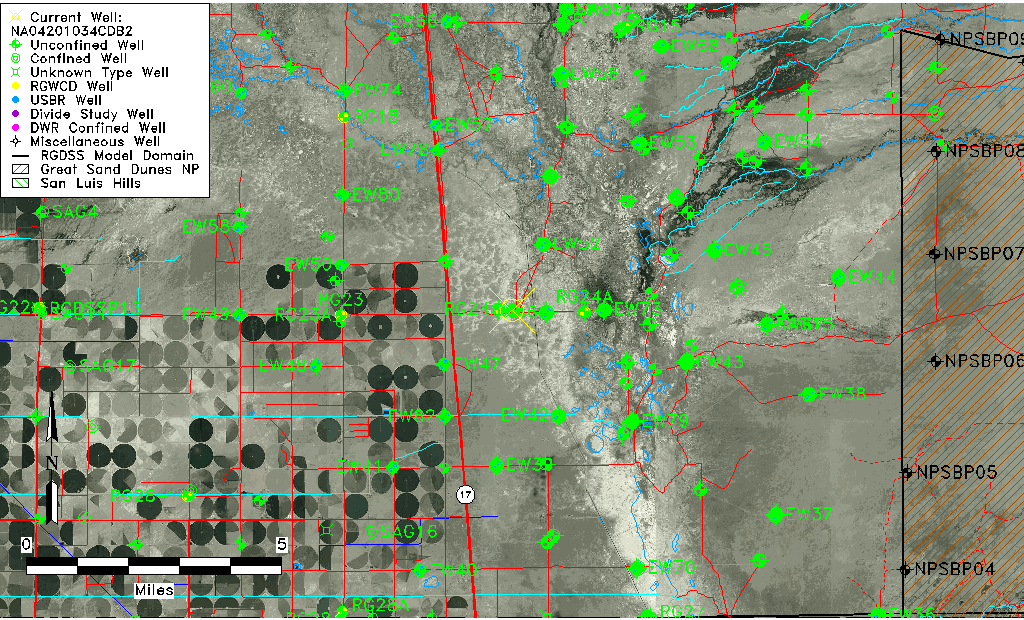
| TRS | NA04201034CDB2 |
| USGS TRS 1 | NA04201034CDB2 |
| USGS TRS | NWSESWS034T0040NR0010EN |
| Longitude/Latitude (NAD83) | -105.86779650 , 37.83749950 |
| Longitude/Latitude Data Source | GWSI decimal LAT/LONG field |
| USGS Longitude/Latitude (NAD83) | -105.8677965 , 37.83749950 |
| Easting, Northing RGDSS-NAD83 (US ft) | 144082.86 , 306427.79 |
| USGS Topography | Valley flat |
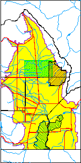
| USGS County | Saguache County |
| USGS Map Name | DEADMAN CAMP |
| USGS Map Scale | 24000 |
| Elevation and Depth Data |
|---|
| Ground Elevation (ft NAVD88) | 7539.44000000000 |
| Elevation Data Source | USGS GWSI database |
| USGS Ground Elevation (ft NGVD29) | 7535.60 |
| 1/3-Arc Second NED Ground Elevation (ft NAVD88) | 7538.96 |
| 1-Arc Second NED Ground Elevation (ft NAVD88) | 7539.53 |
| SRTM Ground Elevation (ft NAVD88) | 7532.59 |
| Total Depth (ft) | 6.23 |
| USGS Hole Depth (ft) | 6.23 |
| USGS Well Depth (ft) | 6.23 |
| Model Layer | 1 |
| Model Layer Source | Well Depth |
| Depth of Bottom of Layer 1 | 94 |
| Depth of Bottom of Layer 2 | 243 |
| Depth of Bottom of Layer 3 | 1397 |
| Depth of Bottom of Layer 4 | 3783 |
| Additional Well Information | Construction |
| Aquifer Information |
|---|
| Aquifer Type | Unconfined |
| Aquifer Type Source | TD Elevation/Model Layer |
| USGS Primary Aquifer | Tertiary System |
| USGS Aquifer Type | Unconfined Single Aquifer |
| USGS Hydrologic Unit | San Luis |
| USGS Data Available | Miscellaneous (GW.MISC) |
| Water-level Database Information |
|---|
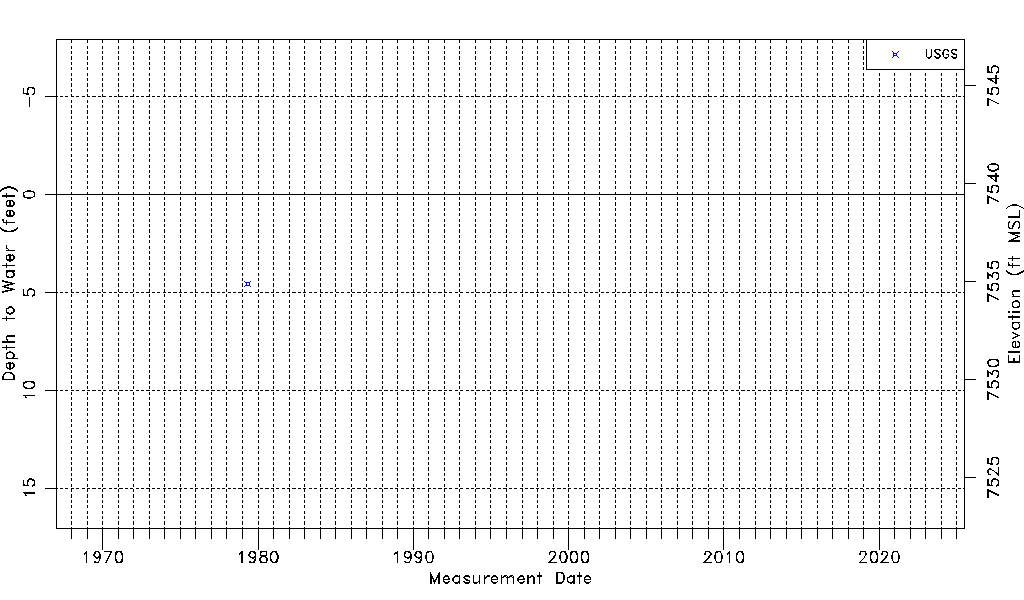
| Water-level Count | 1 |
| Water-level Date Range | 05/03/1979 thru 05/03/1979 |
| Monitored within the last 18 months | No, most recently on 05/03/1979 |
| Depth-to-Water Range (ft) | 4.56 to 4.56 |
| Water Table Elevation Range (ft NAVD88) | 7534.88 to 7534.88 |
| Water-Level-Source:Number-of-Measurements | USGSaguache Creek:1 |