| Well Information Table |
|---|
| Common Well ID | CB00207212ADC |
| USGS Well ID | 370845105235401 |
| USGS Station Name | CB00207212ADC |
| USGS Construction Date | 01/01/1966 |
| USGS Site Type | Well |
| USGS Site Use Information | Observation |
| USGS Groundwater Use Information | Unused |
| Data Source(s) | USGS |
| Location Data |
|---|
| TRS | CB00207212ADC |
| USGS TRS 1 | CB00207212ADC |
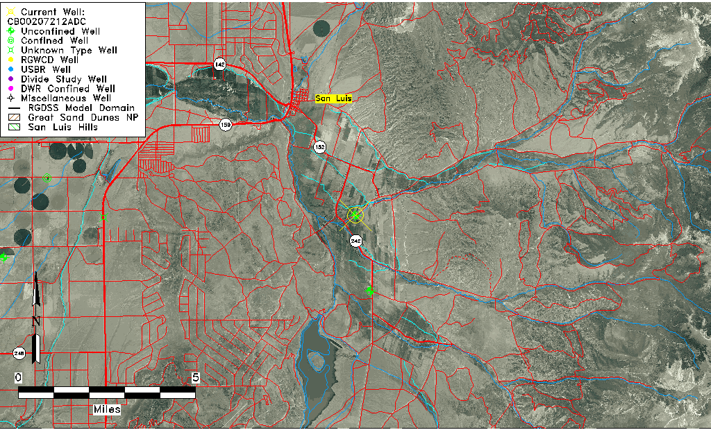
| USGS TRS | SWSENES012T0002NR0072WC |
| Longitude/Latitude (NAD83) | -105.39251110 , 37.15446130 |
| Longitude/Latitude Data Source | GWSI decimal LAT/LONG field |
| USGS Longitude/Latitude (NAD83) | -105.392511100 , 37.154461300 |
| Easting, Northing RGDSS-NAD83 (US ft) | 282028.85 , 57861.66 |
| USGS Topography | Valley flat |
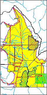
| USGS County | Costilla County |
| USGS Map Name | SAN LUIS |
| USGS Map Scale | 24000 |
| Elevation and Depth Data |
|---|
| Ground Elevation (ft NAVD88) | 8073.34 |
| Elevation Data Source | USGS GWSI database |
| USGS Ground Elevation (ft NGVD29) | 8069.00 |
| 1/3-Arc Second NED Ground Elevation (ft NAVD88) | 8104.20 |
| 1-Arc Second NED Ground Elevation (ft NAVD88) | 8104.12 |
| SRTM Ground Elevation (ft NAVD88) | 8103.29 |
| Total Depth (ft) | 13.00 |
| USGS Well Depth (ft) | 13.00 |
| Model Layer | 1 |
| Model Layer Source | Well Depth |
| Depth of Bottom of Layer 1 | 273 |
| Depth of Bottom of Layer 2 | 473 |
| Depth of Bottom of Layer 3 | 524 |
| Depth of Bottom of Layer 4 | 575 |
| Additional Well Information | Geohydrology, Construction |
| Aquifer Information |
|---|
| Aquifer Type | Unconfined |
| Aquifer Type Source | TD Elevation/Model Layer |
| USGS Primary Aquifer | Cenozoic Erathem |
| USGS Hydrologic Unit | Alamosa-Trinchera |
| USGS Data Available | Water-level (GW.LEV) |
| Water-level Database Information |
|---|
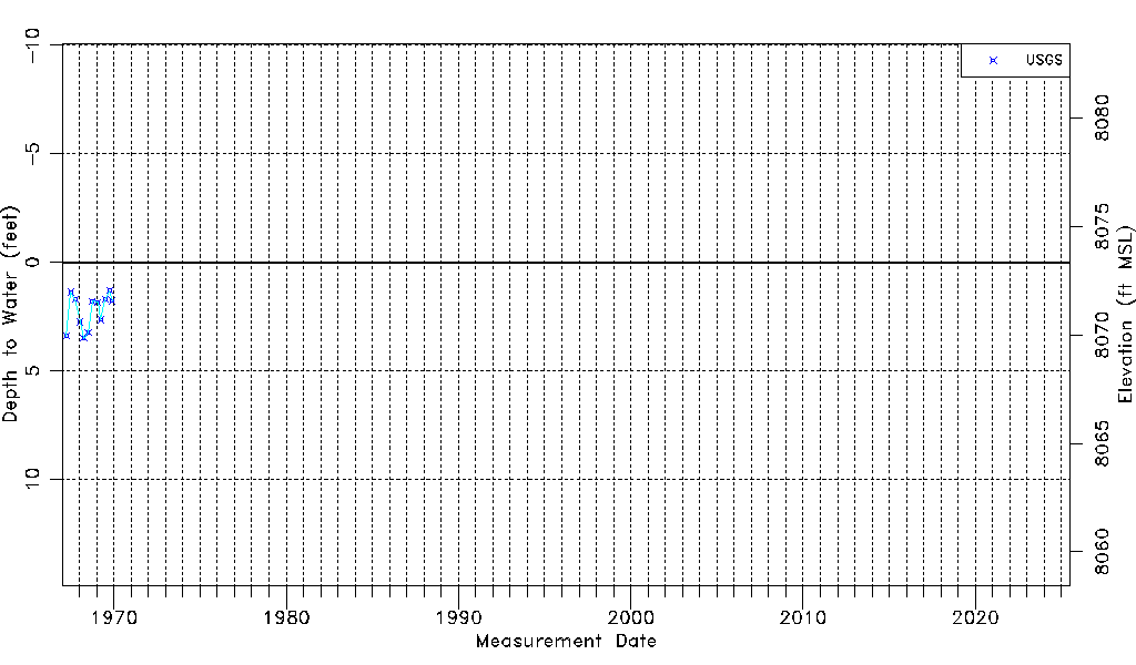
| Water-level Count | 12 |
| Water-level Date Range | 03/31/1967 thru 11/26/1969 |
| Monitored within the last 18 months | No, most recently on 11/26/1969 |
| Depth-to-Water Range (ft) | 1.30 to 3.50 |
| Water Table Elevation Range (ft NAVD88) | 8069.84 to 8072.04 |
| Water-Level-Source:Number-of-Measurements | USGS:12 |