| Well Information Table |
|---|
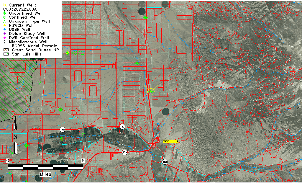
| Common Well ID | CC03207222CBA |
| USGS Well ID | 371500105253501 |
| USGS Station Name | CC03207222CBA |
| USGS Site Type | Well |
| USGS Site Use Information | Withdrawal of Water |
| USGS Groundwater Use Information | Irrigation |
| Data Source(s) | USGS |
| Location Data |
|---|
| TRS | CC03207222CBA |
| USGS TRS 1 | CC03207222CBA |
| USGS TRS | NENWSWS022T0032SR0072WS |
| Longitude/Latitude (NAD83) | -105.42695780 , 37.25001314 |
| Longitude/Latitude Data Source | GWSI decimal LAT/LONG field |
| USGS Longitude/Latitude (NAD83) | -105.426957800 , 37.250013140 |
| Easting, Northing RGDSS-NAD83 (US ft) | 271902.57 , 92611.64 |
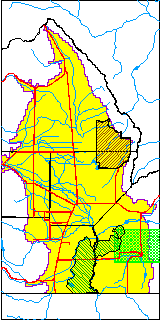
| USGS County | Costilla County |
| USGS Map Name | FT GARLAND |
| USGS Map Scale | 24000 |
| Elevation and Depth Data |
|---|
| Ground Elevation (ft NAVD88) | 8094.33 |
| Elevation Data Source | USGS GWSI database |
| USGS Ground Elevation (ft NGVD29) | 8090.00 |
| 1/3-Arc Second NED Ground Elevation (ft NAVD88) | 8082.73 |
| 1-Arc Second NED Ground Elevation (ft NAVD88) | 8082.13 |
| SRTM Ground Elevation (ft NAVD88) | 8070.73 |
| Total Depth (ft) | 220.00 |
| USGS Well Depth (ft) | 220.00 |
| Model Layer | 1 |
| Model Layer Source | Well Depth |
| Depth of Bottom of Layer 1 | 307 |
| Depth of Bottom of Layer 2 | 505 |
| Depth of Bottom of Layer 3 | 773 |
| Depth of Bottom of Layer 4 | 1096 |
| Additional Well Information | Geohydrology, Construction |
| Aquifer Information |
|---|
| Aquifer Type | Unconfined |
| Aquifer Type Source | TD Elevation/Model Layer |
| USGS Primary Aquifer | Cenozoic Erathem |
| USGS Hydrologic Unit | Alamosa-Trinchera |
| USGS Data Available | Water-level (GW.LEV) |
| Water-level Database Information |
|---|
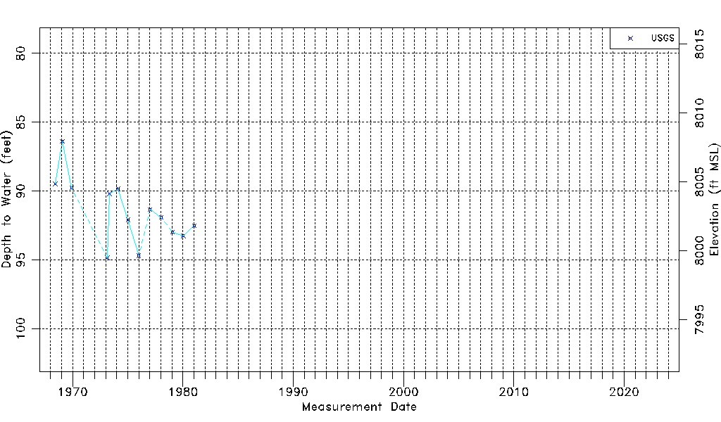
| Water-level Count | 13 |
| Water-level Date Range | 06/07/1968 thru 01/13/1981 |
| Monitored within the last 18 months | No, most recently on 01/13/1981 |
| Depth-to-Water Range (ft) | 86.38 to 94.85 |
| Water Table Elevation Range (ft NAVD88) | 7999.48 to 8007.95 |
| Water-Level-Source:Number-of-Measurements | USGS:13 |