| Well Information Table |
|---|
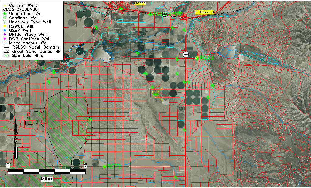
| Common Well ID | CC03107208ABC |
| USGS Well ID | 372118105280001 |
| USGS Station Name | CC03107208ABC |
| USGS Site Type | Well |
| USGS Site Use Information | Unused |
| USGS Groundwater Use Information | Unused |
| Data Source(s) | USGS |
| Location Data |
|---|
| TRS | CC03107208ABC |
| USGS TRS 1 | CC03107208ABC |
| USGS TRS | SWNWNES08 T031S R072WS |
| Longitude/Latitude (NAD83) | -105.46723460 , 37.35501020 |
| Longitude/Latitude Data Source | GWSI decimal LAT/LONG field |
| USGS Longitude/Latitude (NAD83) | -105.467234600 , 37.355010200 |
| Easting, Northing RGDSS-NAD83 (US ft) | 260100.24 , 130800.25 |
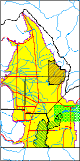
| USGS County | Costilla County |
| Elevation and Depth Data |
|---|
| Ground Elevation (ft NAVD88) | 7831.36 |
| Elevation Data Source | USGS GWSI database |
| USGS Ground Elevation (ft NGVD29) | 7827.00 |
| 1/3-Arc Second NED Ground Elevation (ft NAVD88) | 7844.25 |
| 1-Arc Second NED Ground Elevation (ft NAVD88) | 7842.86 |
| SRTM Ground Elevation (ft NAVD88) | 7854.07 |
| Total Depth (ft) | 192.00 |
| USGS Well Depth (ft) | 192.00 |
| Model Layer | 1 |
| Model Layer Source | Well Depth |
| Depth of Bottom of Layer 1 | 407 |
| Depth of Bottom of Layer 2 | 507 |
| Depth of Bottom of Layer 3 | 702 |
| Depth of Bottom of Layer 4 | 1154 |
| Additional Well Information | Geohydrology, Construction |
| Aquifer Information |
|---|
| Aquifer Type | Unconfined |
| Aquifer Type Source | TD Elevation/Model Layer |
| USGS Primary Aquifer | Cenozoic Erathem |
| USGS Hydrologic Unit | Alamosa-Trinchera |
| USGS Data Available | Water-level (GW.LEV) |
| Water-level Database Information |
|---|
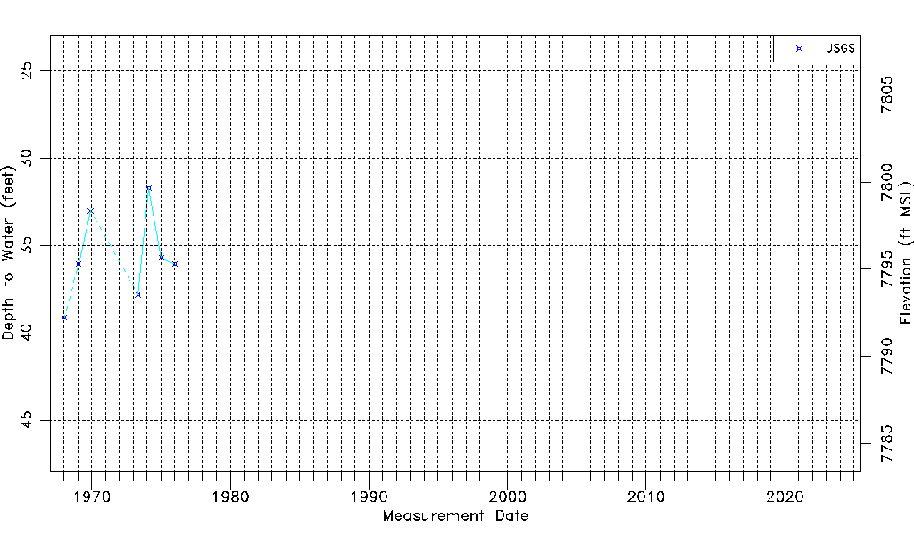
| Water-level Count | 7 |
| Water-level Date Range | 01/16/1968 thru 01/06/1976 |
| Monitored within the last 18 months | No, most recently on 01/06/1976 |
| Depth-to-Water Range (ft) | 31.73 to 39.13 |
| Water Table Elevation Range (ft NAVD88) | 7792.23 to 7799.63 |
| Water-Level-Source:Number-of-Measurements | USGS:7 |