| Well Information Table |
|---|
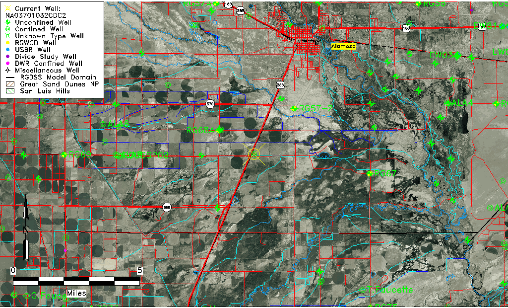
| Common Well ID | NA03701032CDC2 |
| USGS Well ID | 372405105541002 |
| USGS Station Name | NA03701032CDC2 |
| USGS Construction Date | 01/01/1955 |
| USGS Site Type | Well |
| USGS Site Use Information | Withdrawal of Water |
| USGS Groundwater Use Information | Irrigation |
| Data Source(s) | USGS |
| Location Data |
|---|
| TRS | NA03701032CDC2 |
| USGS TRS 1 | NA03701032CDC2 |
| USGS TRS | SWSESWS032T0037NR0010EN |
| Longitude/Latitude (NAD83) | -105.90335550 , 37.40139496 |
| Longitude/Latitude Data Source | GWSI decimal LAT/LONG field |
| USGS Longitude/Latitude (NAD83) | -105.903355500 , 37.401394960 |
| Easting, Northing RGDSS-NAD83 (US ft) | 133419.59 , 147701.65 |
| USGS Topography | Valley flat |
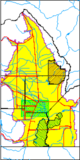
| USGS County | Alamosa County |
| USGS Map Name | ALAMOSA WEST |
| USGS Map Scale | 24000 |
| Elevation and Depth Data |
|---|
| Ground Elevation (ft NAVD88) | 7552.94 |
| Elevation Data Source | USGS GWSI database |
| USGS Ground Elevation (ft NGVD29) | 7549.00 |
| 1/3-Arc Second NED Ground Elevation (ft NAVD88) | 7553.09 |
| 1-Arc Second NED Ground Elevation (ft NAVD88) | 7550.86 |
| SRTM Ground Elevation (ft NAVD88) | 7542.65 |
| Total Depth (ft) | 1721.00 |
| USGS Well Depth (ft) | 1721.00 |
| Model Layer | 4 |
| Model Layer Source | Well Depth |
| Depth of Bottom of Layer 1 | 42 |
| Depth of Bottom of Layer 2 | 361 |
| Depth of Bottom of Layer 3 | 696 |
| Depth of Bottom of Layer 4 | 2249 |
| Additional Well Information | Geohydrology, Construction |
| Aquifer Information |
|---|
| Aquifer Type | Confined |
| Aquifer Type Source | TD Elevation/Model Layer |
| USGS Primary Aquifer | Cenozoic Erathem |
| USGS Hydrologic Unit | Alamosa-Trinchera |
| USGS Data Available | Water-level (GW.LEV) |
| Water-level Database Information |
|---|
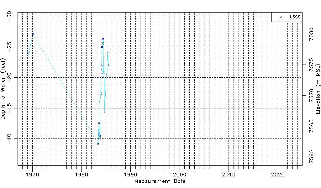
| Water-level Count | 20 |
| Water-level Date Range | 01/17/1969 thru 07/03/1985 |
| Monitored within the last 18 months | No, most recently on 07/03/1985 |
| Depth-to-Water Range (ft) | -27.10 to -9.17 |
| Water Table Elevation Range (ft NAVD88) | 7562.11 to 7580.04 |
| Water-Level-Source:Number-of-Measurements | USGS:20 |