| Well Information Table |
|---|
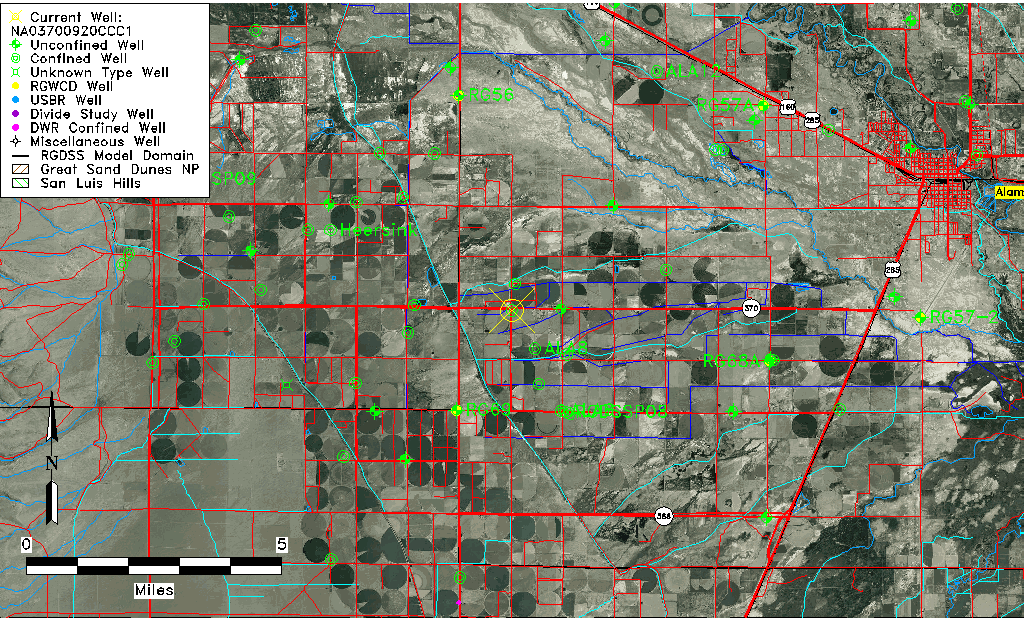
| Common Well ID | NA03700920CCC1 |
| USGS Well ID | 372545106011001 |
| USGS Station Name | NA03700920CCC1 |
| USGS Site Type | Well |
| USGS Site Use Information | Withdrawal of Water |
| USGS Groundwater Use Information | Irrigation |
| Data Source(s) | USGS |
| Location Data |
|---|
| TRS | NA03700920CCC1 |
| USGS TRS 1 | NA03700920CCC1 |
| USGS TRS | SWSWSWS020T0037NR0009EN |
| Longitude/Latitude (NAD83) | -106.02002510 , 37.42917140 |
| Longitude/Latitude Data Source | GWSI decimal LAT/LONG field |
| USGS Longitude/Latitude (NAD83) | -106.020025100 , 37.429171400 |
| Easting, Northing RGDSS-NAD83 (US ft) | 99576.27 , 157916.77 |
| USGS Topography | Valley flat |
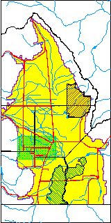
| USGS County | Alamosa County |
| Elevation and Depth Data |
|---|
| Ground Elevation (ft NAVD88) | 7595.39 |
| Elevation Data Source | USGS GWSI database |
| USGS Ground Elevation (ft NGVD29) | 7591.25 |
| 1/3-Arc Second NED Ground Elevation (ft NAVD88) | 7594.60 |
| 1-Arc Second NED Ground Elevation (ft NAVD88) | 7594.56 |
| SRTM Ground Elevation (ft NAVD88) | 7605.29 |
| Total Depth (ft) | 500.00 |
| USGS Well Depth (ft) | 500.00 |
| Model Layer | 3 |
| Model Layer Source | Well Depth |
| Depth of Bottom of Layer 1 | 28 |
| Depth of Bottom of Layer 2 | 152 |
| Depth of Bottom of Layer 3 | 531 |
| Depth of Bottom of Layer 4 | 2170 |
| Additional Well Information | Geohydrology, Construction |
| Aquifer Information |
|---|
| Aquifer Type | Confined |
| Aquifer Type Source | TD Elevation/Model Layer |
| USGS Primary Aquifer | Cenozoic Erathem |
| USGS Hydrologic Unit | Alamosa-Trinchera |
| USGS Data Available | Water-level (GW.LEV) |
| Water-level Database Information |
|---|
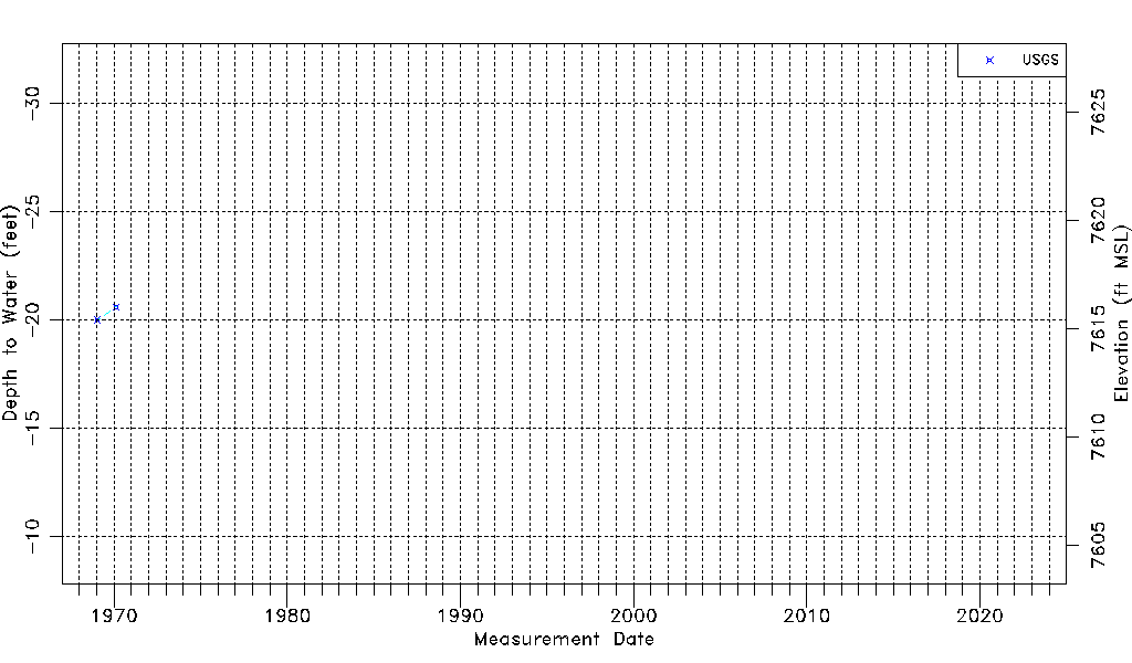
| Water-level Count | 2 |
| Water-level Date Range | 01/17/1969 thru 02/21/1970 |
| Monitored within the last 18 months | No, most recently on 02/21/1970 |
| Depth-to-Water Range (ft) | -20.60 to -20.00 |
| Water Table Elevation Range (ft NAVD88) | 7615.39 to 7615.99 |
| Water-Level-Source:Number-of-Measurements | USGS:2 |