| Well Information Table |
|---|
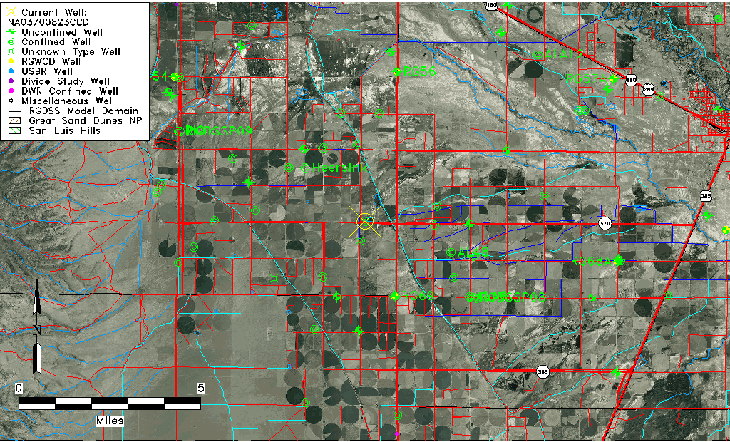
| Common Well ID | NA03700823CCD |
| USGS Well ID | 372550106031501 |
| USGS Station Name | NA03700823CCD |
| USGS Site Type | Well |
| USGS Site Use Information | Unused |
| USGS Groundwater Use Information | Unused |
| Data Source(s) | USGS |
| Location Data |
|---|
| TRS | NA03700823CCD |
| USGS TRS 1 | NA03700823CCD |
| USGS TRS | SESWSWS023T0037NR0008EN |
| Longitude/Latitude (NAD83) | -106.05474840 , 37.43056030 |
| Longitude/Latitude Data Source | GWSI decimal LAT/LONG field |
| USGS Longitude/Latitude (NAD83) | -106.054748400 , 37.430560300 |
| Easting, Northing RGDSS-NAD83 (US ft) | 89498.33 , 158461.49 |
| USGS Topography | Valley flat |
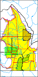
| USGS County | Rio Grande County |
| Elevation and Depth Data |
|---|
| Ground Elevation (ft NAVD88) | 7632.22 |
| Elevation Data Source | USGS GWSI database |
| USGS Ground Elevation (ft NGVD29) | 7628.00 |
| 1/3-Arc Second NED Ground Elevation (ft NAVD88) | 7616.59 |
| 1-Arc Second NED Ground Elevation (ft NAVD88) | 7622.72 |
| SRTM Ground Elevation (ft NAVD88) | 7627.75 |
| Total Depth (ft) | 250.00 |
| USGS Well Depth (ft) | 250.00 |
| Model Layer | 3 |
| Model Layer Source | Well Depth |
| Depth of Bottom of Layer 1 | 49 |
| Depth of Bottom of Layer 2 | 222 |
| Depth of Bottom of Layer 3 | 458 |
| Depth of Bottom of Layer 4 | 2133 |
| Additional Well Information | Geohydrology, Construction |
| Aquifer Information |
|---|
| Aquifer Type | Confined |
| Aquifer Type Source | TD Elevation/Model Layer |
| USGS Primary Aquifer | Cenozoic Erathem |
| USGS Hydrologic Unit | Alamosa-Trinchera |
| USGS Data Available | Water-level (GW.LEV) |
| Water-level Database Information |
|---|
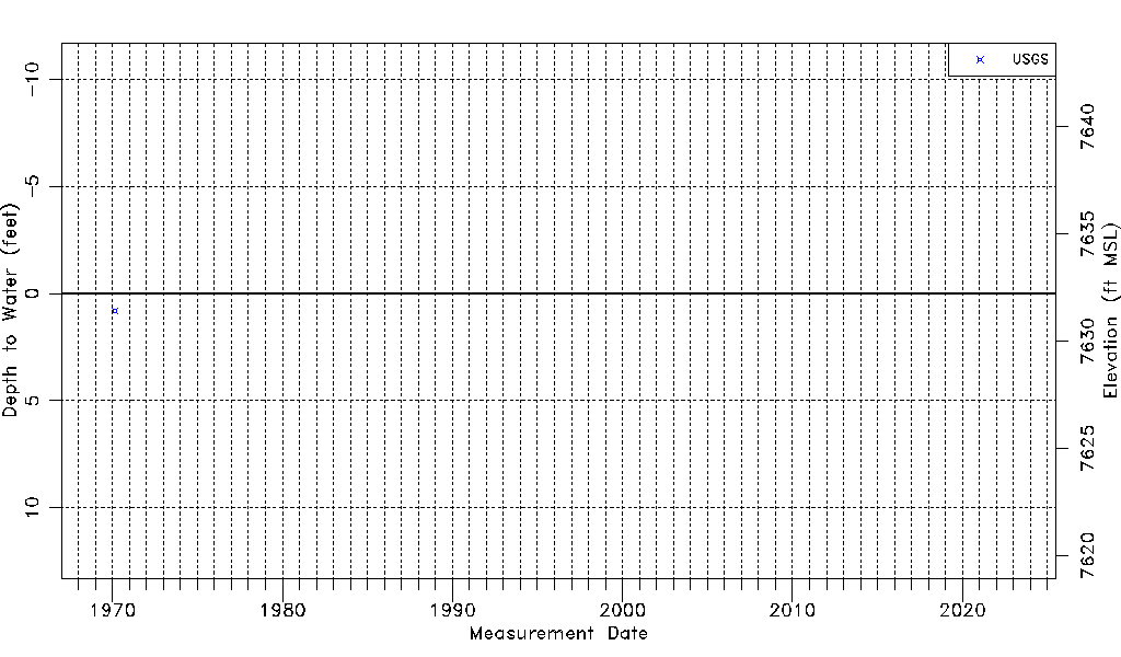
| Water-level Count | 1 |
| Water-level Date Range | 02/19/1970 thru 02/19/1970 |
| Monitored within the last 18 months | No, most recently on 02/19/1970 |
| Depth-to-Water Range (ft) | 0.80 to 0.80 |
| Water Table Elevation Range (ft NAVD88) | 7631.42 to 7631.42 |
| Water-Level-Source:Number-of-Measurements | USGS:1 |