| Well Information Table |
|---|
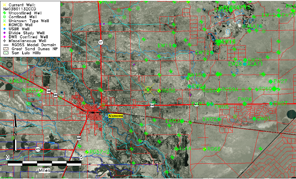
| Common Well ID | NA03801132CCD |
| USGS Well ID | 372850105450601 |
| USGS Station Name | NA03801132CCD |
| USGS Construction Date | 01/01/1967 |
| USGS Site Type | Well |
| USGS Site Use Information | Observation |
| USGS Groundwater Use Information | Unused |
| Data Source(s) | USGS |
| Location Data |
|---|
| TRS | NA03801132CCD |
| USGS TRS 1 | NA03801132CCD |
| USGS TRS | SESWSWS032T0038NR0011EN |
| Longitude/Latitude (NAD83) | -105.79946440 , 37.48889365 |
| Longitude/Latitude Data Source | GWSI decimal LAT/LONG field |
| USGS Longitude/Latitude (NAD83) | -105.799464400 , 37.488893650 |
| Easting, Northing RGDSS-NAD83 (US ft) | 163632.29 , 179493.99 |
| USGS Topography | Valley flat |
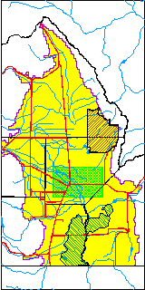
| USGS County | Alamosa County |
| USGS Map Name | ALAMOSA EAST |
| USGS Map Scale | 24000 |
| Elevation and Depth Data |
|---|
| Ground Elevation (ft NAVD88) | 7534.82 |
| Elevation Data Source | USGS GWSI database |
| USGS Ground Elevation (ft NGVD29) | 7531.00 |
| 1/3-Arc Second NED Ground Elevation (ft NAVD88) | 7537.83 |
| 1-Arc Second NED Ground Elevation (ft NAVD88) | 7534.97 |
| SRTM Ground Elevation (ft NAVD88) | 7526.83 |
| Total Depth (ft) | 13.00 |
| USGS Well Depth (ft) | 13.00 |
| Model Layer | 1 |
| Model Layer Source | Well Depth |
| Depth of Bottom of Layer 1 | 56 |
| Depth of Bottom of Layer 2 | 322 |
| Depth of Bottom of Layer 3 | 783 |
| Depth of Bottom of Layer 4 | 2646 |
| Additional Well Information | Geohydrology, Construction |
| Aquifer Information |
|---|
| Aquifer Type | Unconfined |
| Aquifer Type Source | TD Elevation/Model Layer |
| USGS Primary Aquifer | Cenozoic Erathem |
| USGS Hydrologic Unit | Alamosa-Trinchera |
| USGS Data Available | Water-level (GW.LEV) |
| Water-level Database Information |
|---|
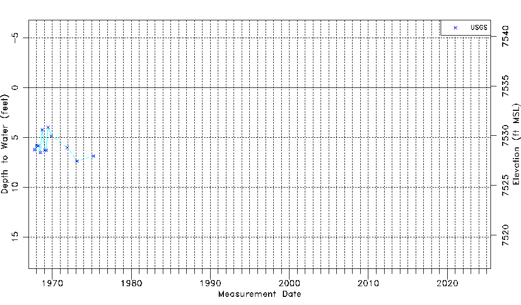
| Water-level Count | 12 |
| Water-level Date Range | 10/03/1967 thru 04/01/1975 |
| Monitored within the last 18 months | No, most recently on 04/01/1975 |
| Depth-to-Water Range (ft) | 3.99 to 7.37 |
| Water Table Elevation Range (ft NAVD88) | 7527.45 to 7530.83 |
| Water-Level-Source:Number-of-Measurements | USGS:12 |