| Well Information Table |
|---|
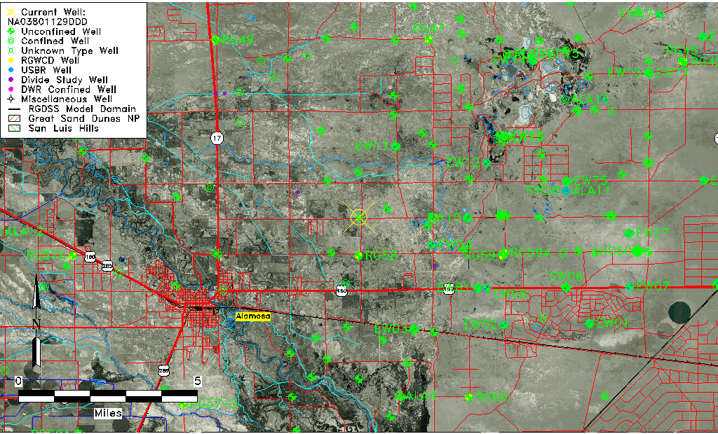
| Common Well ID | NA03801129DDD |
| USGS Well ID | 372915105471801 |
| USGS Station Name | NA03801129DDD |
| USGS Construction Date | 01/01/1967 |
| USGS Site Type | Well |
| USGS Site Use Information | Observation |
| USGS Groundwater Use Information | Unused |
| Data Source(s) | USGS |
| Location Data |
|---|
| TRS | NA03801129DDD |
| USGS TRS 1 | NA03801129DDD |
| USGS TRS | SESESES029T0038NR0011EN |
| Longitude/Latitude (NAD83) | -105.78557520 , 37.50333785 |
| Longitude/Latitude Data Source | GWSI decimal LAT/LONG field |
| USGS Longitude/Latitude (NAD83) | -105.785575200 , 37.503337850 |
| Easting, Northing RGDSS-NAD83 (US ft) | 167667.34 , 184746.53 |
| USGS Topography | Valley flat |
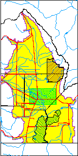
| USGS County | Alamosa County |
| USGS Map Name | HOOPER |
| USGS Map Scale | 24000 |
| Elevation and Depth Data |
|---|
| Ground Elevation (ft NAVD88) | 7533.84 |
| Elevation Data Source | USGS GWSI database |
| USGS Ground Elevation (ft NGVD29) | 7530.00 |
| 1/3-Arc Second NED Ground Elevation (ft NAVD88) | 7534.33 |
| 1-Arc Second NED Ground Elevation (ft NAVD88) | 7534.21 |
| SRTM Ground Elevation (ft NAVD88) | 7532.86 |
| Total Depth (ft) | 16.00 |
| USGS Well Depth (ft) | 16.00 |
| Model Layer | 1 |
| Model Layer Source | Well Depth |
| Depth of Bottom of Layer 1 | 54 |
| Depth of Bottom of Layer 2 | 388 |
| Depth of Bottom of Layer 3 | 811 |
| Depth of Bottom of Layer 4 | 2724 |
| Additional Well Information | Geohydrology, Construction |
| Aquifer Information |
|---|
| Aquifer Type | Unconfined |
| Aquifer Type Source | TD Elevation/Model Layer |
| USGS Primary Aquifer | Cenozoic Erathem |
| USGS Hydrologic Unit | San Luis |
| USGS Data Available | Water-level (GW.LEV) |
| Water-level Database Information |
|---|
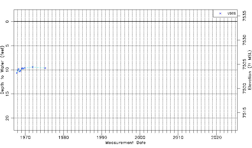
| Water-level Count | 11 |
| Water-level Date Range | 10/03/1967 thru 04/01/1975 |
| Monitored within the last 18 months | No, most recently on 04/01/1975 |
| Depth-to-Water Range (ft) | 9.42 to 10.65 |
| Water Table Elevation Range (ft NAVD88) | 7523.19 to 7524.42 |
| Water-Level-Source:Number-of-Measurements | USGS:11 |