| Well Information Table |
|---|
| Common Well ID | NA03801034DDD1 |
| USGS Well ID | 372920105513001 |
| USGS Station Name | NA03801034DDD1 |
| USGS Construction Date | 01/01/1955 |
| USGS Site Type | Well |
| USGS Site Use Information | Withdrawal of Water |
| USGS Groundwater Use Information | Recreation |
| Data Source(s) | USGS |
| Location Data |
|---|
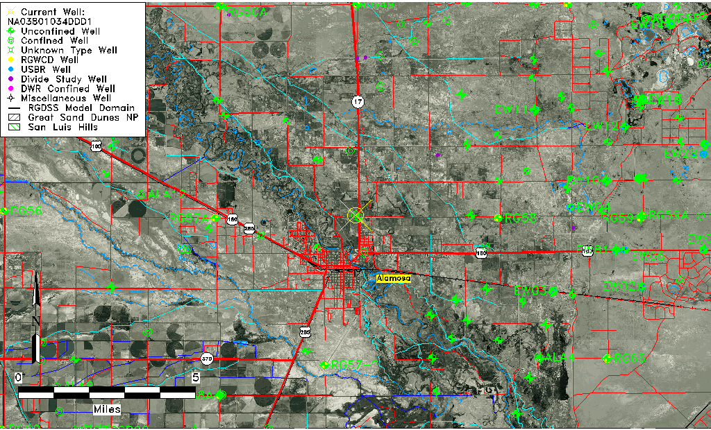
| TRS | NA03801034DDD1 |
| USGS TRS 1 | NA03801034DDD1 |
| USGS TRS | SESESES034T0038NR0010EN |
| Longitude/Latitude (NAD83) | -105.85891020 , 37.48889325 |
| Longitude/Latitude Data Source | GWSI decimal LAT/LONG field |
| USGS Longitude/Latitude (NAD83) | -105.858910200 , 37.488893250 |
| Easting, Northing RGDSS-NAD83 (US ft) | 146389.75 , 179522.92 |
| USGS Topography | Valley flat |
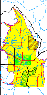
| USGS County | Alamosa County |
| Elevation and Depth Data |
|---|
| Ground Elevation (ft NAVD88) | 7545.76 |
| Elevation Data Source | USGS GWSI database |
| USGS Ground Elevation (ft NGVD29) | 7542.00 |
| 1/3-Arc Second NED Ground Elevation (ft NAVD88) | 7544.41 |
| 1-Arc Second NED Ground Elevation (ft NAVD88) | 7545.06 |
| SRTM Ground Elevation (ft NAVD88) | 7558.96 |
| Total Depth (ft) | 2006.00 |
| USGS Well Depth (ft) | 2006.00 |
| Model Layer | 4 |
| Model Layer Source | Well Depth |
| Depth of Bottom of Layer 1 | 85 |
| Depth of Bottom of Layer 2 | 415 |
| Depth of Bottom of Layer 3 | 762 |
| Depth of Bottom of Layer 4 | 2369 |
| Additional Well Information | Geohydrology, Construction |
| Aquifer Information |
|---|
| Aquifer Type | Confined |
| Aquifer Type Source | TD Elevation/Model Layer |
| USGS Primary Aquifer | Cenozoic Erathem |
| USGS Hydrologic Unit | Alamosa-Trinchera |
| USGS Data Available | Water-level (GW.LEV) |
| Water-level Database Information |
|---|
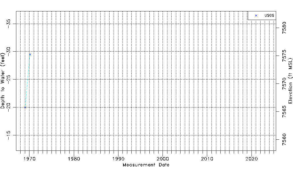
| Water-level Count | 2 |
| Water-level Date Range | 01/20/1969 thru 02/19/1970 |
| Monitored within the last 18 months | No, most recently on 02/19/1970 |
| Depth-to-Water Range (ft) | -29.50 to -20.00 |
| Water Table Elevation Range (ft NAVD88) | 7565.76 to 7575.26 |
| Water-Level-Source:Number-of-Measurements | USGS:2 |