| Well Information Table |
|---|
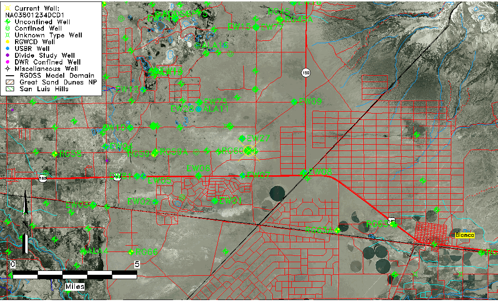
| Common Well ID | NA03801234DCD1 |
| USGS Well ID | 372923105383402 |
| USGS Station Name | NA03801234DCD1 |
| USGS Construction Date | 08/01/1976 |
| USGS Site Type | Well |
| USGS Site Use Information | Observation |
| USGS Groundwater Use Information | Unused |
| Data Source(s) | USGS |
| Location Data |
|---|
| TRS | NA03801234DCD1 |
| USGS TRS 1 | NA03801234DCD1 |
| USGS TRS | SESWSES34 T038N R012E N |
| Longitude/Latitude (NAD83) | -105.64334920 , 37.48972785 |
| Longitude/Latitude Data Source | GWSI decimal LAT/LONG field |
| USGS Longitude/Latitude (NAD83) | -105.643349200 , 37.489727850 |
| Easting, Northing RGDSS-NAD83 (US ft) | 208913.51 , 179773.14 |
| USGS Topography | Valley flat |
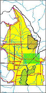
| USGS County | Alamosa County |
| USGS Map Name | BALDY |
| USGS Map Scale | 24000 |
| Elevation and Depth Data |
|---|
| Ground Elevation (ft NAVD88) | 7603.18 |
| Elevation Data Source | USGS GWSI database |
| USGS Ground Elevation (ft NGVD29) | 7599.00 |
| 1/3-Arc Second NED Ground Elevation (ft NAVD88) | 7603.53 |
| 1-Arc Second NED Ground Elevation (ft NAVD88) | 7602.90 |
| SRTM Ground Elevation (ft NAVD88) | 7608.07 |
| Total Depth (ft) | 50.00 |
| USGS Hole Depth (ft) | 50.00 |
| USGS Well Depth (ft) | 50.00 |
| Model Layer | 1 |
| Model Layer Source | Well Depth |
| Depth of Bottom of Layer 1 | 118 |
| Depth of Bottom of Layer 2 | 260 |
| Depth of Bottom of Layer 3 | 644 |
| Depth of Bottom of Layer 4 | 1821 |
| Additional Well Information | Geohydrology, Construction, Aquifer |
| Aquifer Information |
|---|
| Aquifer Type | Unconfined |
| Aquifer Type Source | TD Elevation/Model Layer |
| USGS Primary Aquifer | Tertiary System |
| USGS Hydrologic Unit | San Luis |
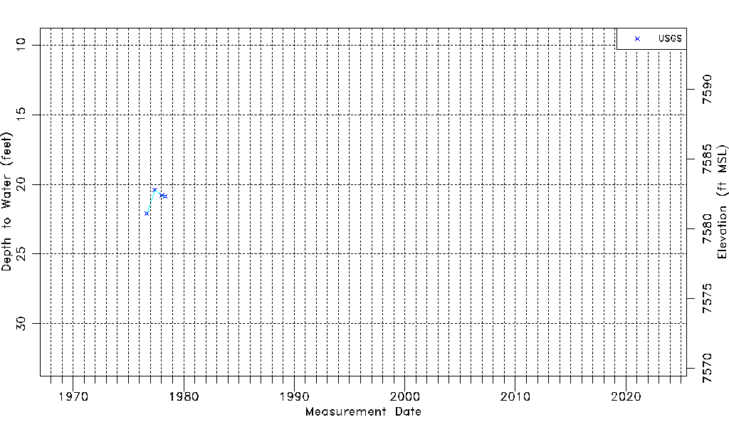
| USGS Data Available | Water-level (GW.LEV) |
| Water-level Database Information |
|---|
| Water-level Count | 4 |
| Water-level Date Range | 08/31/1976 thru 04/28/1978 |
| Monitored within the last 18 months | No, most recently on 04/28/1978 |
| Depth-to-Water Range (ft) | 20.42 to 22.10 |
| Water Table Elevation Range (ft NAVD88) | 7581.08 to 7582.76 |
| Water-Level-Source:Number-of-Measurements | USGS:4 |