| Well Information Table |
|---|
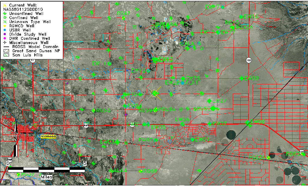
| Common Well ID | NA03801125DDD10 |
| USGS Well ID | 373015105424801 |
| USGS Station Name | NA03801125DDD10 |
| USGS Construction Date | 09/01/1976 |
| USGS Site Type | Well |
| USGS Site Use Information | Observation |
| USGS Groundwater Use Information | Unused |
| Data Source(s) | USGS |
| Location Data |
|---|
| TRS | NA03801125DDD10 |
| USGS TRS 1 | NA03801125DDD10 |
| USGS TRS | SESESES25 T038N R011E N |
| Longitude/Latitude (NAD83) | -105.71390670 , 37.50417158 |
| Longitude/Latitude Data Source | GWSI decimal LAT/LONG field |
| USGS Longitude/Latitude (NAD83) | -105.713906700 , 37.504171580 |
| Easting, Northing RGDSS-NAD83 (US ft) | 188451.04 , 185032.46 |
| USGS Topography | Valley flat |
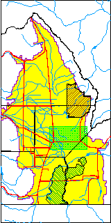
| USGS County | Alamosa County |
| USGS Map Name | DRY LAKES |
| USGS Map Scale | 24000 |
| Elevation and Depth Data |
|---|
| Ground Elevation (ft NAVD88) | 7534.06 |
| Elevation Data Source | USGS GWSI database |
| USGS Ground Elevation (ft NGVD29) | 7530.00 |
| 1/3-Arc Second NED Ground Elevation (ft NAVD88) | 7533.38 |
| 1-Arc Second NED Ground Elevation (ft NAVD88) | 7535.51 |
| SRTM Ground Elevation (ft NAVD88) | 7529.59 |
| Total Depth (ft) | 50.00 |
| USGS Hole Depth (ft) | 50.00 |
| USGS Well Depth (ft) | 50.00 |
| Model Layer | 1 |
| Model Layer Source | Well Depth |
| Depth of Bottom of Layer 1 | 59 |
| Depth of Bottom of Layer 2 | 267 |
| Depth of Bottom of Layer 3 | 799 |
| Depth of Bottom of Layer 4 | 2613 |
| Additional Well Information | Geohydrology, Construction, Aquifer |
| Aquifer Information |
|---|
| Aquifer Type | Unconfined |
| Aquifer Type Source | TD Elevation/Model Layer |
| USGS Primary Aquifer | Tertiary System |
| USGS Hydrologic Unit | San Luis |
| USGS Data Available | Geohydrologic |
| Water-level Database Information |
|---|
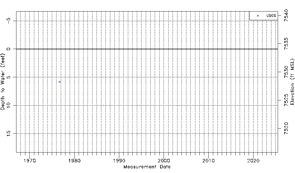
| Water-level Count | 1 |
| Water-level Date Range | 09/20/1976 thru 09/20/1976 |
| Monitored within the last 18 months | No, most recently on 09/20/1976 |
| Depth-to-Water Range (ft) | 5.81 to 5.81 |
| Water Table Elevation Range (ft NAVD88) | 7528.25 to 7528.25 |
| Water-Level-Source:Number-of-Measurements | USGS:1 |