| Well Information Table |
|---|
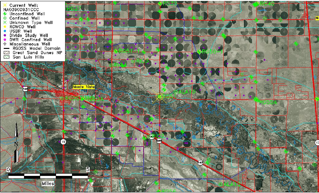
| Common Well ID | NA03900931CCC |
| USGS Well ID | 373409106021501 |
| USGS Station Name | NA03900931CCC |
| USGS Construction Date | 01/01/1948 |
| USGS Site Type | Well |
| USGS Site Use Information | Observation |
| USGS Groundwater Use Information | Unused |
| Data Source(s) | USGS |
| Location Data |
|---|
| TRS | NA03900931CCC |
| USGS TRS 1 | NA03900931CCC |
| USGS TRS | SWSWSWS031T0039NR0009EN |
| Longitude/Latitude (NAD83) | -106.03899770 , 37.57694675 |
| Longitude/Latitude Data Source | GWSI decimal LAT/LONG field |
| USGS Longitude/Latitude (NAD83) | -106.038997700 , 37.576946750 |
| Easting, Northing RGDSS-NAD83 (US ft) | 94279.42 , 211730.81 |
| USGS Topography | Valley flat |
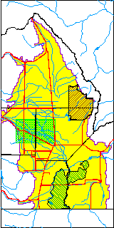
| USGS County | Alamosa County |
| Elevation and Depth Data |
|---|
| Ground Elevation (ft NAVD88) | 7571.25 |
| Elevation Data Source | USGS GWSI database |
| USGS Ground Elevation (ft NGVD29) | 7567.00 |
| 1/3-Arc Second NED Ground Elevation (ft NAVD88) | 7603.83 |
| 1-Arc Second NED Ground Elevation (ft NAVD88) | 7603.44 |
| SRTM Ground Elevation (ft NAVD88) | 7609.55 |
| Total Depth (ft) | 10.00 |
| USGS Well Depth (ft) | 10.00 |
| Model Layer | 1 |
| Model Layer Source | Well Depth |
| Depth of Bottom of Layer 1 | 28 |
| Depth of Bottom of Layer 2 | 158 |
| Depth of Bottom of Layer 3 | 616 |
| Depth of Bottom of Layer 4 | 2121 |
| Additional Well Information | Geohydrology, Construction |
| Aquifer Information |
|---|
| Aquifer Type | Unconfined |
| Aquifer Type Source | TD Elevation/Model Layer |
| USGS Primary Aquifer | Cenozoic Erathem |
| USGS Hydrologic Unit | Alamosa-Trinchera |
| USGS Data Available | Water-level (GW.LEV) |
| Water-level Database Information |
|---|
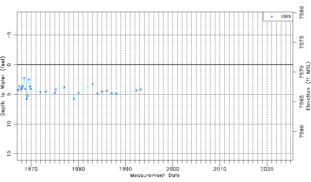
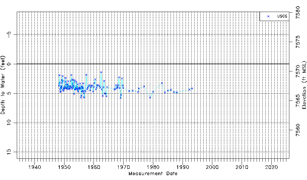
| Water-level Count | 163 |
| Water-level Date Range | 04/19/1948 thru 03/23/1993 |
| Monitored within the last 18 months | No, most recently on 03/23/1993 |
| Depth-to-Water Range (ft) | 1.42 to 5.78 |
| Water Table Elevation Range (ft NAVD88) | 7565.47 to 7569.83 |
| Water-Level-Source:Number-of-Measurements | USGS:163 |