| Well Information Table |
|---|
| Common Well ID | NA03801103AAA2 RG47 |
| RGWCD Well ID | RG47 |
| USGS Well ID | 373424105445202 |
| USGS Station Name | NA03801103AAA2 RG47 |
| USGS Construction Date | 11/21/1968 |
| USGS Site Type | Well |
| USGS Site Use Information | Observation |
| USGS Groundwater Use Information | Unused |
| Data Source(s) | USGS, RGWCD |
| Location Data |
|---|
| TRS | NA03801103AAA2 RG47 |
| RGWCD TRS | NA03801103AAA2 |
| USGS TRS 1 | NA03801103AAA2 RG47 |
| USGS TRS | NENENES003T0038NR0011EN |
| Longitude/Latitude (NAD83) | -105.75011617 , 37.57546092 |
| Longitude/Latitude Data Source | RGWCD/Davis Engineering |
| RGWCD Longitude/Latitude (NAD83) | -105:45:00.4182 , 37:34:31.6593 |
| USGS Longitude/Latitude (NAD83) | -105.748351900 , 37.573336660 |
| Easting, Northing RGDSS-NAD83 (US ft) | 177972.78 , 210989.12 |
| USGS Topography | Undulating |
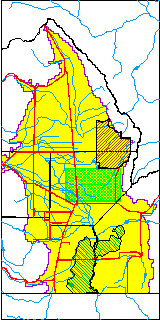
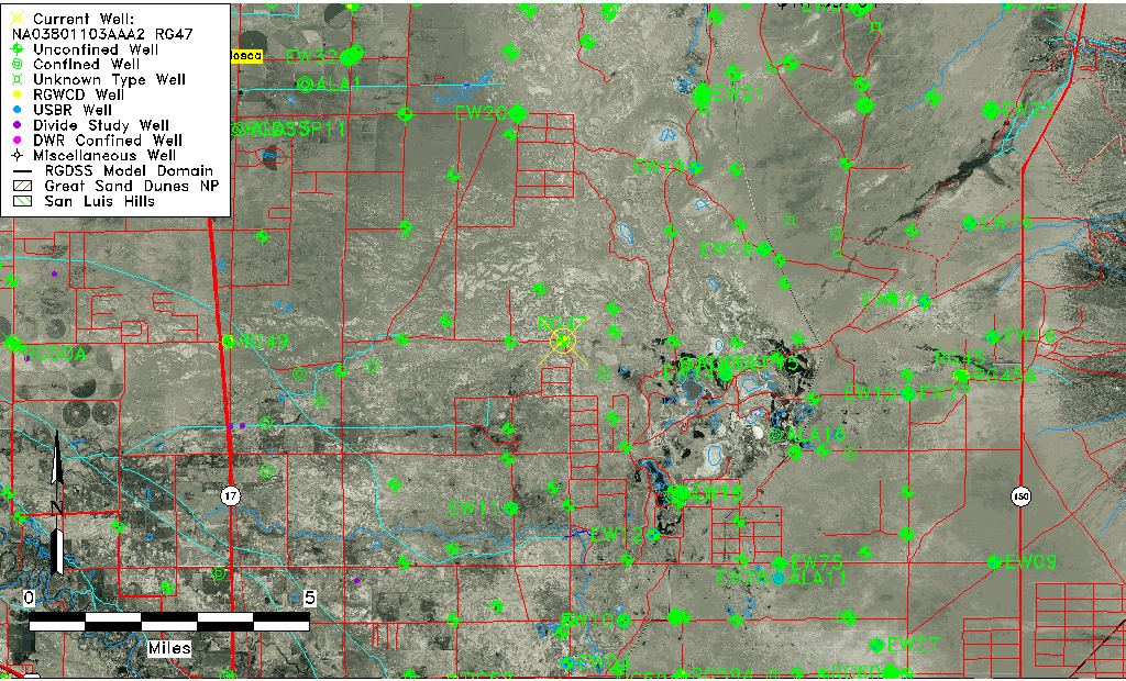
| USGS County | Alamosa County |
| USGS Map Name | HOOPER S E |
| USGS Map Scale | 24000 |
| Elevation and Depth Data |
|---|
| Ground Elevation (ft NAVD88) | 7522.31 |
| Elevation Data Source | RGWCD well database |
| RGWCD Measuring Point Elevation (ft NAVD88) | 7523.910 |
| RGWCD Well Riser Height (ft) | 1.600 |
| RGWCD Ground Surface (ft NAVD88) | 7522.31 |
| USGS Ground Elevation (ft NGVD29) | 7521.00 |
| 1/3-Arc Second NED Ground Elevation (ft NAVD88) | 7523.82 |
| 1-Arc Second NED Ground Elevation (ft NAVD88) | 7523.21 |
| SRTM Ground Elevation (ft NAVD88) | 7525.34 |
| Total Depth (ft) | 45.50 |
| USGS Well Depth (ft) | 45.50 |
| Model Layer | 1 |
| Model Layer Source | RGWCD |
| Depth of Bottom of Layer 1 | 35 |
| Depth of Bottom of Layer 2 | 406 |
| Depth of Bottom of Layer 3 | 954 |
| Depth of Bottom of Layer 4 | 2860 |
| Additional Well Information | Geohydrology, Construction |
| Aquifer Information |
|---|
| Aquifer Type | Unconfined |
| Aquifer Type Source | RGWCD_AQ |
| USGS Hydrologic Unit | San Luis |
| USGS Data Available | Water-level (GW.LEV) |
| Water-level Database Information |
|---|
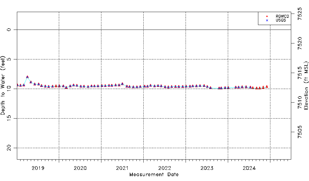
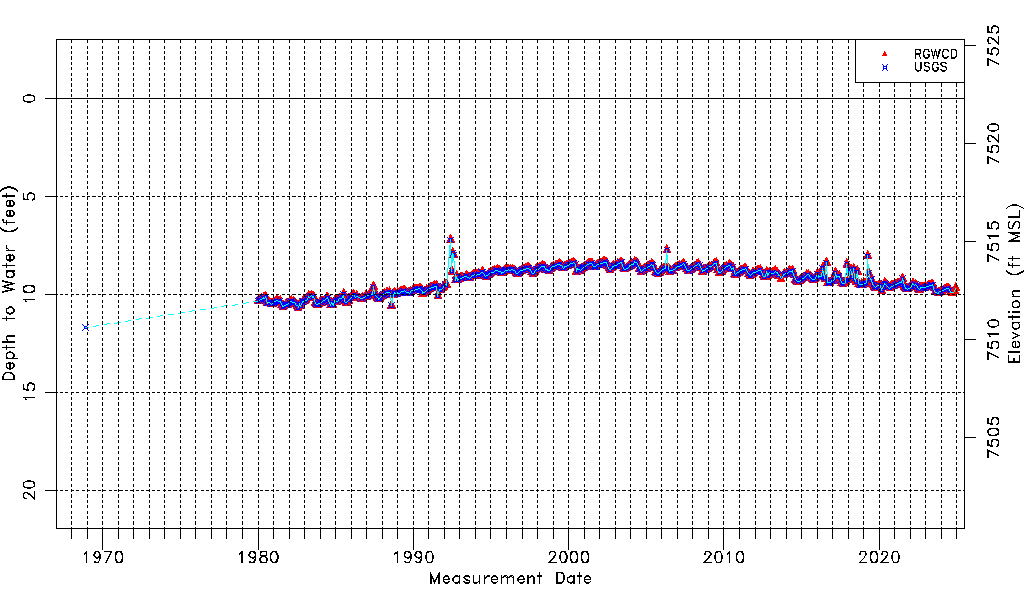
| Water-level Count | 551 |
| Water-level Date Range | 11/21/1968 thru 06/17/2026 |
| Monitored within the last 18 months | Yes, most recently on 06/17/2026 |
| Depth-to-Water Range (ft) | 7.22 to 11.70 |
| Water Table Elevation Range (ft NAVD88) | 7510.61 to 7515.09 |
| Water-Level-Source:Number-of-Measurements | RGWCD:540 USGS:505 |