| Well Information Table |
|---|
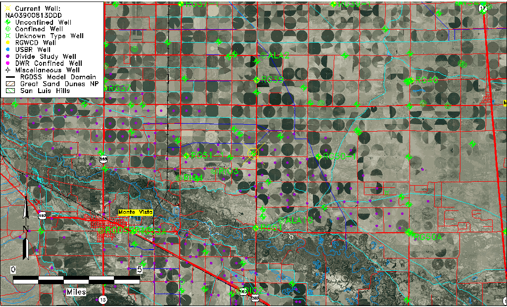
| Common Well ID | NA03900813DDD |
| USGS Well ID | 373710106022501 |
| USGS Station Name | NA03900813DDD |
| USGS Construction Date | 01/01/1968 |
| USGS Site Type | Well |
| USGS Site Use Information | Destroyed |
| USGS Groundwater Use Information | Unused |
| Data Source(s) | USGS |
| Location Data |
|---|
| TRS | NA03900813DDD |
| USGS TRS 1 | NA03900813DDD |
| USGS TRS | SESESES013T0039NR0008EN |
| Longitude/Latitude (NAD83) | -106.04085870 , 37.61944619 |
| Longitude/Latitude Data Source | GWSI decimal LAT/LONG field |
| USGS Longitude/Latitude (NAD83) | -106.040858700 , 37.619446190 |
| Easting, Northing RGDSS-NAD83 (US ft) | 93801.55 , 227203.81 |
| USGS Topography | Valley flat |
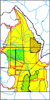
| USGS County | Rio Grande County |
| Elevation and Depth Data |
|---|
| Ground Elevation (ft NAVD88) | 7613.28 |
| Elevation Data Source | USGS GWSI database |
| USGS Ground Elevation (ft NGVD29) | 7609.00 |
| 1/3-Arc Second NED Ground Elevation (ft NAVD88) | 7614.75 |
| 1-Arc Second NED Ground Elevation (ft NAVD88) | 7614.79 |
| SRTM Ground Elevation (ft NAVD88) | 7621.69 |
| Total Depth (ft) | 18.00 |
| USGS Well Depth (ft) | 18.00 |
| Model Layer | 1 |
| Model Layer Source | Well Depth |
| Depth of Bottom of Layer 1 | 80 |
| Depth of Bottom of Layer 2 | 222 |
| Depth of Bottom of Layer 3 | 642 |
| Depth of Bottom of Layer 4 | 2197 |
| Additional Well Information | Geohydrology, Construction |
| Aquifer Information |
|---|
| Aquifer Type | Unconfined |
| Aquifer Type Source | TD Elevation/Model Layer |
| USGS Primary Aquifer | Cenozoic Erathem |
| USGS Hydrologic Unit | San Luis |
| USGS Data Available | Water-level (GW.LEV) |
| Water-level Database Information |
|---|
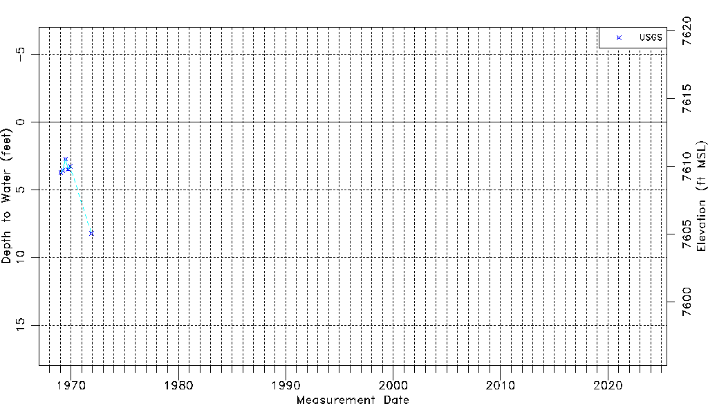
| Water-level Count | 6 |
| Water-level Date Range | 01/27/1969 thru 11/29/1971 |
| Monitored within the last 18 months | No, most recently on 11/29/1971 |
| Depth-to-Water Range (ft) | 2.74 to 8.22 |
| Water Table Elevation Range (ft NAVD88) | 7605.06 to 7610.54 |
| Water-Level-Source:Number-of-Measurements | USGS:6 |