| Well Information Table |
|---|
| Common Well ID | NA03901016BDD5 |
| USGS Well ID | 373732105525605 |
| USGS Station Name | NA03901016BDD5 |
| USGS Construction Date | 11/11/2006 |
| USGS Site Type | Well |
| USGS Site Use Information | Unknown |
| USGS Groundwater Use Information | Unknown |
| Data Source(s) | USGS |
| Location Data |
|---|
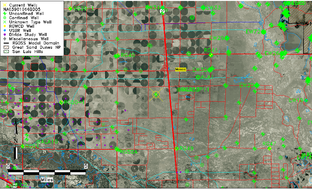
| TRS | NA03901016BDD5 |
| USGS TRS 1 | NA03901016BDD5 |
| USGS TRS | SESENWS16 T39N R10E N |
| Longitude/Latitude (NAD83) | -105.88295830 , 37.62548610 |
| Longitude/Latitude Data Source | GWSI decimal LAT/LONG field |
| USGS Longitude/Latitude (NAD83) | -105.882958300 , 37.625486100 |
| Easting, Northing RGDSS-NAD83 (US ft) | 139527.40 , 229259.51 |
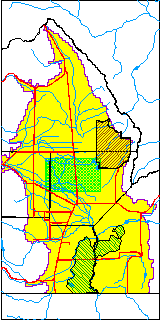
| USGS County | Alamosa County |
| USGS Map Name | HOOPER WEST |
| USGS Map Scale | 24000 |
| Elevation and Depth Data |
|---|
| Ground Elevation (ft NAVD88) | 7562.00 |
| Elevation Data Source | USGS GWSI database |
| USGS Ground Elevation (ft NAVD88) | 7562.00 |
| 1/3-Arc Second NED Ground Elevation (ft NAVD88) | 7559.81 |
| 1-Arc Second NED Ground Elevation (ft NAVD88) | 7558.24 |
| SRTM Ground Elevation (ft NAVD88) | 7564.80 |
| Total Depth (ft) | 40.00 |
| USGS Hole Depth (ft) | 45.00 |
| USGS Well Depth (ft) | 40.00 |
| Model Layer | 1 |
| Model Layer Source | Well Depth |
| Depth of Bottom of Layer 1 | 78 |
| Depth of Bottom of Layer 2 | 290 |
| Depth of Bottom of Layer 3 | 864 |
| Depth of Bottom of Layer 4 | 1749 |
| Additional Well Information | NONE |
| Aquifer Information |
|---|
| Aquifer Type | Unconfined |
| Aquifer Type Source | TD Elevation/Model Layer |
| USGS Primary Aquifer | 112ALMS |
| USGS Hydrologic Unit | San Luis |
| USGS Data Available | Geohydrologic |
| Water-level Database Information |
|---|
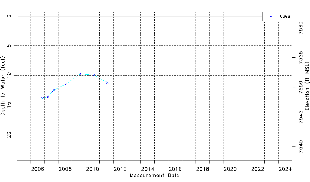
| Water-level Count | 8 |
| Water-level Date Range | 11/11/2006 thru 07/29/2011 |
| Monitored within the last 18 months | No, most recently on 07/29/2011 |
| Depth-to-Water Range (ft) | 9.73 to 13.85 |
| Water Table Elevation Range (ft NAVD88) | 7548.15 to 7552.27 |
| Water-Level-Source:Number-of-Measurements | USGS:8 |