| Well Information Table |
|---|
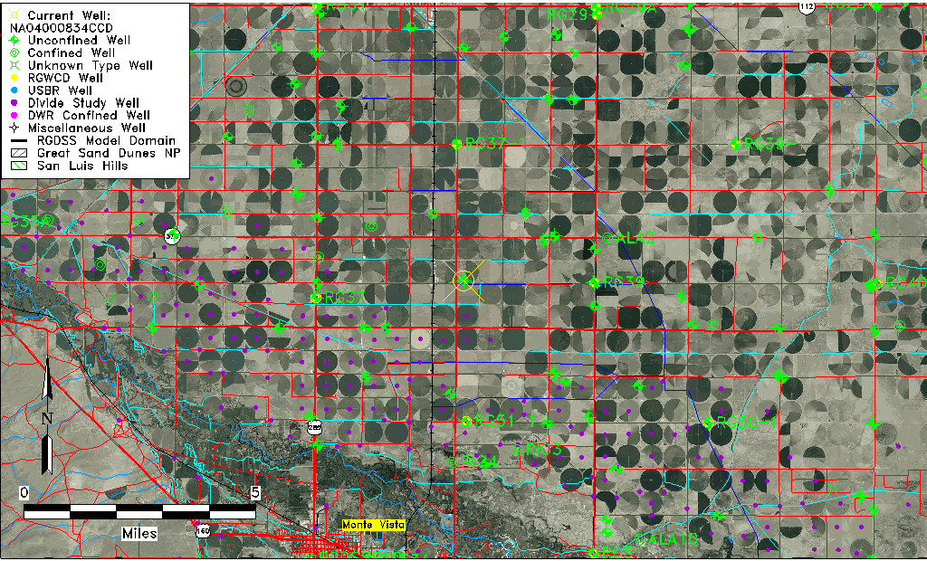
| Common Well ID | NA04000834CCD |
| USGS Well ID | 373927106052401 |
| USGS Station Name | NA04000834CCD |
| USGS Construction Date | 01/01/1967 |
| USGS Site Type | Well |
| USGS Site Use Information | Observation |
| USGS Groundwater Use Information | Unused |
| Data Source(s) | USGS |
| Location Data |
|---|
| TRS | NA04000834CCD |
| USGS TRS 1 | NA04000834CCD |
| USGS TRS | SESWSWS034T0040NR0008EN |
| Longitude/Latitude (NAD83) | -106.09058220 , 37.66222380 |
| Longitude/Latitude Data Source | GWSI decimal LAT/LONG field |
| USGS Longitude/Latitude (NAD83) | -106.090582200 , 37.662223800 |
| Easting, Northing RGDSS-NAD83 (US ft) | 79473.76 , 242837.12 |
| USGS Topography | Valley flat |
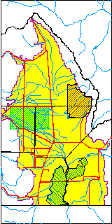
| USGS County | Rio Grande County |
| USGS Map Name | CENTER SOUTH |
| USGS Map Scale | 24000 |
| Elevation and Depth Data |
|---|
| Ground Elevation (ft NAVD88) | 7642.45 |
| Elevation Data Source | USGS GWSI database |
| USGS Ground Elevation (ft NGVD29) | 7638.00 |
| 1/3-Arc Second NED Ground Elevation (ft NAVD88) | 7643.06 |
| 1-Arc Second NED Ground Elevation (ft NAVD88) | 7642.80 |
| SRTM Ground Elevation (ft NAVD88) | 7641.41 |
| Total Depth (ft) | 13.00 |
| USGS Well Depth (ft) | 13.00 |
| Model Layer | 1 |
| Model Layer Source | Well Depth |
| Depth of Bottom of Layer 1 | 95 |
| Depth of Bottom of Layer 2 | 248 |
| Depth of Bottom of Layer 3 | 531 |
| Depth of Bottom of Layer 4 | 2427 |
| Additional Well Information | Geohydrology, Construction |
| Aquifer Information |
|---|
| Aquifer Type | Unconfined |
| Aquifer Type Source | TD Elevation/Model Layer |
| USGS Primary Aquifer | Cenozoic Erathem |
| USGS Hydrologic Unit | San Luis |
| USGS Data Available | Water-level (GW.LEV) |
| Water-level Database Information |
|---|
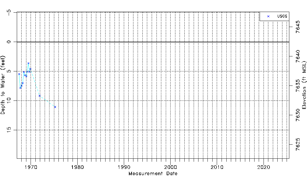
| Water-level Count | 13 |
| Water-level Date Range | 07/05/1967 thru 04/01/1975 |
| Monitored within the last 18 months | No, most recently on 04/01/1975 |
| Depth-to-Water Range (ft) | 3.63 to 11.08 |
| Water Table Elevation Range (ft NAVD88) | 7631.37 to 7638.82 |
| Water-Level-Source:Number-of-Measurements | USGS:13 |