| Well Information Table |
|---|
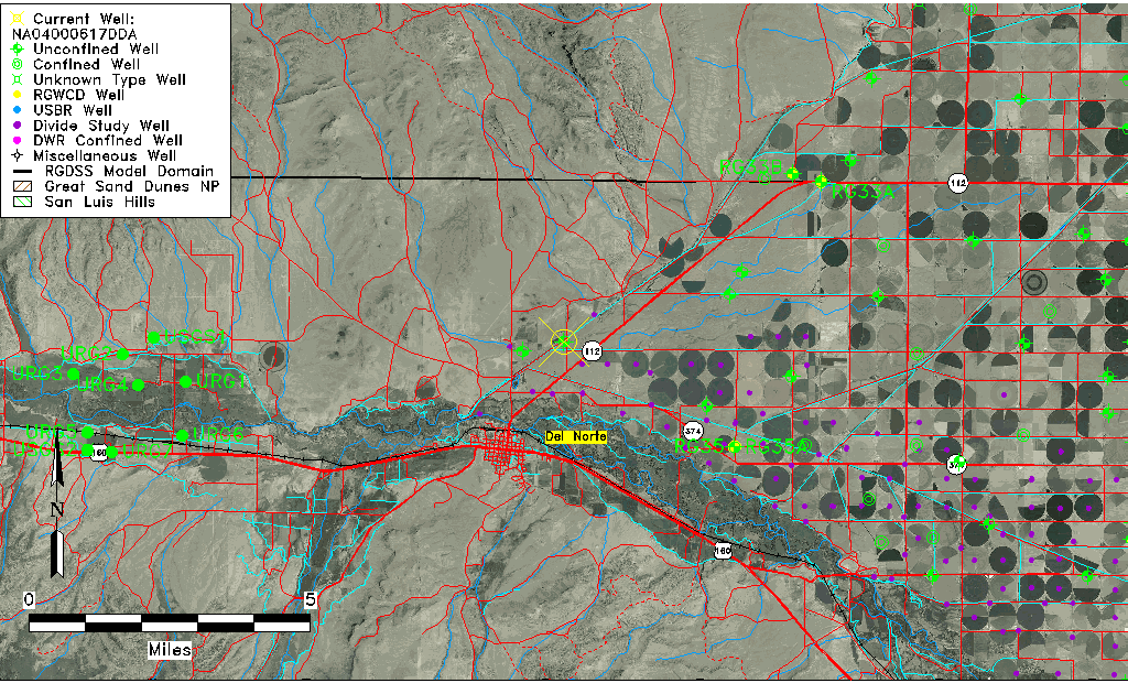
| Common Well ID | NA04000617DDA |
| USGS Well ID | 374224106195701 |
| USGS Station Name | NA04000617DDA |
| USGS Site Type | Well |
| USGS Site Use Information | Withdrawal of Water |
| USGS Groundwater Use Information | Domestic |
| Data Source(s) | USGS |
| Location Data |
|---|
| TRS | NA04000617DDA |
| USGS TRS 1 | NA04000617DDA |
| USGS TRS | NESESES017T0040NR0006EN |
| Longitude/Latitude (NAD83) | -106.33308980 , 37.70666930 |
| Longitude/Latitude Data Source | GWSI decimal LAT/LONG field |
| USGS Longitude/Latitude (NAD83) | -106.333089800 , 37.706669300 |
| Easting, Northing RGDSS-NAD83 (US ft) | 9406.87 , 259424.65 |
| USGS Topography | Valley flat |
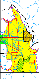
| USGS County | Rio Grande County |
| Elevation and Depth Data |
|---|
| Ground Elevation (ft NAVD88) | 7860.66 |
| Elevation Data Source | USGS GWSI database |
| USGS Ground Elevation (ft NGVD29) | 7856.00 |
| 1/3-Arc Second NED Ground Elevation (ft NAVD88) | 7857.50 |
| 1-Arc Second NED Ground Elevation (ft NAVD88) | 7857.70 |
| SRTM Ground Elevation (ft NAVD88) | 7867.42 |
| Total Depth (ft) | 21.00 |
| USGS Well Depth (ft) | 21.00 |
| Model Layer | 1 |
| Model Layer Source | Well Depth |
| Depth of Bottom of Layer 1 | 130 |
| Depth of Bottom of Layer 2 | 299 |
| Additional Well Information | Geohydrology, Construction |
| Aquifer Information |
|---|
| Aquifer Type | Unconfined |
| Aquifer Type Source | TD Elevation/Model Layer |
| USGS Primary Aquifer | Cenozoic Erathem |
| USGS Hydrologic Unit | San Luis |
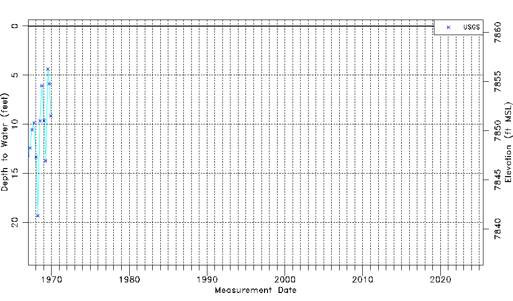
| USGS Data Available | Water-level (GW.LEV) |
| Water-level Database Information |
|---|
| Water-level Count | 13 |
| Water-level Date Range | 01/05/1967 thru 12/01/1969 |
| Monitored within the last 18 months | No, most recently on 12/01/1969 |
| Depth-to-Water Range (ft) | 4.38 to 19.30 |
| Water Table Elevation Range (ft NAVD88) | 7841.36 to 7856.28 |
| Water-Level-Source:Number-of-Measurements | USGS:13 |