| Well Information Table |
|---|
| Common Well ID | NA04001017DDA |
| USGS Well ID | 374225105533101 |
| USGS Station Name | NA04001017DDA |
| USGS Site Type | Well |
| USGS Site Use Information | Observation |
| USGS Groundwater Use Information | Unused |
| Data Source(s) | USGS, USGS |
| Location Data |
|---|
| TRS | NA04001017DDA |
| USGS TRS 1 | NA04001017DDA |
| Longitude/Latitude (NAD83) | -105.89252150 , 37.70694480 |
| Longitude/Latitude Data Source | GWSI decimal LAT/LONG field |
| USGS Longitude/Latitude (NAD83) | -105.892521500 , 37.706944800 |
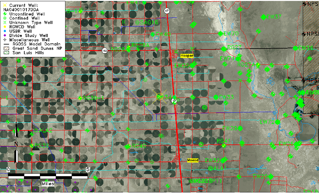
| Easting, Northing RGDSS-NAD83 (US ft) | 136829.66 , 258918.68 |
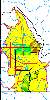
| USGS County | Alamosa County |
| Elevation and Depth Data |
|---|
| Ground Elevation (ft NAVD88) | 7560.86 |
| Elevation Data Source | USGS GWSI database |
| USGS Ground Elevation (ft NGVD29) | 7557.00 |
| 1/3-Arc Second NED Ground Elevation (ft NAVD88) | 7560.73 |
| 1-Arc Second NED Ground Elevation (ft NAVD88) | 7561.27 |
| SRTM Ground Elevation (ft NAVD88) | 7568.65 |
| Total Depth (ft) | 20.00 |
| USGS Hole Depth (ft) | 20.00 |
| USGS Well Depth (ft) | 20.00 |
| Model Layer | 1 |
| Model Layer Source | Dunes Layer |
| Depth of Bottom of Layer 1 | 86 |
| Depth of Bottom of Layer 2 | 233 |
| Depth of Bottom of Layer 3 | 1162 |
| Depth of Bottom of Layer 4 | 2318 |
| Additional Well Information | Logs, Geohydrology, Construction, Aquifer |
| Aquifer Information |
|---|
| Aquifer Type | Unconfined |
| Aquifer Type Source | TD Elevation/Model Layer |
| USGS Primary Aquifer | Cenozoic Erathem |
| USGS Aquifer Type | Unconfined Single Aquifer |
| USGS Hydrologic Unit | San Luis |
| USGS Data Available | Water-level (GW.LEV) |
| Water-level Database Information |
|---|
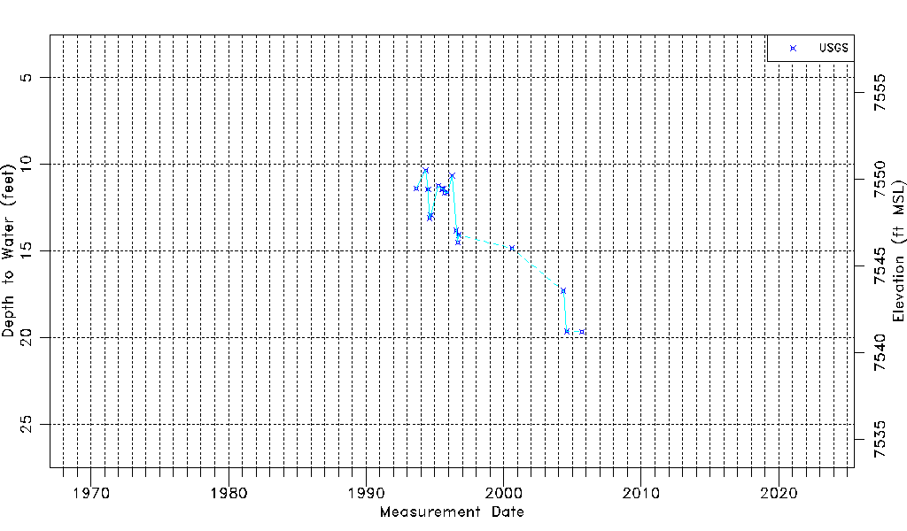
| Water-level Count | 19 |
| Water-level Date Range | 08/25/1993 thru 09/13/2005 |
| Monitored within the last 18 months | No, most recently on 09/13/2005 |
| Depth-to-Water Range (ft) | 10.35 to 19.66 |
| Water Table Elevation Range (ft NAVD88) | 7541.20 to 7550.51 |
| Water-Level-Source:Number-of-Measurements | USGS:19 |