| Well Information Table |
|---|
| Common Well ID | NA04000614ABB |
| USGS Well ID | 374330106163001 |
| USGS Station Name | NA04000614ABB |
| USGS Construction Date | 01/01/1948 |
| USGS Site Type | Well |
| USGS Site Use Information | Observation |
| USGS Groundwater Use Information | Unused |
| Data Source(s) | USGS |
| Location Data |
|---|
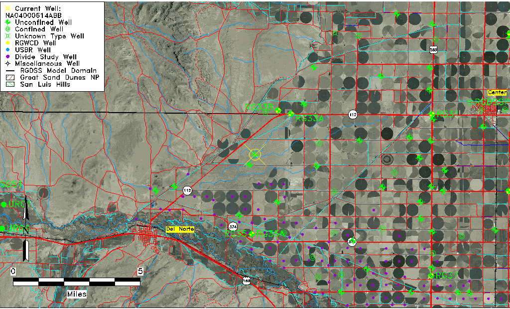
| TRS | NA04000614ABB |
| USGS TRS 1 | NA04000614ABB |
| USGS TRS | NWNWNES014T0040NR0006EN |
| Longitude/Latitude (NAD83) | -106.27558770 , 37.72500239 |
| Longitude/Latitude Data Source | GWSI decimal LAT/LONG field |
| USGS Longitude/Latitude (NAD83) | -106.275587700 , 37.725002390 |
| Easting, Northing RGDSS-NAD83 (US ft) | 26081.71 , 265985.61 |
| USGS Topography | Flat Surface |
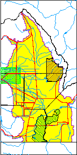
| USGS County | Rio Grande County |
| Elevation and Depth Data |
|---|
| Ground Elevation (ft NAVD88) | 7815.67 |
| Elevation Data Source | USGS GWSI database |
| USGS Ground Elevation (ft NGVD29) | 7811.00 |
| 1/3-Arc Second NED Ground Elevation (ft NAVD88) | 7791.79 |
| 1-Arc Second NED Ground Elevation (ft NAVD88) | 7791.98 |
| SRTM Ground Elevation (ft NAVD88) | 7795.30 |
| Total Depth (ft) | 13.00 |
| USGS Well Depth (ft) | 13.00 |
| Model Layer | 1 |
| Model Layer Source | Well Depth |
| Depth of Bottom of Layer 1 | 156 |
| Depth of Bottom of Layer 2 | 330 |
| Depth of Bottom of Layer 3 | 354 |
| Additional Well Information | Geohydrology, Construction |
| Aquifer Information |
|---|
| Aquifer Type | Unconfined |
| Aquifer Type Source | TD Elevation/Model Layer |
| USGS Primary Aquifer | Cenozoic Erathem |
| USGS Hydrologic Unit | Saguache |
| USGS Data Available | Water-level (GW.LEV) |
| Water-level Database Information |
|---|
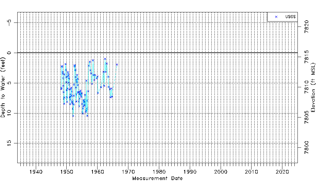
| Water-level Count | 119 |
| Water-level Date Range | 04/01/1948 thru 05/10/1966 |
| Monitored within the last 18 months | No, most recently on 05/10/1966 |
| Depth-to-Water Range (ft) | 1.02 to 10.47 |
| Water Table Elevation Range (ft NAVD88) | 7805.20 to 7814.65 |
| Water-Level-Source:Number-of-Measurements | USGS:119 |