| Well Information Table |
|---|
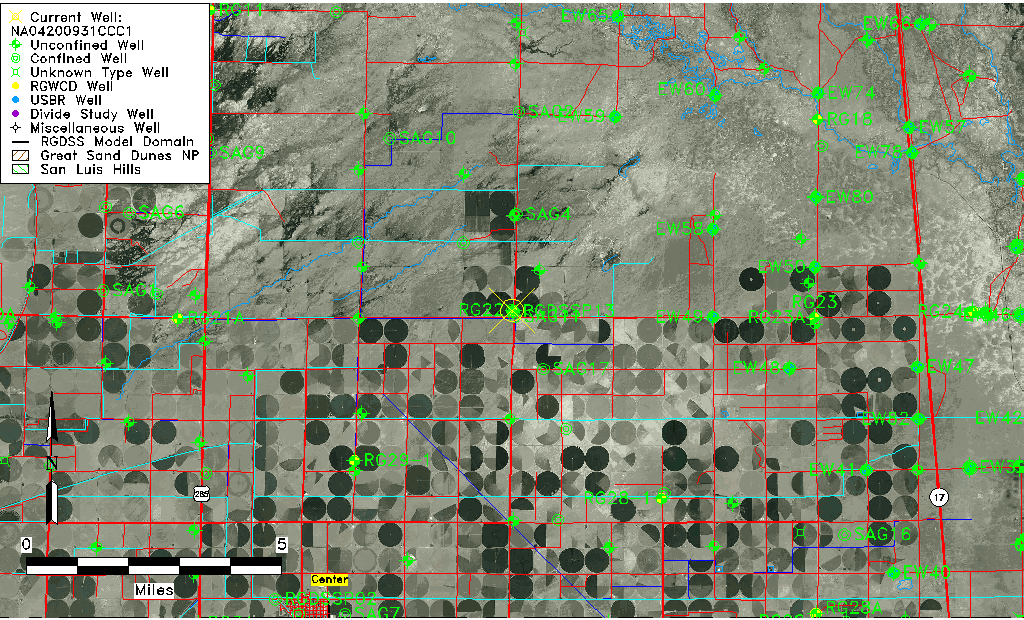
| Common Well ID | NA04200931CCC1 |
| USGS Well ID | 374500106021001 |
| USGS Station Name | NA04200931CCC1 |
| USGS Construction Date | 01/01/1955 |
| USGS Site Type | Well |
| USGS Site Use Information | Withdrawal of Water |
| USGS Groundwater Use Information | Irrigation |
| Data Source(s) | USGS |
| Location Data |
|---|
| TRS | NA04200931CCC1 |
| USGS TRS 1 | NA04200931CCC1 |
| USGS TRS | SWSWSWS031T0042NR0009EN |
| Longitude/Latitude (NAD83) | -106.03724500 , 37.83777760 |
| Longitude/Latitude Data Source | GWSI decimal LAT/LONG field |
| USGS Longitude/Latitude (NAD83) | -106.037245000 , 37.837777600 |
| Easting, Northing RGDSS-NAD83 (US ft) | 95162.38 , 306679.53 |
| USGS Topography | Valley flat |
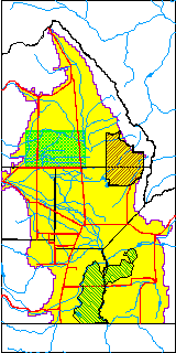
| USGS County | Saguache County |
| USGS Map Name | CENTER NORTH |
| USGS Map Scale | 24000 |
| Elevation and Depth Data |
|---|
| Ground Elevation (ft NAVD88) | 7582.21 |
| Elevation Data Source | USGS GWSI database |
| USGS Ground Elevation (ft NGVD29) | 7578.00 |
| 1/3-Arc Second NED Ground Elevation (ft NAVD88) | 7580.35 |
| 1-Arc Second NED Ground Elevation (ft NAVD88) | 7580.78 |
| SRTM Ground Elevation (ft NAVD88) | 7588.58 |
| Total Depth (ft) | 1347.00 |
| USGS Well Depth (ft) | 1347.00 |
| Model Layer | 4 |
| Model Layer Source | Well Depth |
| Depth of Bottom of Layer 1 | 104 |
| Depth of Bottom of Layer 2 | 220 |
| Depth of Bottom of Layer 3 | 672 |
| Depth of Bottom of Layer 4 | 2437 |
| Additional Well Information | Geohydrology, Construction |
| Aquifer Information |
|---|
| Aquifer Type | Confined |
| Aquifer Type Source | TD Elevation/Model Layer |
| USGS Primary Aquifer | Cenozoic Erathem |
| USGS Hydrologic Unit | Saguache |
| USGS Data Available | Water-level (GW.LEV) |
| Water-level Database Information |
|---|
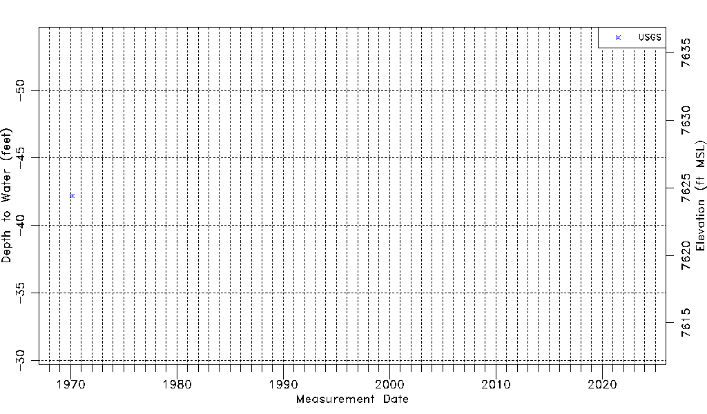
| Water-level Count | 1 |
| Water-level Date Range | 02/18/1970 thru 02/18/1970 |
| Monitored within the last 18 months | No, most recently on 02/18/1970 |
| Depth-to-Water Range (ft) | -42.20 to -42.20 |
| Water Table Elevation Range (ft NAVD88) | 7624.41 to 7624.41 |
| Water-Level-Source:Number-of-Measurements | USGS:1 |