| Well Information Table |
|---|
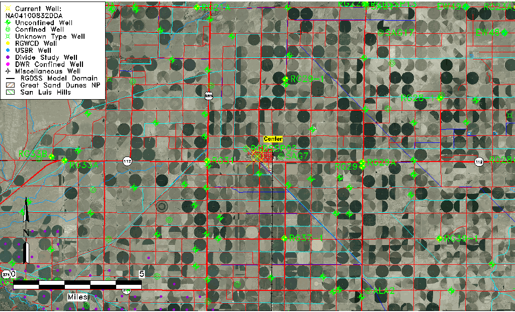
| Common Well ID | NA04100832DDA |
| USGS Well ID | 374505106064501 |
| USGS Station Name | NA04100832DDA |
| USGS Site Type | Well |
| USGS Site Use Information | Withdrawal of Water |
| USGS Groundwater Use Information | Public Supply |
| Data Source(s) | USGS |
| Location Data |
|---|
| TRS | NA04100832DDA |
| USGS TRS 1 | NA04100832DDA |
| USGS TRS | NESESES032T0041NR0008EN |
| Longitude/Latitude (NAD83) | -106.11308250 , 37.75138960 |
| Longitude/Latitude Data Source | GWSI decimal LAT/LONG field |
| USGS Longitude/Latitude (NAD83) | -106.113082500 , 37.751389600 |
| Easting, Northing RGDSS-NAD83 (US ft) | 73116.82 , 275326.84 |
| USGS Topography | Valley flat |
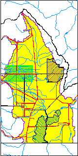
| USGS County | Saguache County |
| Elevation and Depth Data |
|---|
| Ground Elevation (ft NAVD88) | 7649.53 |
| Elevation Data Source | USGS GWSI database |
| USGS Ground Elevation (ft NGVD29) | 7645.00 |
| 1/3-Arc Second NED Ground Elevation (ft NAVD88) | 7647.11 |
| 1-Arc Second NED Ground Elevation (ft NAVD88) | 7646.74 |
| SRTM Ground Elevation (ft NAVD88) | 7661.06 |
| Total Depth (ft) | 500.00 |
| USGS Well Depth (ft) | 500.00 |
| Model Layer | 3 |
| Model Layer Source | Well Depth |
| Depth of Bottom of Layer 1 | 104 |
| Depth of Bottom of Layer 2 | 180 |
| Depth of Bottom of Layer 3 | 735 |
| Depth of Bottom of Layer 4 | 2485 |
| Additional Well Information | Geohydrology, Construction |
| Aquifer Information |
|---|
| Aquifer Type | Confined |
| Aquifer Type Source | TD Elevation/Model Layer |
| USGS Primary Aquifer | Cenozoic Erathem |
| USGS Hydrologic Unit | San Luis |
| USGS Data Available | Water-level (GW.LEV) |
| Water-level Database Information |
|---|
| Water-level Count | 2 |
| Water-level Date Range | 01/04/1969 thru 02/21/1970 |
| Monitored within the last 18 months | No, most recently on 02/21/1970 |
| Depth-to-Water Range (ft) | -4.80 to -4.50 |
| Water Table Elevation Range (ft NAVD88) | 7654.03 to 7654.33 |
| Water-Level-Source:Number-of-Measurements | USGS:2 |