| Well Information Table |
|---|
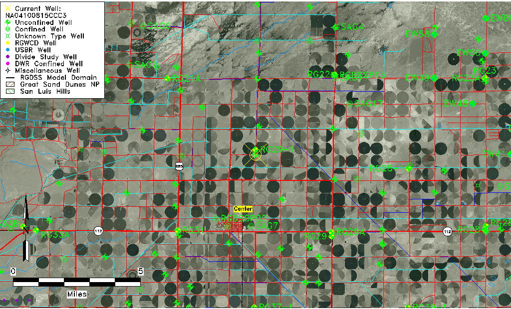
| Common Well ID | NA04100815CCC3 |
| USGS Well ID | 374725106053003 |
| USGS Station Name | NA04100815CCC3 |
| USGS Construction Date | 01/01/1964 |
| USGS Site Type | Well |
| USGS Site Use Information | Withdrawal of Water |
| USGS Groundwater Use Information | Irrigation |
| Data Source(s) | USGS |
| Location Data |
|---|
| TRS | NA04100815CCC3 |
| USGS TRS 1 | NA04100815CCC3 |
| USGS TRS | SWSWSWS015T0041NR0008EN |
| Longitude/Latitude (NAD83) | -106.09330340 , 37.79202820 |
| Longitude/Latitude Data Source | GWSI decimal LAT/LONG field |
| USGS Longitude/Latitude (NAD83) | -106.093303400 , 37.792028200 |
| Easting, Northing RGDSS-NAD83 (US ft) | 78901.50 , 290094.18 |
| USGS Topography | Valley flat |
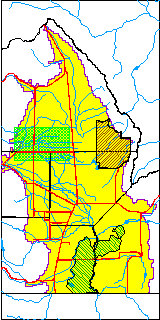
| USGS County | Saguache County |
| Elevation and Depth Data |
|---|
| Ground Elevation (ft NAVD88) | 7622.46 |
| Elevation Data Source | USGS GWSI database |
| USGS Ground Elevation (ft NGVD29) | 7618.00 |
| 1/3-Arc Second NED Ground Elevation (ft NAVD88) | 7622.15 |
| 1-Arc Second NED Ground Elevation (ft NAVD88) | 7622.00 |
| SRTM Ground Elevation (ft NAVD88) | 7636.63 |
| Total Depth (ft) | 95.00 |
| USGS Well Depth (ft) | 95.00 |
| Model Layer | 1 |
| Model Layer Source | Well Depth |
| Depth of Bottom of Layer 1 | 101 |
| Depth of Bottom of Layer 2 | 161 |
| Depth of Bottom of Layer 3 | 771 |
| Depth of Bottom of Layer 4 | 2567 |
| Additional Well Information | Geohydrology, Construction |
| Aquifer Information |
|---|
| Aquifer Type | Unconfined |
| Aquifer Type Source | TD Elevation/Model Layer |
| USGS Primary Aquifer | Cenozoic Erathem |
| USGS Aquifer Type | Unconfined Single Aquifer |
| USGS Hydrologic Unit | San Luis |
| USGS Data Available | Water-level (GW.LEV) |
| Water-level Database Information |
|---|
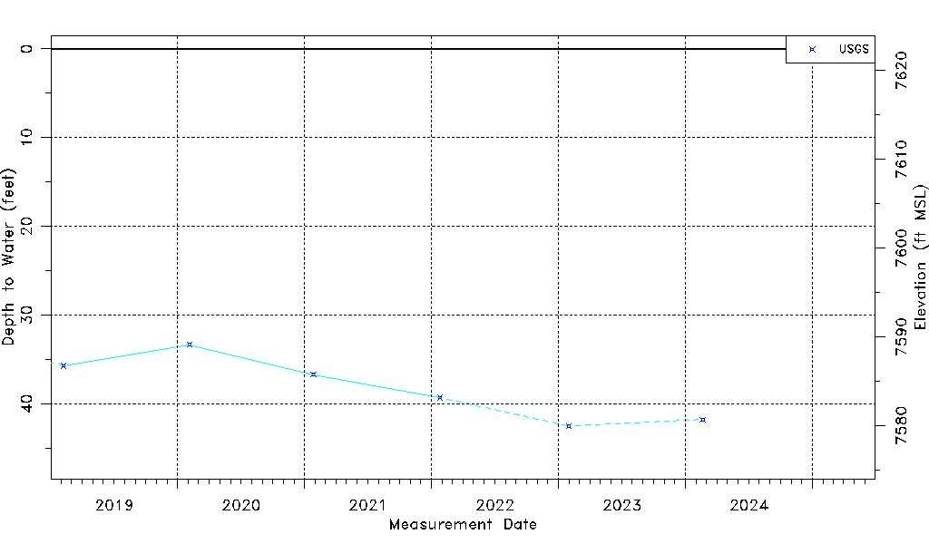
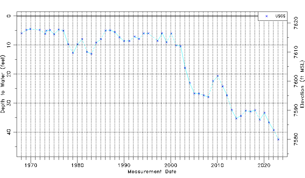
| Water-level Count | 56 |
| Water-level Date Range | 01/16/1968 thru 02/20/2024 |
| Monitored within the last 18 months | No, most recently on 02/20/2024 |
| Depth-to-Water Range (ft) | 4.48 to 42.49 |
| Water Table Elevation Range (ft NAVD88) | 7579.97 to 7617.98 |
| Water-Level-Source:Number-of-Measurements | USGS:56 |