| Well Information Table |
|---|
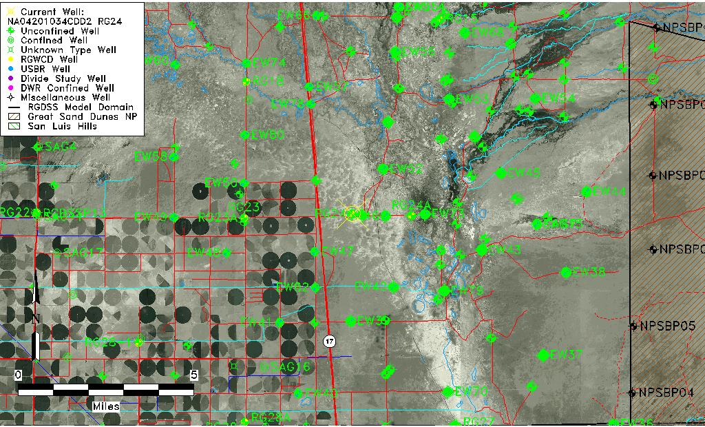
| Common Well ID | NA04201034CDD2 RG24 |
| RGWCD Well ID | RG24 |
| USGS Well ID | 375016105521901 |
| GSDNP Well Name | 375016105521901 |
| USGS Station Name | NA04201034CDD2 RG24 |
| USGS Site Type | Well |
| USGS Site Use Information | Observation |
| USGS Groundwater Use Information | Unused |
| Data Source(s) | USGS, RGWCD |
| Location Data |
|---|
| TRS | NA04201034CDD2 RG24 |
| RGWCD TRS | NA04201034CDD2 |
| USGS TRS 1 | NA04201034CDD2 RG24 |
| USGS TRS | SESESWS034T0042NR0010EN |
| Longitude/Latitude (NAD83) | -105.87251880 , 37.83777728 |
| Longitude/Latitude Data Source | GWSI decimal LAT/LONG field |
| USGS Longitude/Latitude (NAD83) | -105.872518800 , 37.837777280 |
| Easting, Northing RGDSS-NAD83 (US ft) | 142719.74 , 306531.91 |
| USGS Topography | Valley flat |
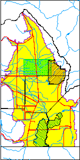
| USGS County | Saguache County |
| Elevation and Depth Data |
|---|
| Ground Elevation (ft NAVD88) | 7539.83 |
| Elevation Data Source | USGS GWSI database |
| RGWCD Measuring Point Elevation (ft NGVD29) | 0.000 |
| RGWCD Well Riser Height (ft) | 0.000 |
| USGS Ground Elevation (ft NGVD29) | 7536.00 |
| 1/3-Arc Second NED Ground Elevation (ft NAVD88) | 7538.96 |
| 1-Arc Second NED Ground Elevation (ft NAVD88) | 7539.43 |
| SRTM Ground Elevation (ft NAVD88) | 7542.63 |
| USGS Hole Depth (ft) | 7.00 |
| Model Layer | 1 |
| Model Layer Source | RGWCD |
| Depth of Bottom of Layer 1 | 93 |
| Depth of Bottom of Layer 2 | 236 |
| Depth of Bottom of Layer 3 | 1370 |
| Depth of Bottom of Layer 4 | 3730 |
| Additional Well Information | Geohydrology, Construction |
| Aquifer Information |
|---|
| Aquifer Type | Unconfined |
| Aquifer Type Source | RGWCD_AQ |
| USGS Primary Aquifer | Cenozoic Erathem |
| USGS Hydrologic Unit | San Luis |
| USGS Data Available | Water-level (GW.LEV) |
| Water-level Database Information |
|---|
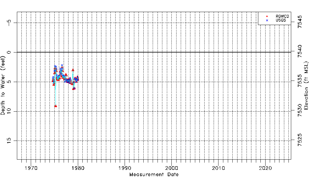
| Water-level Count | 94 |
| Water-level Date Range | 09/05/1974 thru 01/03/1980 |
| Monitored within the last 18 months | No, most recently on 01/03/1980 |
| Depth-to-Water Range (ft) | 2.18 to 9.10 |
| Water Table Elevation Range (ft NAVD88) | 7530.73 to 7537.65 |
| Water-Level-Source:Number-of-Measurements | RGWCD:61 USGS:53 |